We arrived in Athens at night and went to our hotel (360 Degrees Hotel) which is situated in Monastiraki Square it has a rooftop bar providing a magnificent view of the Acropolis and Parthenon. The hotel features a brilliant retro decor theme.
All images are geotagged and hyperlinked to open full screen. To view them on a map, save the image to your hard drive and then download this FREE SOFTWARE. Install and click on the image in the left panel to view in a map as to the location where it was taken. (SAMPLE VIEW)
The Acropolis from the rooftop bar of 360 Degrees Hotel
The Parthenon is a marble temple built between 447 and 432 BC, during the height of the ancient Greek Empire. It was dedicated to the Greek goddess Athenais located atop a compound of temples known as the Acropolis of Athens.
Altar of Aphrodite of Urania
As seen from the rooftop bar. The Altar of Aphrodite is the best preserved monument in the north side of the Agora. It was constructed in the 5th cent. BC, but remained in its place serving the adjacent temple dedicated to the same goddess, which flourished mainly during the Roman period. Most of the altar still survives.
Greek White Wine
Some of the Retro Decor both in our room and the hotel common areas.
NOTE: Clicking on any image will now see it open in a new tab and not in the current page.
A break from more recent travels and a jump back to a 2004 trip to Tasmania and visit to the Port Arthur Penal Settlement.
From 1833 until 1853, Port Arthur was the destination for the hardest of convicted British criminals, those who were secondary offenders having reoffended after their arrival in Australia. Rebellious personalities from other convict stations were also sent there. In addition, Port Arthur had some of the strictest security measures of the British penal system. The World Heritage Committee of UNESCO inscribed the Port Arthur Historic Site onto the World Heritage Register on 31 July 2010, as part of the Australian Convict Sites World Heritage property. Port Arthur is one of Australia’s most visited historical sites, receiving over 250,000 visitors each year.
All images are geotagged and hyperlinked to open full screen. To view them on a map, save the image to your hard drive and then download this FREE SOFTWARE. Install and click on the image in the left panel to view in a map as to the location where it was taken. (SAMPLE VIEW)
Junior Medical Officer’s House, Port Arthur Penal Settlement
The Penitentiarty
Lime Kiln & The Master Shipwrights House at the Dockyard
Isle of the Dead, Carnarvon Bay, Port Arthur
Isle of the Dead is a small Island adjacent to Port Arthur, Tasmania, Australia. The isle is historically significant as it retains: an Aboriginal coastal shell midden; one of the first recorded sea level benchmarks and one of the few preserved Australian convict period burial grounds.
Isle of the Dead forms part of the Port Arthur Historic Site. This site is part of Australian Convict Sites and is listed as a World Heritage Property, as it represents convictism in the time of British colonisation.
The Penitentiary
Price’s Kiln, Port Arthur
Built on land purchased in 1886 following the closure of the Port Arthur Penal Settlement by an English potter from Staffordshire, James Price. Following the death of Price, the kiln was used by local fisherman as storage until it in part collapsed. In 1982, it was fully restored but has never been put to use due to the fragility of the historic bricks.
We finished our visit to the glacial lagoons and on our last day in Iceland we began with a drive to the Thingvellir National Park, site of the original Icelandic Parliament and also where there is a meeting of the earth’s tectonic plates.
All images are geotagged and hyperlinked to open full screen. To view them on a map, save the image to your hard drive and then download this FREE SOFTWARE. Install and click on the image in the left panel to view in a map as to the location where it was taken. (SAMPLE VIEW)
(14 images stitched – Each image is 30,000 x 3,000 pixels – infrared filter applied in 2nd image)
Snow Capped behind Thingvellir Tourist Information Centre, Þingvallavegur, Thingvellir, Iceland
Misty Panorama, Thingvellir Tourist Information Centre, Þingvallavegur, Thingvellir, Iceland
Sunrise, Thingvellir Tourist Information Centre, Þingvallavegur, Thingvellir, Iceland
Sunrise, Þingvallavatn, Thingvellir, Iceland
Thingvalla Church & Prime Minister’s Summer Residence, Thingvallir, Selfoss, Iceland
Site of the Icelandic Parliament, Thingvellir National Park, Thingvellir, Selfoss, Iceland
“Þingvellir” means assembly fields and in the year 930 AD, Iceland’s historic democratic parliament – one of the first in the world – was founded here. It was the site of the annual parliament of Iceland from 930AD to 1798AD, when the parliament moved indoors to the Althing in Reykjavik. Most Icelandic people regard Þingvellir as a sacred place, a place of great beauty and an incredible stepping stone in their history. It is also the site of the declaration of Iceland’s peaceful conversion to Christianity in around the year 1000 AD by the great Law Speaker, Þorgeir Ljósvetningagoði Þorkelsson,. A unique compromise was arrived at which made Christianity the official religion of Iceland.
The geological feature behind is the meeting of the North American and Eurasian tectonic plates.
Tectonic Geological Feature, Thingvellir National Park, Thingvellir, Selfoss, Iceland
Þingvallavatn , Thingvellir National Park, Thingvellir, Selfoss, Iceland
Snowcaps, Thingvellir National Park, Thingvellir, Selfoss, Iceland
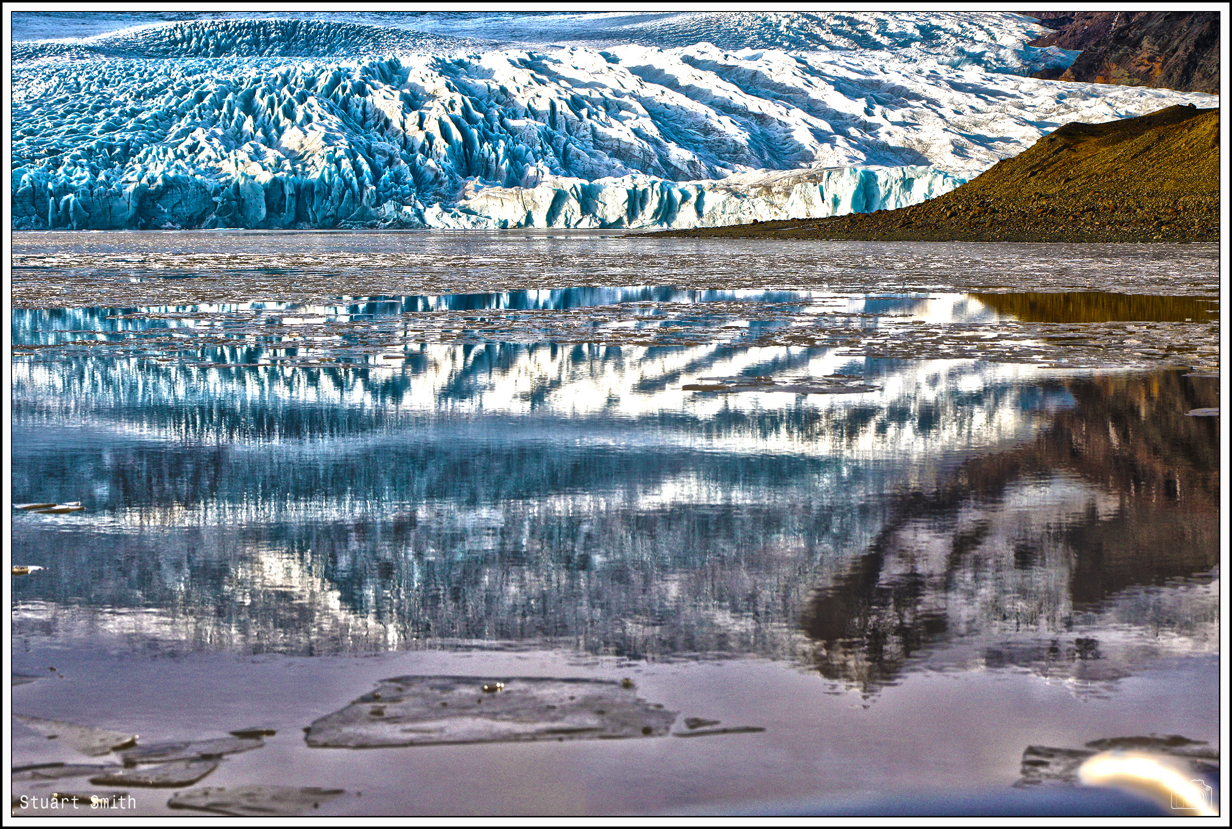
Continuing the drive Eastward beyond Vik we reached the glacial lake / lagoon Fjallsárlón which is at the south end of the Icelandic glacier Vatnajökull. Fjallsjökull which is part of the bigger glacier reaches down to the water of the lake and some icebergs are drifting by on its surface. We were lucky to be able to take a ride around the lagoon in a rubber Zodiac!
All images are geotagged and hyperlinked to open full screen. To view them on a map, save the image to your hard drive and then download this FREE SOFTWARE. Install and click on the image in the left panel to view in a map as to the location where it was taken. (SAMPLE VIEW)
Continuing the drive along the coastal road eastward toward the town of Vik and beyond.
All images are geotagged and hyperlinked to open full screen. To view them on a map, save the image to your hard drive and then download this FREE SOFTWARE. Install and click on the image in the left panel to view in a map as to the location where it was taken. (SAMPLE VIEW)
Dyrhólaey Lighthouse, Dyrhólaey, Vik, Iceland
Ocean View, Dyrhólaey, Vik, Iceland
Rock Bridge, Dyrhólaey, Vik, Iceland
Panorama, Vík í Mýrdal, Vik, Iceland
Vík í Mýrdal Church, Sunnubraut, Vík í Mýrdal, Vik, Iceland
Hillsides, Sunnubraut, Vík í Mýrdal, Vik, Iceland
Glacier, Þjóðvegur, Vík í Mýrdal, Vik, Suðurland, Iceland
Road Ahead, Þjóðvegur, Vík í Mýrdal, Vik, Suðurland, Iceland
“Church Floor” is a natural pavement of basalt. These are basalt columns in the earth, but only the tops can be seen, and as the name suggests, they have the appearance of a paved church floor. This lava formation has similar origins to the Giant’s Causeway in Ireland.
I decided to try my hand at something different….. this is the result!
All images are geotagged and hyperlinked to open full screen. To view them on a map, save the image to your hard drive and then download this FREE SOFTWARE. Install and click on the image in the left panel to view in a map as to the location where it was taken. (SAMPLE VIEW)
Fimiston Open Pit, Fimiston, Kalgoorlie-Boulder, Western Australia
The pit is oblong in plan view and is approximately 3.5 kilometres long, 1.5 kilometres wide and over 600 metres deep. Until 2016 it was Australia’s largest open cut gold mine now surpassed by Newmont’s Boddington gold mine also in Western Australia.
“The Swilkie”, Pentland Firth, Orkney Islands, Scotland UK
‘The Swilkie’ is the most dangerous whirlpool in the Pentland Firth. It is occasioned by the meeting of four or five contrary tides. According to Icelandic legend, the Swilkie is the place where the salt which maintains the saltiness of the oceans is ground in a giant quern, stolen from King Frodi by a sea-king named Mysing. When Mysing’s longship sank off Stroma under the weight of it, he still continued to grind away with it 15 fathoms down and to this day the sea can still be heard roaring through it.
‘The Swilkie” is off the northern coast of the Island of Stroma.