Iceland 2019 Part X

We finished our visit to the glacial lagoons and on our last day in Iceland we began with a drive to the Thingvellir National Park, site of the original Icelandic Parliament and also where there is a meeting of the earth’s tectonic plates.


All images are geotagged and hyperlinked to open full screen. To view them on a map, save the image to your hard drive and then download this FREE SOFTWARE. Install and click on the image in the left panel to view in a map as to the location where it was taken.  (SAMPLE VIEW)

(14 images stitched – Each image is 30,000 x 3,000 pixels – infrared filter applied in 2nd image)

View full size images – ColourInfrared

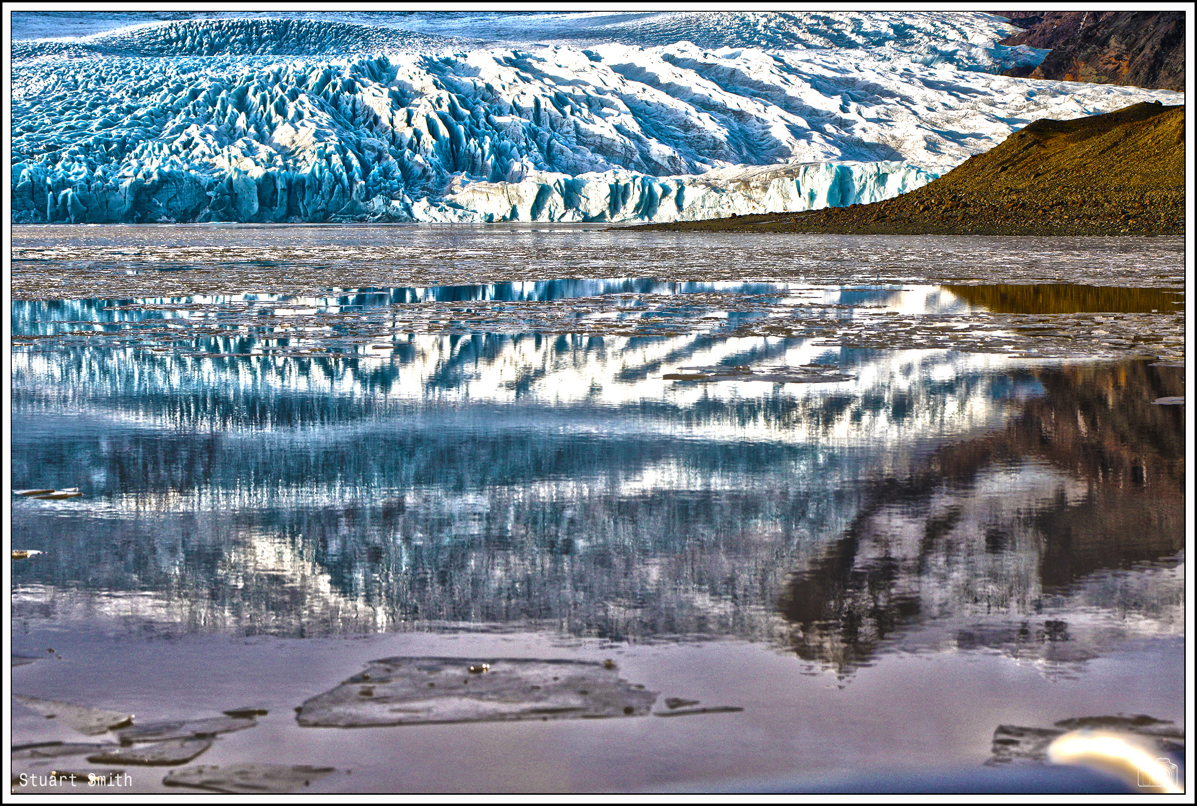
Glacial Lagoon, Jökulsárlón, Austurland, Iceland

.

Breiðamerkursandur, Jökulsárlón, Austurland, Iceland

(Glacial outwash plain – ice floes and icebergs from the nearby glacier can drift through a channel and into the ocean)

Mountain View from Breiðamerkursandur, Jökulsárlón, Austurland, Iceland

Monument aux Morts, Sudurlandsvegur, Kögunarhóll, Iceland

Erected in 2006 The crosses represent the 52 individuals who have lost their lives on the road between Reykjavík and Selfoss since 1972.

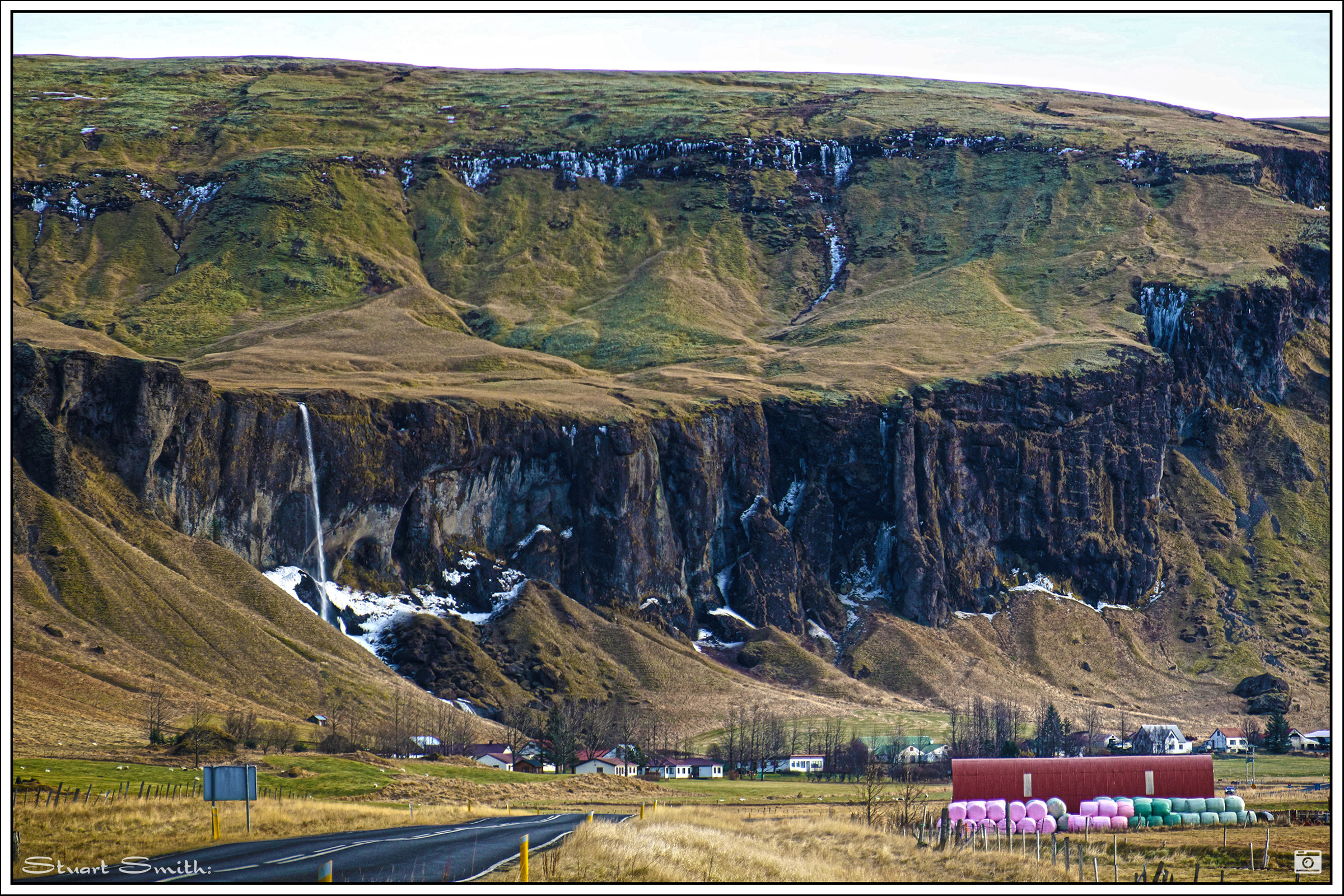
(Geothermal activity can be seen in the background)

Panorama, Sudurlandsvegur, Kögunarhóll, Iceland

Snow Capped, Þingvallavegur, Mosfellsbær, Iceland

Misty Panorama, Þingvallavegur, Mosfellsbær, Iceland


Snow Capped behind Thingvellir Tourist Information Centre, Þingvallavegur, Thingvellir, Iceland

Misty Panorama, Thingvellir Tourist Information Centre, Þingvallavegur, Thingvellir, Iceland

Sunrise, Thingvellir Tourist Information Centre, Þingvallavegur, Thingvellir, Iceland

Sunrise, Þingvallavatn, Thingvellir, Iceland

Thingvalla Church & Prime Minister’s Summer Residence, Thingvallir, Selfoss, Iceland

Site of the Icelandic Parliament, Thingvellir National Park, Thingvellir, Selfoss, Iceland

“Þingvellir” means assembly fields and in the year 930 AD, Iceland’s historic democratic parliament – one of the first in the world – was founded here. It was the site of the annual parliament of Iceland from 930AD to 1798AD, when the parliament moved indoors to the Althing in Reykjavik. Most Icelandic people regard Þingvellir as a sacred place, a place of great beauty and an incredible stepping stone in their history. It is also the site of the declaration of Iceland’s peaceful conversion to Christianity in around the year 1000 AD by the great Law Speaker, Þorgeir Ljósvetningagoði Þorkelsson,. A unique compromise was arrived at which made Christianity the official religion of Iceland.

The geological feature behind is the meeting of the North American and Eurasian tectonic plates.

Tectonic Geological Feature, Thingvellir National Park, Thingvellir, Selfoss, Iceland

Þingvallavatn , Thingvellir National Park, Thingvellir, Selfoss, Iceland

Snowcaps, Thingvellir National Park, Thingvellir, Selfoss, Iceland

Reflections, Þingvallavatn, Thingvellir,Selfoss, Iceland

Iceland 2019 Part IX

Continuing the drive Eastward beyond Vik we reached the glacial lake / lagoon Fjallsárlón which is at the south end of the Icelandic glacier Vatnajökull. Fjallsjökull which is part of the bigger glacier reaches down to the water of the lake and some icebergs are drifting by on its surface. We were lucky to be able to take a ride around the lagoon in a rubber Zodiac!


All images are geotagged and hyperlinked to open full screen. To view them on a map, save the image to your hard drive and then download this FREE SOFTWARE. Install and click on the image in the left panel to view in a map as to the location where it was taken.  (SAMPLE VIEW)


Iceland 2019 Part VII

Continuing the drive along the coastal road eastward toward the town of Vik and beyond.

All images are geotagged and hyperlinked to open full screen. To view them on a map, save the image to your hard drive and then download this FREE SOFTWARE. Install and click on the image in the left panel to view in a map as to the location where it was taken.  (SAMPLE VIEW)

Dyrhólaey Lighthouse, Dyrhólaey, Vik, Iceland

Ocean View, Dyrhólaey, Vik, Iceland

Rock Bridge, Dyrhólaey, Vik, Iceland

Panorama, Vík í Mýrdal, Vik, Iceland

Vík í Mýrdal Church, Sunnubraut, Vík í Mýrdal, Vik, Iceland

Hillsides, Sunnubraut, Vík í Mýrdal, Vik, Iceland

Glacier, Þjóðvegur, Vík í Mýrdal, Vik, Suðurland, Iceland

Road Ahead, Þjóðvegur, Vík í Mýrdal, Vik, Suðurland, Iceland

Cloud Shrouded Mountains, Þjóðvegur, Laufskálavarða, Iceland

Road Bridge, Skaftártunguvegur, Katla Geopark, Suðurland, Iceland

Geirlandsvegur, Skaftárhreppur, Iceland

Rock Formation, Geirland, Kirkjubæjarklaustri, Iceland

“Church Floor”, Geirland, Kirkjubæjarklaustur, Iceland

“Church Floor” is a natural pavement of basalt. These are basalt columns in the earth, but only the tops can be seen, and as the name suggests, they have the appearance of a paved church floor. This lava formation has similar origins to the Giant’s Causeway in Ireland.

Snowcaps, Geirland, Kirkjubæjarklaustri, Iceland

Rocky Peak, Þjóðvegur, Hörgsland, Iceland

Small Waterfall, Þjóðvegur, Hörgsland, Iceland

Abandoned Hut, Þjóðvegur, Hörgsland, Iceland

Rocky Range, Þjóðvegur, Hörgsland, Iceland

Frozen Waterfalls, Þjóðvegur, Hörgsland, Iceland

Escarpment, Foss á Síðu, Þjóðvegur, Iceland

Iceland 2019 Part I

.

After a week or more in London, we are now spending 8 days in Iceland. This is a place of outstanding beauty and scenery everywhere you look.

View Across Hvalfjörður Fjord, Highway Ring Road, Vesturland, Hvalfjarðarsveit, Iceland

Entrance to Hvalfjörður Tunnel (South), Highway Ring Road, Saurbaer, Mosfellsbæ, Iceland

This is a road tunnel under the Hvalfjörður fjord in Iceland and a part of Route 1. It is 5,770 metres long and reaches a depth of 165 metres below sea level. Opened on 11 July 1998, it shortens the distance from Reykjavík to the western and northern parts of the island by 45 kilometers. Passing the fjord now takes 7 minutes instead of about an hour.

Hafnarfjall Mountain, Highway Ring Road, Borgannes, Iceland

View to Borgarbyggð Across Borgarfjörður Fjord, Highway Ring Road, Borgarnes, Iceland

The Hire Car, Highway Ring Road, Borgarnes, Iceland

Panorama Across Borgarfjörður, Borgarnes, Iceland

Hraunsnef Country Hotel, Highway Ring Road, Reykholt, Iceland

River, Reykholt, Iceland

Snow Caps, Highway Ring Road, Northwestern Region, Iceland

Icelandic Ponies, Highway Ring Road, Hvammstangi, Northwestern Region, Iceland

The Icelandic horse is a breed of horse developed in Iceland. Although the horses are small, at times pony-sized, most registries for the Icelandic refer to it as a horse. Icelandic horses are long-lived and hardy. In their native country they have few diseases; Icelandic law prevents horses from being imported into the country and exported animals are not allowed to return. They have been developed from ponies taken to Iceland by Norse settlers in the 9th and 10th centuries.

View Across Miðfjörður Fjord, Hvammstangi, Iceland

Skarðsviti Lighthouse, Húnaflói Bay, Hvammstangi, Vatnsnes Peninsula, Northwestern Region, Iceland

Stone Cairn, Vatnsnesvegur Road, Blönduósi, Northwestern Region, Iceland

“Meet the Locals”, Vatnsnesvegur Road, Lækjamót, Northwestern Region, Iceland

Mountain View, Borgarnes, Iceland

Sunset at Hvalfjörður (Whale Fjord), Iceland

Old Whaling Station, Hvalfjörður (Whale Fjord), Iceland

A Seal Swimming in the Fjord, Hvalfjörður (Whale Fjord), Iceland

Geirshólmi Island, Hvalfjörður (Whale Fjord), Iceland

Imposing Peak, Hvalfjarðarvegur, Iceland

Fossárrétt Waterfall, Hvalfjarðarvegur, Iceland

Laxfloss Waterfall, Laxá í Kjós, Hvalfjarðarvegur, Iceland

Laxá í Kjós, Hvalfjarðarvegur, Iceland