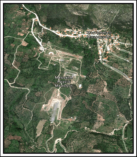
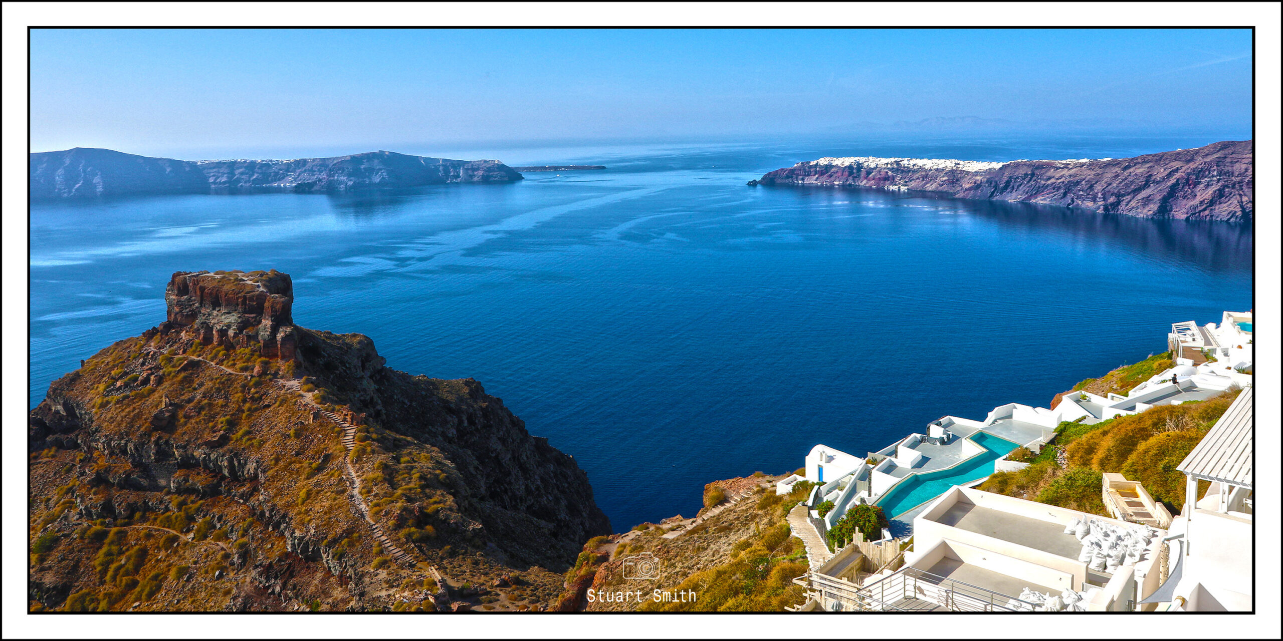
All images are geotagged and hyperlinked to open full screen. To view them on a map, save the image to your hard drive and then download this FREE SOFTWARE. Install and click on the image in the left panel to view in a map as to the location where it was taken. (SAMPLE VIEW)
The final post from our Greek sojourn – next up will be Florence, Italy
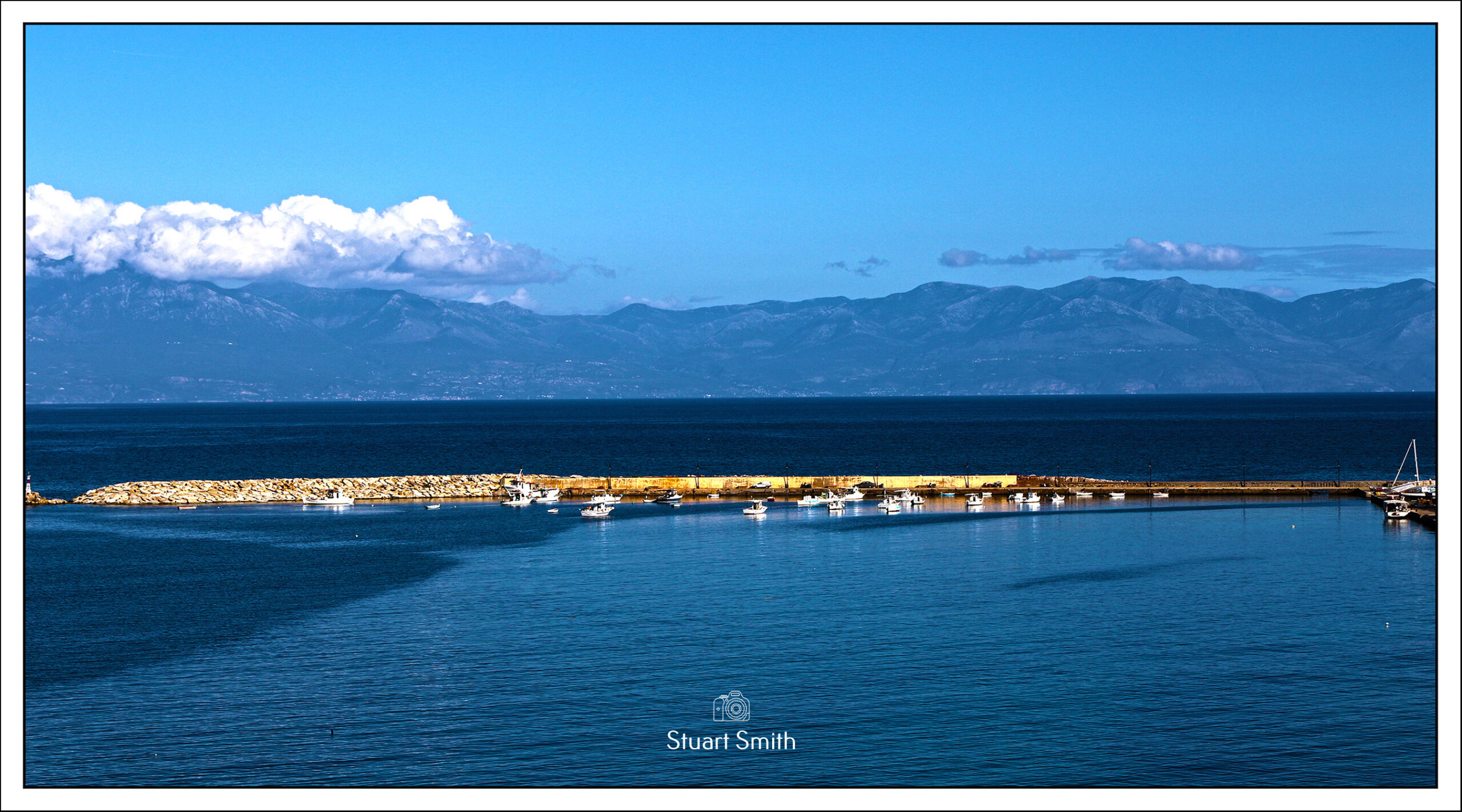


Waterfront, Koróni, Greece

Koróni Castle, Koróni, Greece

Bollards, Waterfront, Koróni, Greece


Doors of Koróni, Greece


Laneways, Alleys & Streets of Koróni, Greece

Kamares Cafe Bar, Koróni, Greece

Memorial, Karapavlou, Koróni, Greece

Derelict Building, Koróni, Greece

Rachel Bakery, Koróni, Greece
The Corinth Canal
The Corinth Canal connects the Gulf of Corinth in the Ionian Sea with the Saronic Gulf in the Aegean Sea. It cuts through the narrow Isthmus of Corinth and separates the Peloponnese from the Greek mainland, arguably making the peninsula an island. The canal was dug through the isthmus at sea level and has no locks. The canal consists of a single channel 8 metres (26 ft) deep, excavated at sea level (thus requiring no locks), measuring 6,343 metres (20,810 ft) long by 24.6 metres (81 ft) wide at sea level and 21.3 metres (70 ft) wide at the bottom. The rock walls, which rise 90 metres (300 ft) above sea level, are at a near-vertical 80° angle. The canal is crossed by a railway line, a road and a motorway at a height of about 45 metres (148 ft). In 1988 submersible bridges were installed at sea level at each end of the canal, by the eastern harbour of Isthmia and the western harbour of Poseidonia.
Although the canal saves the 700-kilometre (430 mi) journey around the Peloponnese, it is too narrow for modern ocean freighters, as it can accommodate ships only of a width up to 17.6 metres (58 ft) and draft up to 7.3 metres (24 ft). In October 2019, with over 900 passengers on board, a 22.5 metres (74 ft) wide and 195 metres (640 ft) long, Fred. Olsen Cruise Lines cruise ship successfully traversed the canal to set a new record for longest ship to pass through the canal. Ships can pass through the canal only one convoy at a time on a one-way system. Larger ships have to be towed by tugs. The canal is currently used mainly by tourist ships; around 11,000 ships per year travel through the waterway.


Submersible Bridge (Isthmia Bridge), Corinth Canal, Isthmus of Corinth, Greece


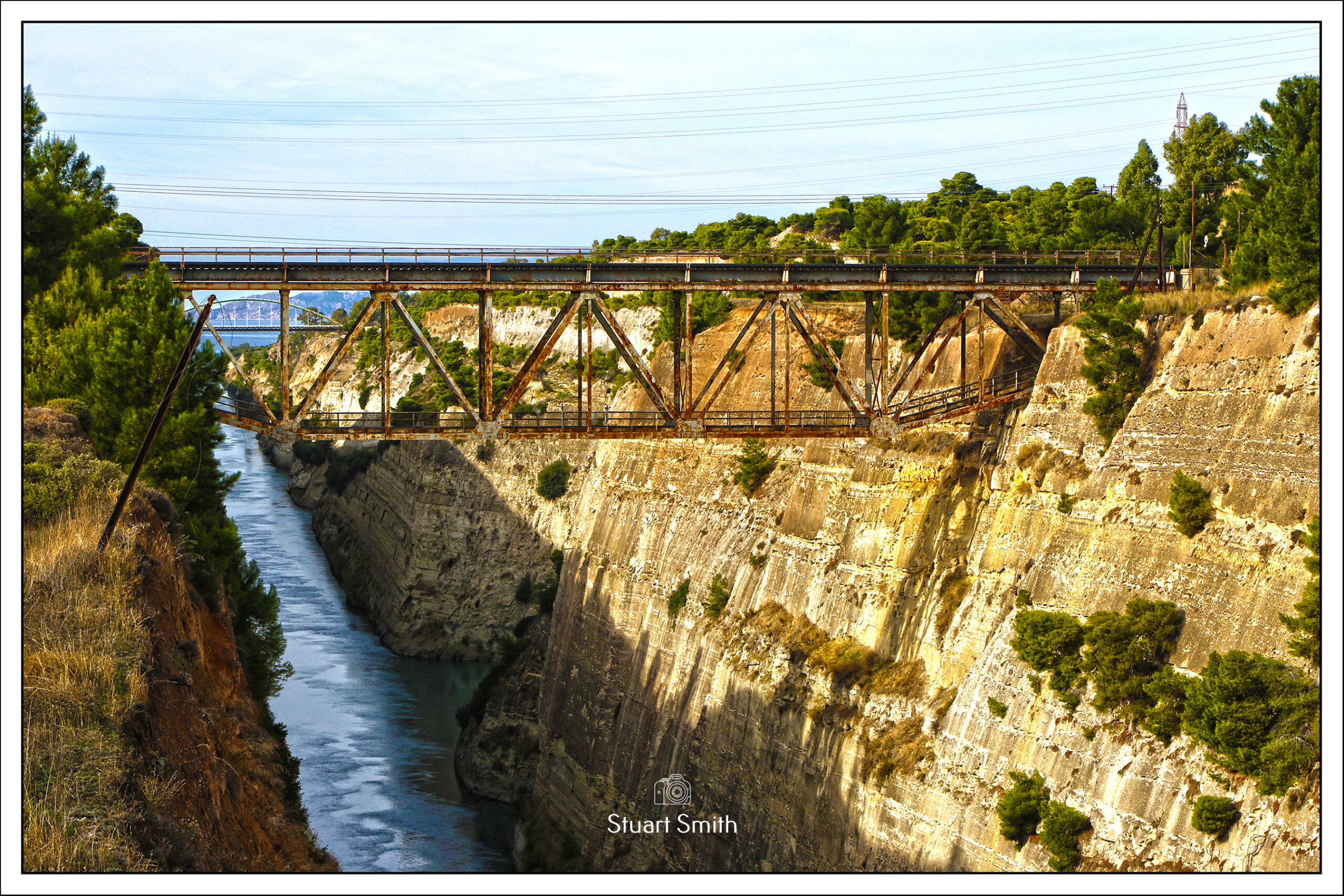


Corinth Canal

Art Installation, Palea EO Athinon Korinthou, Isthmia, Greece


Bungee Jumper Corinth Canal Old Bridge, Isthmia, Greece

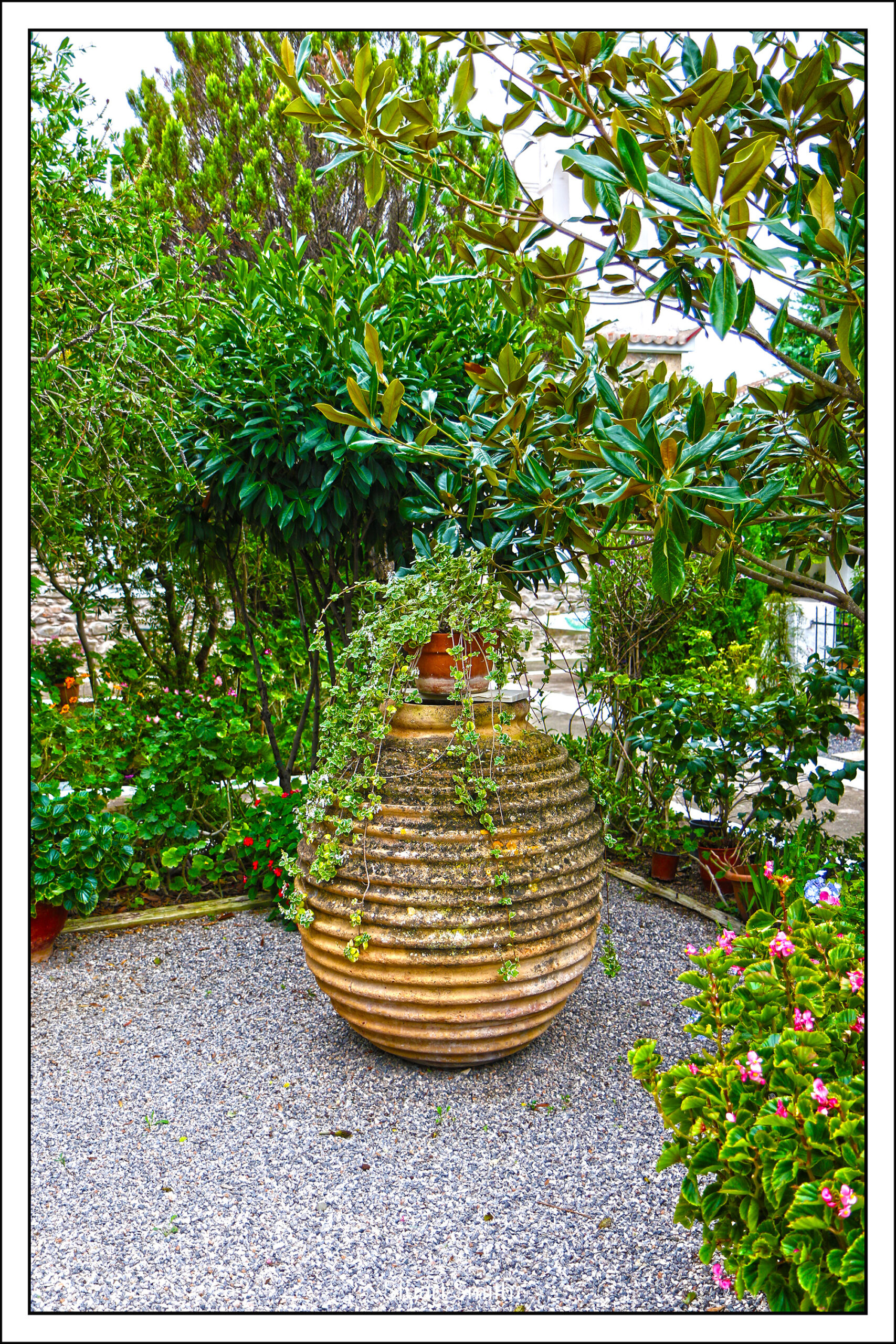
Garden Gate, Petrou Papasideri, Markopoulo Mesogaias, Athens, Greece