After all this time, this is the final post of our 2023 sojourn. After a night in Birstwith we spend a couple of days in historic Banbury and Bath before returning to London to fly home to Australia.

 Weir on River Nidd, Wreaks Road, Birstwith, Harrogate, North Yorkshire, England UK
 River Nidd, Wreaks Road, Birstwith, Harrogate, North Yorkshire, England UK
 Town Hall, Bridge Street, Banbury, Oxfordshire, England UK
 “Lamprey’s Buildings”, Bridge Street, Banbury, Oxfordshire, England UK
Very hard to find information on this heritage building.
Alamy Stock Photos quotes:-
“Lampreys Building. In 1834 John Lamprey bought the corn merchandising business of R. Edmunds and Son. He lived above his shop here and the building became the company headquarters.”
This building bears the date of 1839 so I can only guess that the business was established elsewhere prior to construction of these premises.
 Post Box, High Street, Banbury, Oxfordshire, England UK
-*-*-*-Image 1-*-*-*-Image 2-*-*-*-
 HSBC Bank, Market Place, Banbury, Oxfordshire, England UK
 Cornhill Corn Exchange (Castle Shopping Centre), Market Place, Banbury, Oxfordshire, England UK
 The Wine Vaults, Parsons Street, Banbury, Oxfordshire, England UK
A Grade II Listed Building
 Parson’s Street, Banbury, Oxfordshire, England UK
Ye Olde Reine Deer Inn on the right – said to have hosted both William Shakespeare and Oliver Cromwell in their days.
 Bar Door, The Cromwell Hotel, North Bar Street, Banbury, Oxfordshire,England UK
 No. 1 Parson’s Street, Banbury, Oxfordshire, England UK
Originates in the 17th century and is a grade II Listed Building
 Doorway, No. 1 Parson’s Street, Banbury, Oxfordshire, England UK
 Abraxas Cookshop, Market Place, Banbury, Oxfordshire, England UK
The dark bit between the buildings is a separate individual place.
 JT Davies Bar & Restaurant, Cornhill, Market Place, Banbury, Oxfordshire, England UK
 “Capri”, 24 Cornhill Market Place, Banbury, Oxfordshire, England UK
Now an Italian restaurant
 Nationwide Building Society, Market Place, Banbury, Oxfordshire, England UK

 Heritage Buildings, Market Place, Banbury, Oxfordshire, England UK
 Old Sign, Mill Lane, Banbury, Oxfordshire, England UK
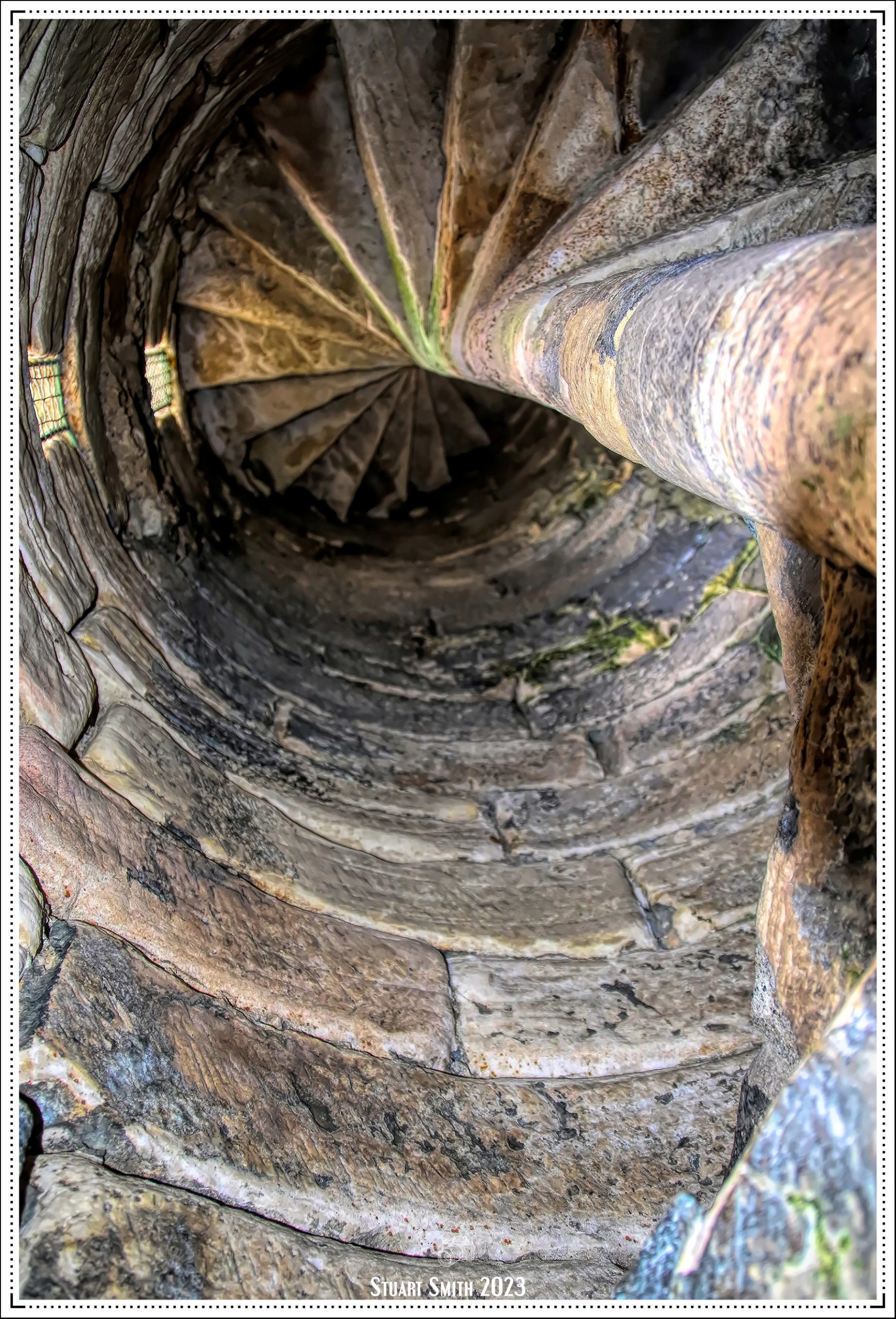
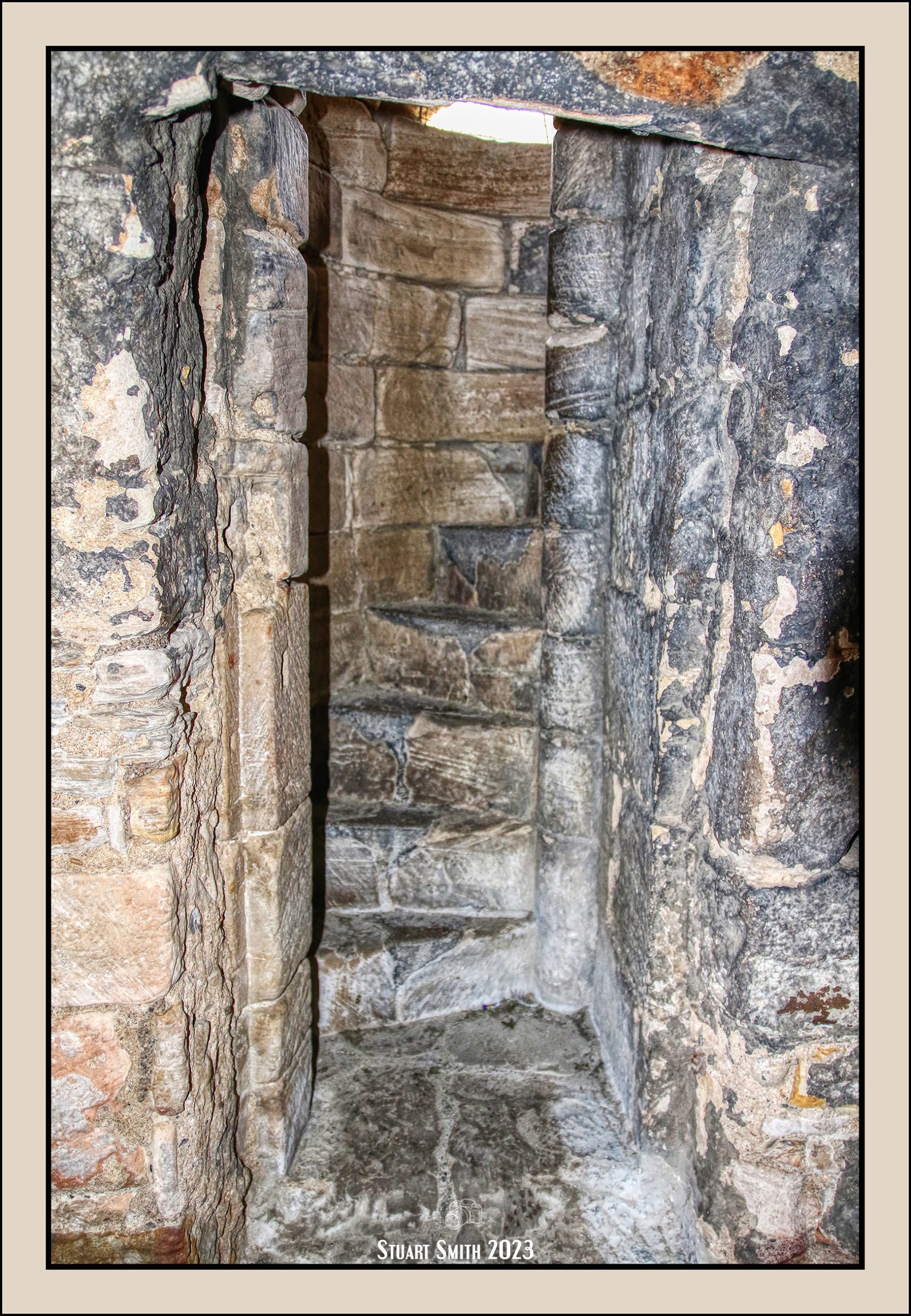
 Lock 29, Banbury Lock, Oxford Canal, Banbury, Oxfordshire, England UK
 Oxford Canal, Banbury, Oxfordshire, England UK
 |
 |
 |
 |
 |
 |
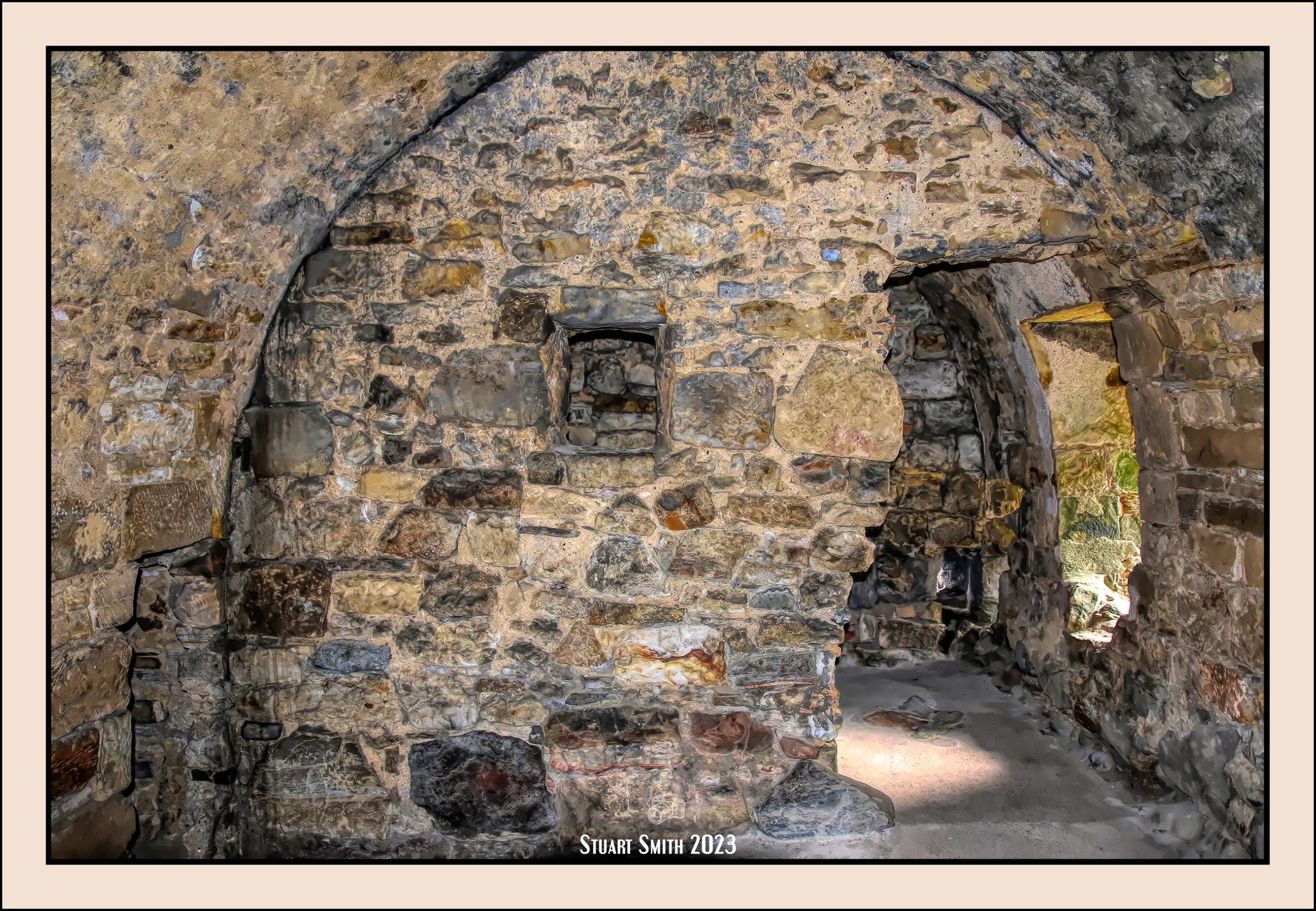
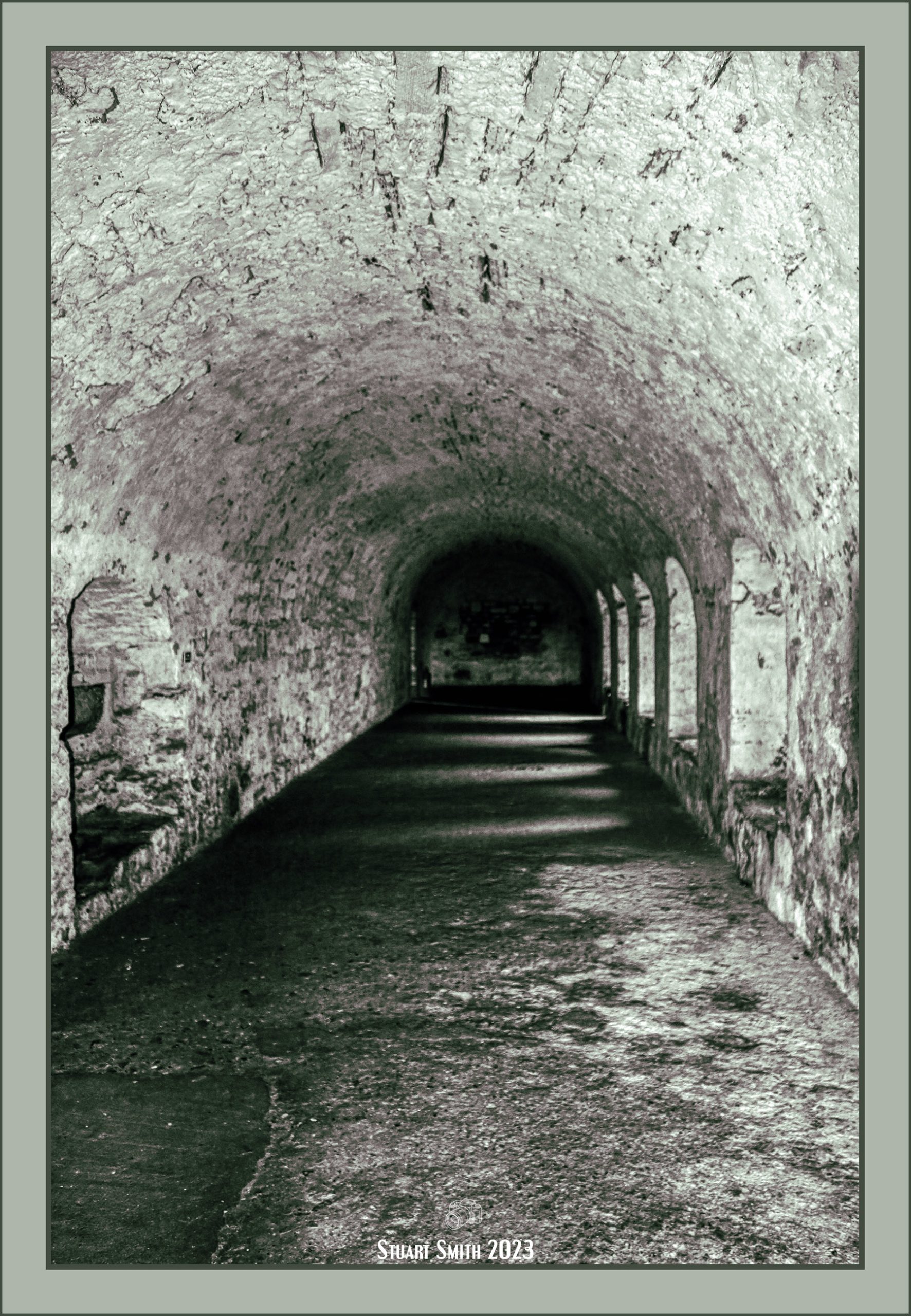
 Tooley’s Boatyard, Oxford Canal, Banbury, Oxfordshire, England UK
Tooley’s Boatyard is a Scheduled Ancient Monument!
Tooley’s was established in 1778 and is the oldest continuous working dry dock in Britain. It was established to build and repair the wooden horse-drawn narrow boats which regularly travelled up and down the newly constructed Oxford Canal network which was completed in 1790 and was vital to the development of the Industrial Revolution in Banbury.
 Narrow Boats, Oxford Canal, Banbury, Oxfordshire, England UK
 “Fine Lady” Statue, South Bar Street, Banbury, Oxfordshire, England UK
 |
 |
 Pepper Alley, High Street, Banbury, Oxfordshire, England UK
 White Lion Walk, High Street, Banbury, Oxfordshire, England UK
 White Lion Shopping Walk, High Street, Banbury, Oxfordshire, England UK
 The Old Wine House, Cnr High Street & Marlborough Road, Banbury, Oxfordshire, England UK
A Grade II Listed building dating to the early 16th century as a house but now utilised as commercial premises.
 The Banbury Cross, South Bar, Banbury, Oxfordshire, England UK
Banbury Cross. 1858 by J. Gibbs of Oxford to comemmorate the marriage of Victoria, Princess Royal, to the Crown Prince of Prussia. Additions made in 1914 include the figures of Queen Victoria, Edward VII and George V. Carved by Boulton and Sons. Limestone. In the style of an Eleanor Cross with niches, statues and small spire. 3 medieval crosses are mentioned in Banbury. There is no evidence that a medieval cross stood in Horse Fair but the site was probably selected for the 1858 cross because the historian Alfred Beesley writing in 1841 considered that it had been the site of the principal cross at Banbury. From medieval times onwards Banbury Cross has assumed significance as a local landmark.
 Heritage Building, Child First Nursery, Horse Fair, Banbury, Oxfordshire, England UK
8 Horsefair, overlooking Banbury Cross. This historic building, originally built for Banbury’s Poor Law Guardians and is dated 1900. It was once home to the Banbury Museum until 1999.
The street name “Horse Fair” probably dates from the 16th century when there was a leather market, a horse market, a sheep market, a cattle market, a swine market, a leather market, a corn market and a flax market. There were also specialized annual fairs in Banbury. There was a leather fair, a horse fair, a cow fair, a fish fair, a cheese fair and a wool fair. Banbury cakes were first mentioned in 1586.
 Solicitors Offices, South Bar Street, Banbury, Oxfordshire, England UK
On a previous visit in 2016, this was a private residence up for sale.
 The Old Vicarage, Horse Fair, Banbury, Oxfordshire, England UK
Dates to 1649, is Grade II Listed and built for Samuel Wells the Vicar of Banbury.
 Whately Hall Hotel, Horse Fair, Banbury, Oxfordshire, England UK
A Grade II Listed building dated 1652
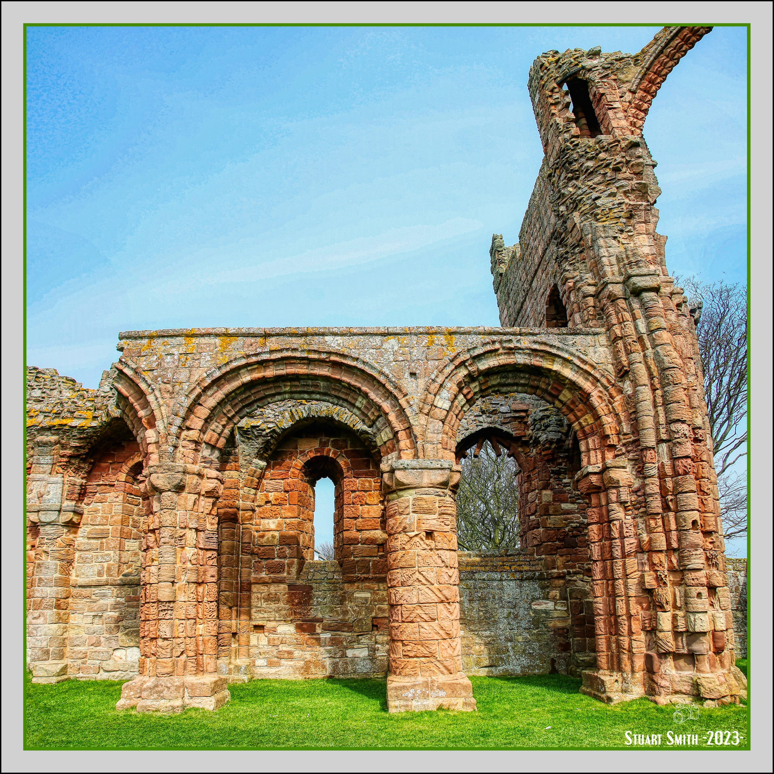
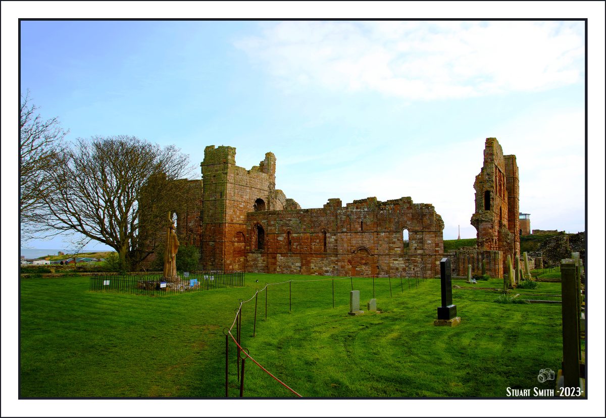
 St Mary’s Church, Horse Fair, Banbury, Oxfordshire, England UK
St Mary’s Church was built in the 1790s to replace the Medieval one damaged during the English Civil War. It is Banbury’s only Grade I listed building and its most conspicuous landmark .
 The Church House, Horse Fair, Banbury, Oxfordshire, England UK
Grade II Listed building dated 1905 now in use as a Bar, Restaurant, Café.
 Thai Orchid Restaurant, North Bar Street, Banbury, Oxfordshire, England UK
 White Horse, North Bar Street, Banbury, Oxfordshire, England UK
 The Coach & Horses, Butcher’s Row, Banbury, Oxfordshire, England UK
 Bust of William Shakespeare, Sheila’s Sweets, Parson’s Street, Banbury, Oxfordshire, England UK
 Flowers, Caffè Nero, High Street, Banbury, Oxfordshire, England UK
 |
 |
 |
 |
 Banksy Tribute Mural, Butcher’s Row, Banbury, Oxfordshire, England UK
 The Bell, Park Street, Stow on the Wold, Gloucestershire, England UK
 Residential, Maugersbury Road, Stow on the Wold, Gloucestershire, England UK
 Park Street, Stow on the Wold, loucestershire, England UK
 Dining Room, The Salutation Inn, The Gibb, Castle Combe, Wiltshire, England UK

 The Lamb & Lion, Lower Borough Walls, Bath, Somerset, England UK
 Ghost Sign, Lulu Caffe, Hot Bath Street, Bath, Somerset, England UK
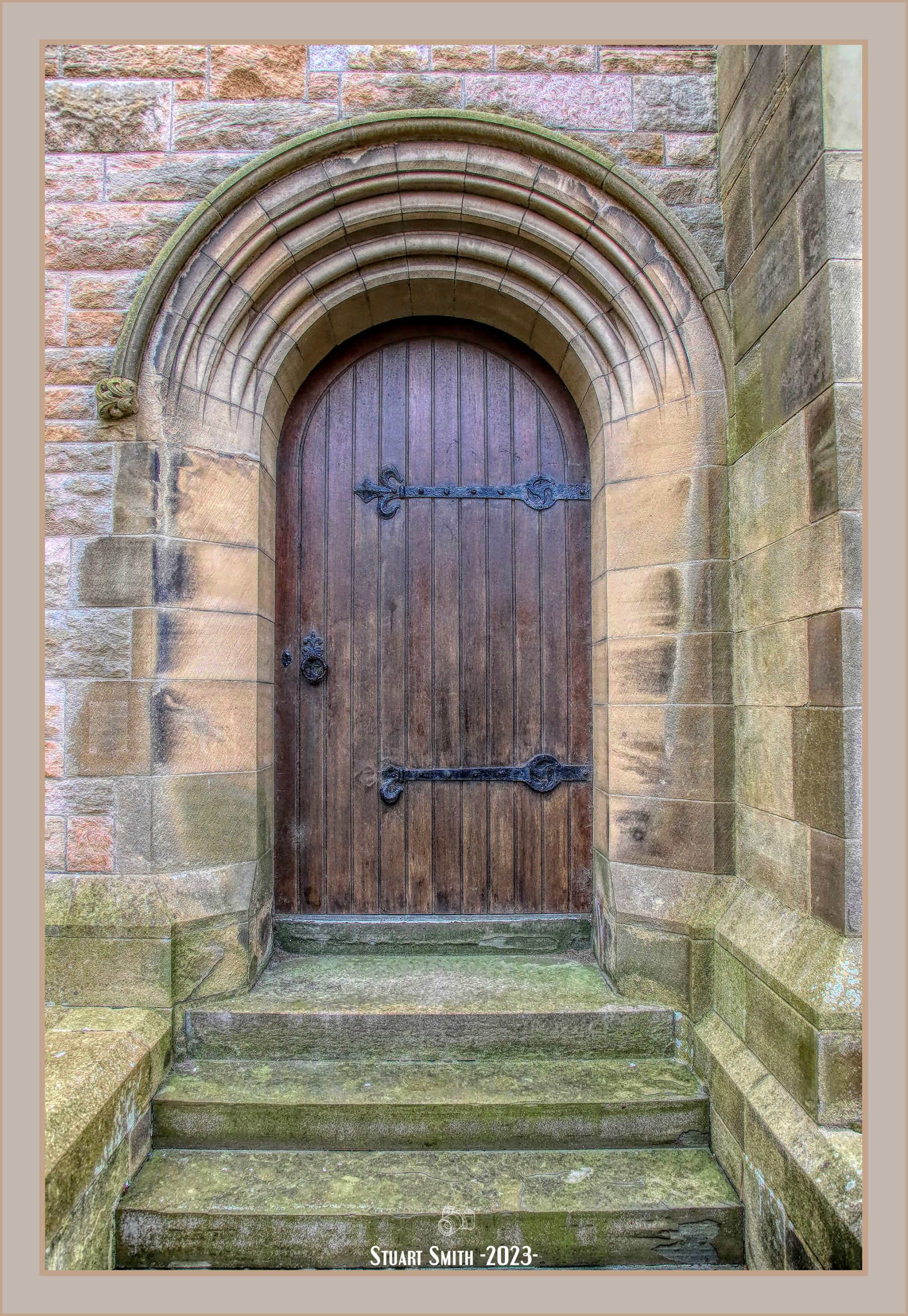
 Door, Holy Trinity Church, Cnr Chapel Row & Monmouth Place, Bath, Somerset, England UK

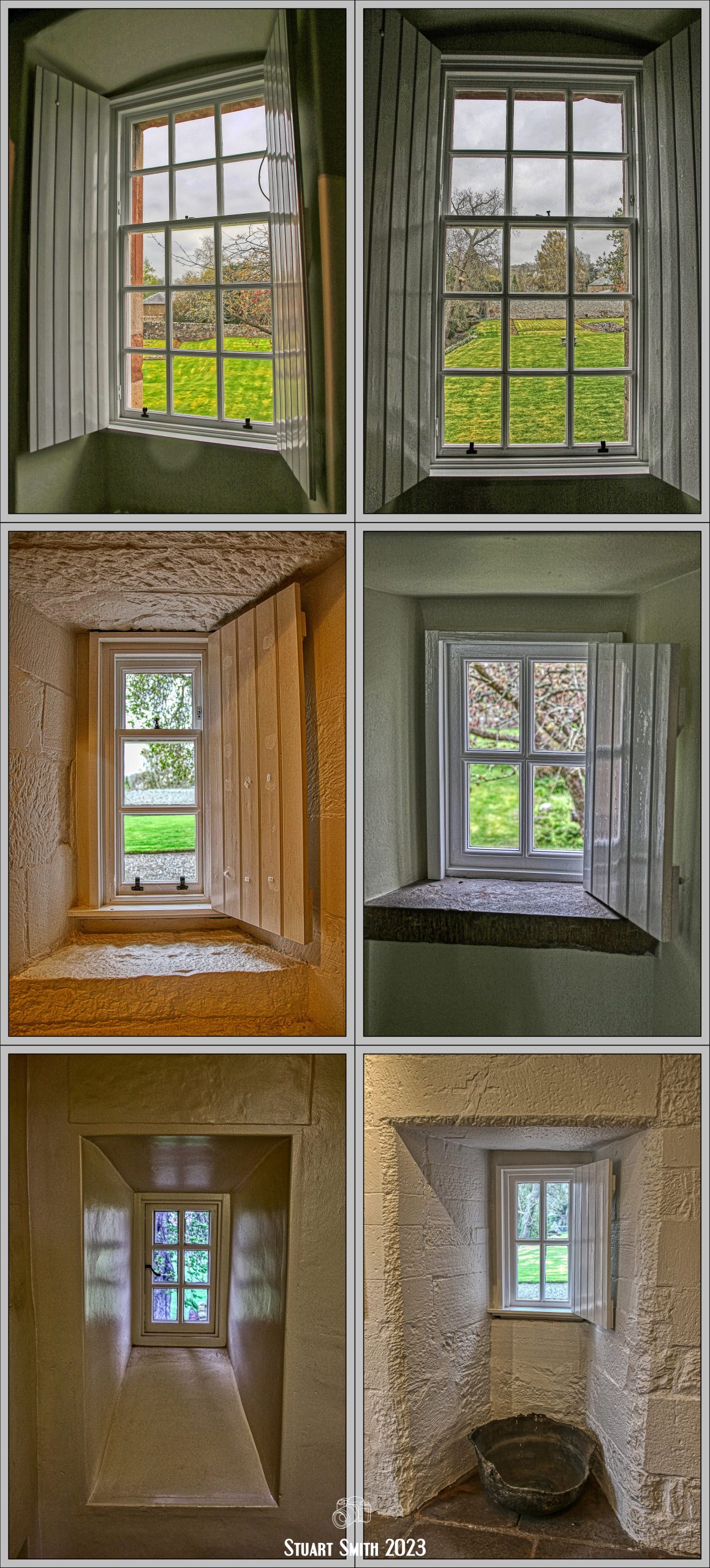
 Views from our Window at The Black Fox, St James’s Parade, Bath, Somerset, England UK
 The Bar, The Crown Hotel, Cnr High & Church Streets, Alton, East Hampshire, England UK
 White Knight on White Horse, High Street, Guildford, Surrey, England UK
 Aston Martin Dealership, New Zealand Avenue, Walton-on-Thames, Surrey, England UK
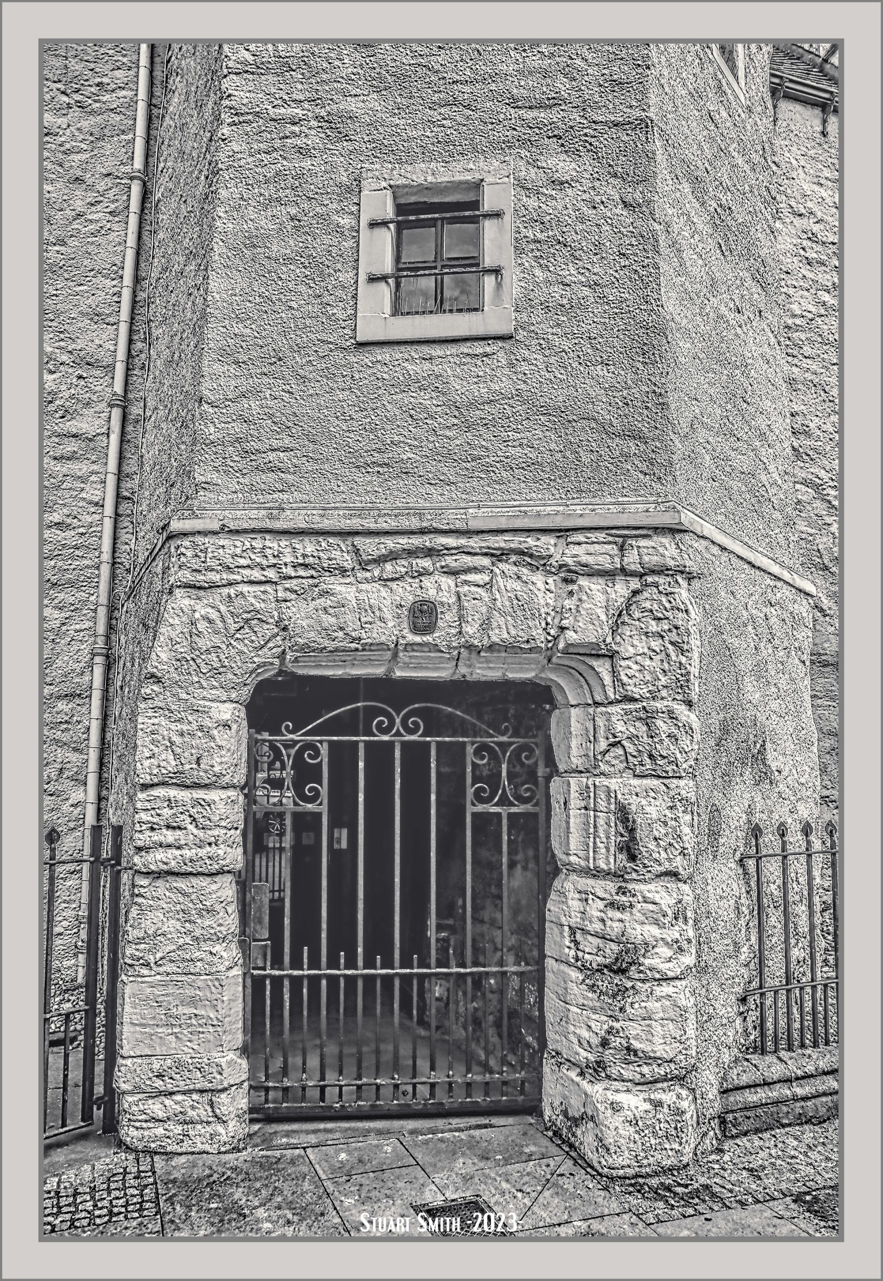
 Gate & Door, 258 High Street, Guildford, Surrey, England UK
 “Hadleigh Gate”, High Street, Guildford, Surrey, England UK
 Old Building, High Street, Guildford, Surrey, England UK
 “GR” Mailbox, High Street, Guildford, Surrey, England UK
 A Few Drinks Along The Way
 |
 |
 |
 |
 |
 Pub Signs Along the Way
 |
 |
 |
 |
 |
 |
 |
 |
 Our Hired Car – Vauxhall Grandland


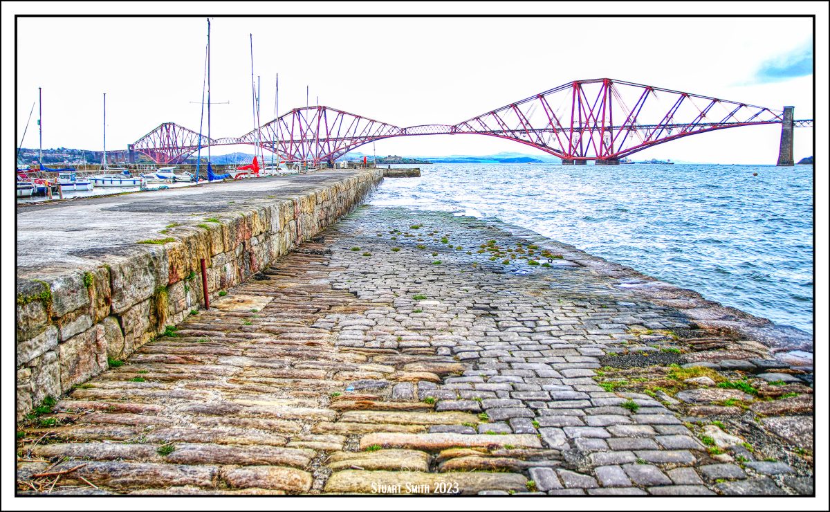


 Interior scenes of Hawes Inn, Newhalls Road, South Queensferry, West Lothian, Scotland UK
 “Weihenstephan”, Orocco Pier Hotel, High Street, South Queensferry, West Lothian, Scotland UK


 Trinity Church, Cnr Newcastle & Oxnam Roads, Jedburgh, Roxburghshire, Scotland UK