We say good-bye to Hebden Bridge and make our way to another Bridge – Haydon Bridge via a couple of interesting Market Towns, Kettlewell, Hawes & Kirkby Stephen. A few interesting sights/sites along the way.
As always, click on an image to open it in a new tab/window.

 Worth Valley, West Yorkshire, England UK
 Kettlewell Village, Upper Wharfdale, North Yorkshire, England UK
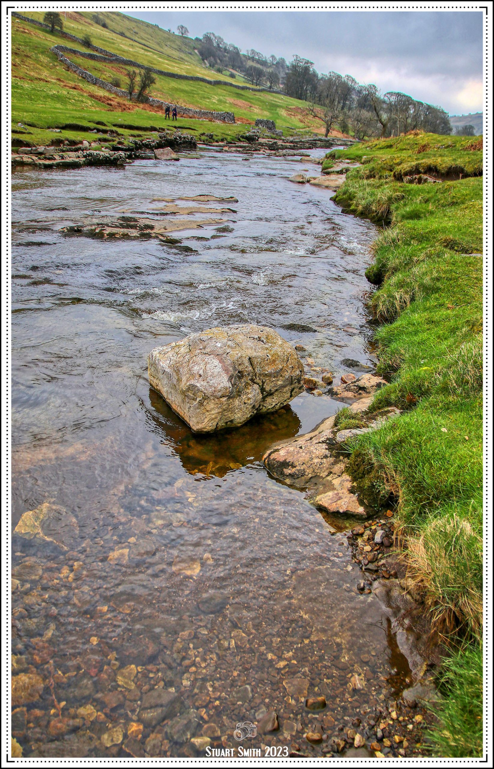
 River Wharfe, Kettlewell, North Yorkshire, England UK
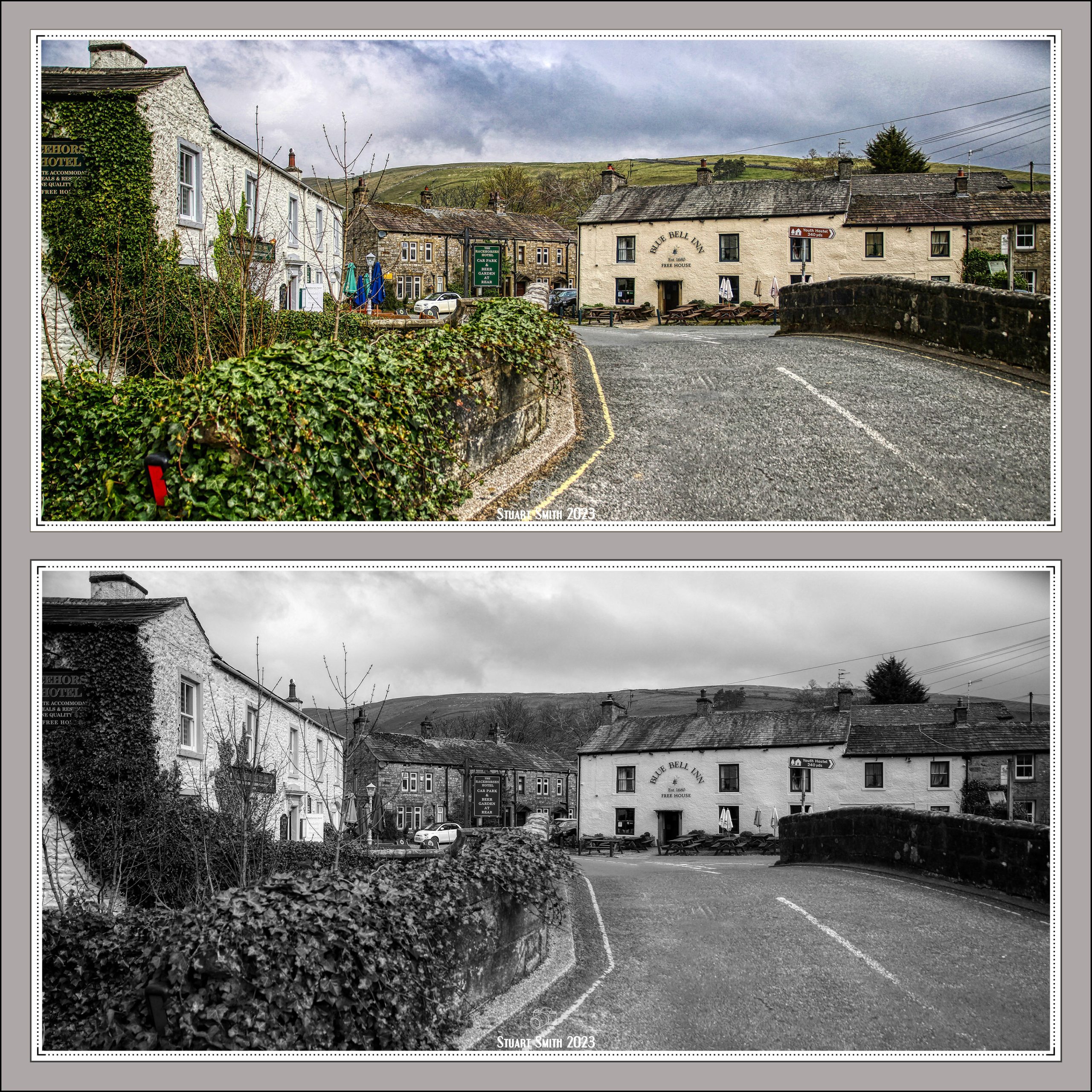 Racehorse Hotel & Blue Bell Inn, Middle Lane, Kettlewell, North Yorkshire, England UK
Colour Image <<<<<>>>>>Black & White Image
 Kettlewell Beck, Kettlewell, North Yorkshire, England UK
Co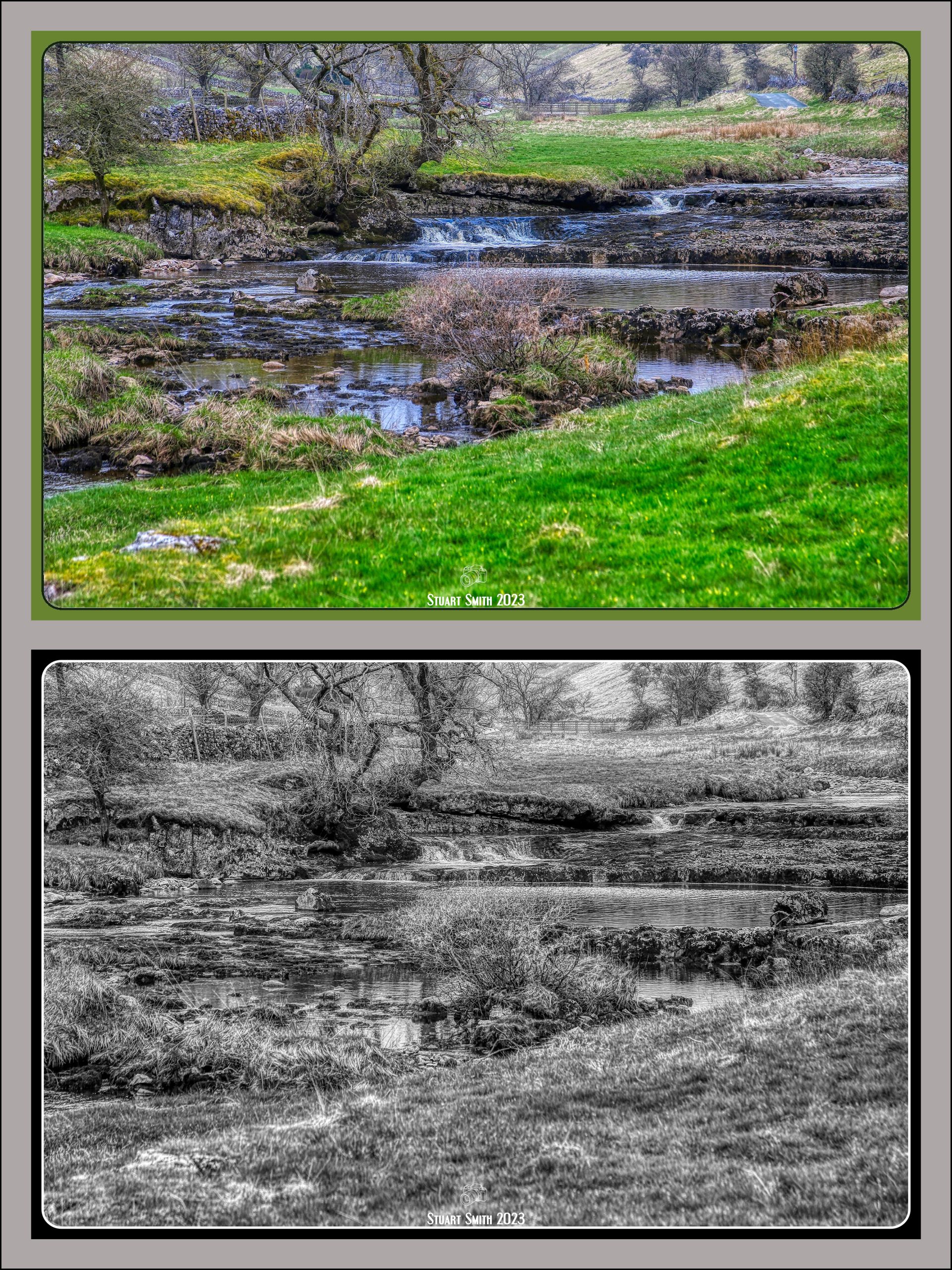 Colour Image <<<<<>>>>>Black & White Image


 River Wharfe, Deepdale, Yorkshire Dales National Park, North Yorkshire, England UK
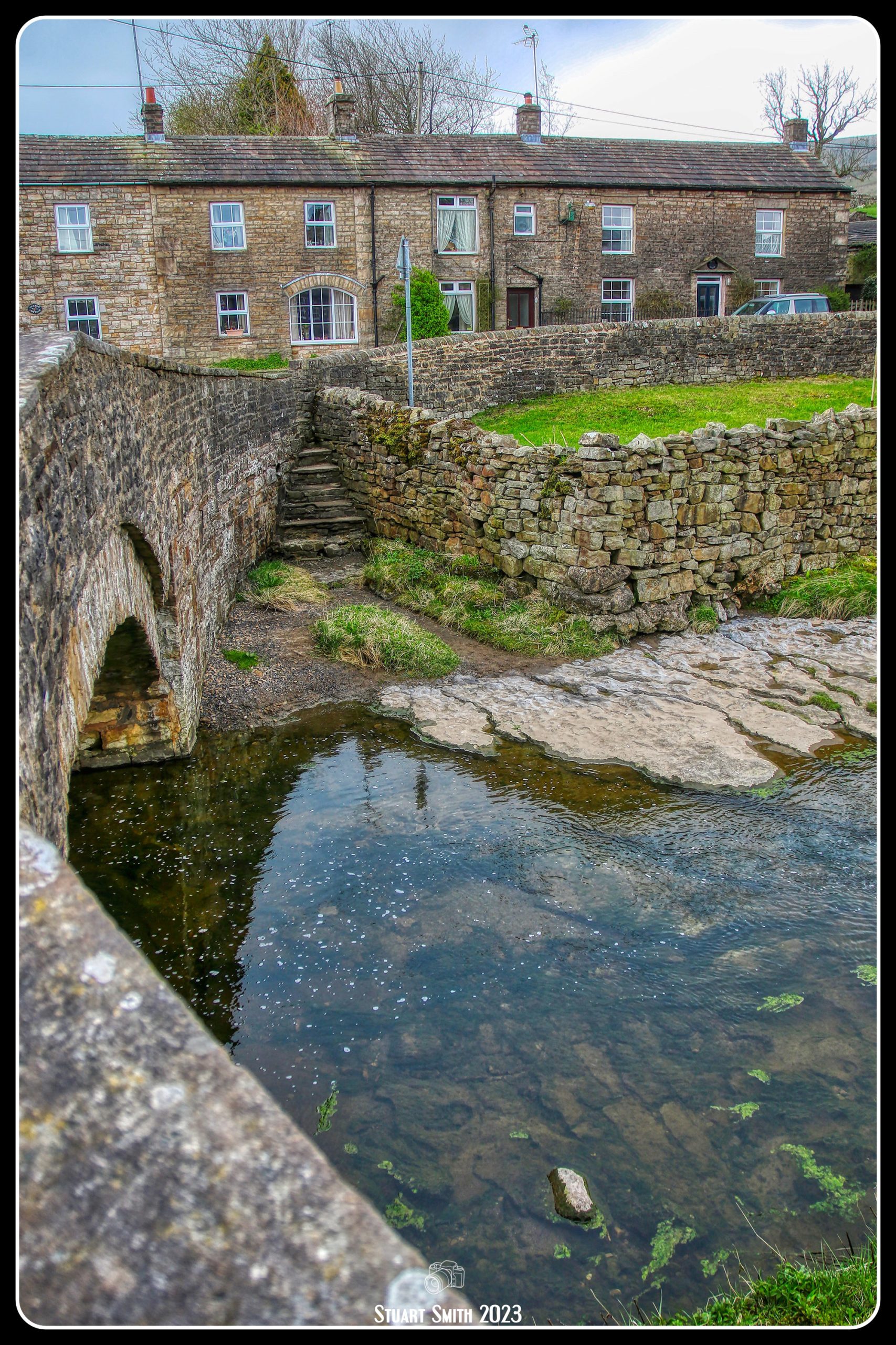
 Bridge over Gayle Beck, Hawes, North Yorkshire, England UK
The bridge is a Grade II Listed Building

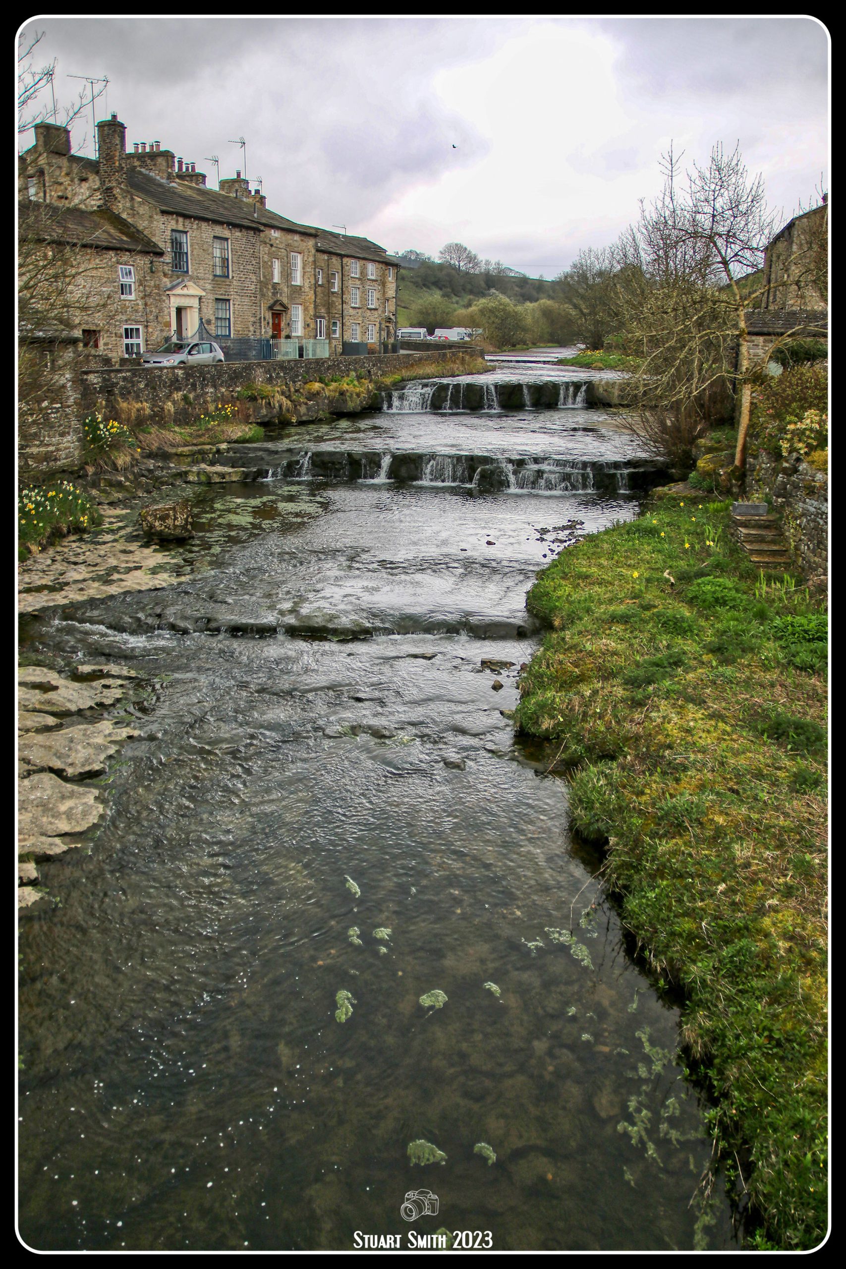 Cascades, Gayle Beck, Hawes, North Yorkshire, England UK
 Old Town Signs, Gayle Lane, Hawes, North Yorkshire, England UK

 Waterfalls, Aisgill, Mallerstang, Cumbria, England UK
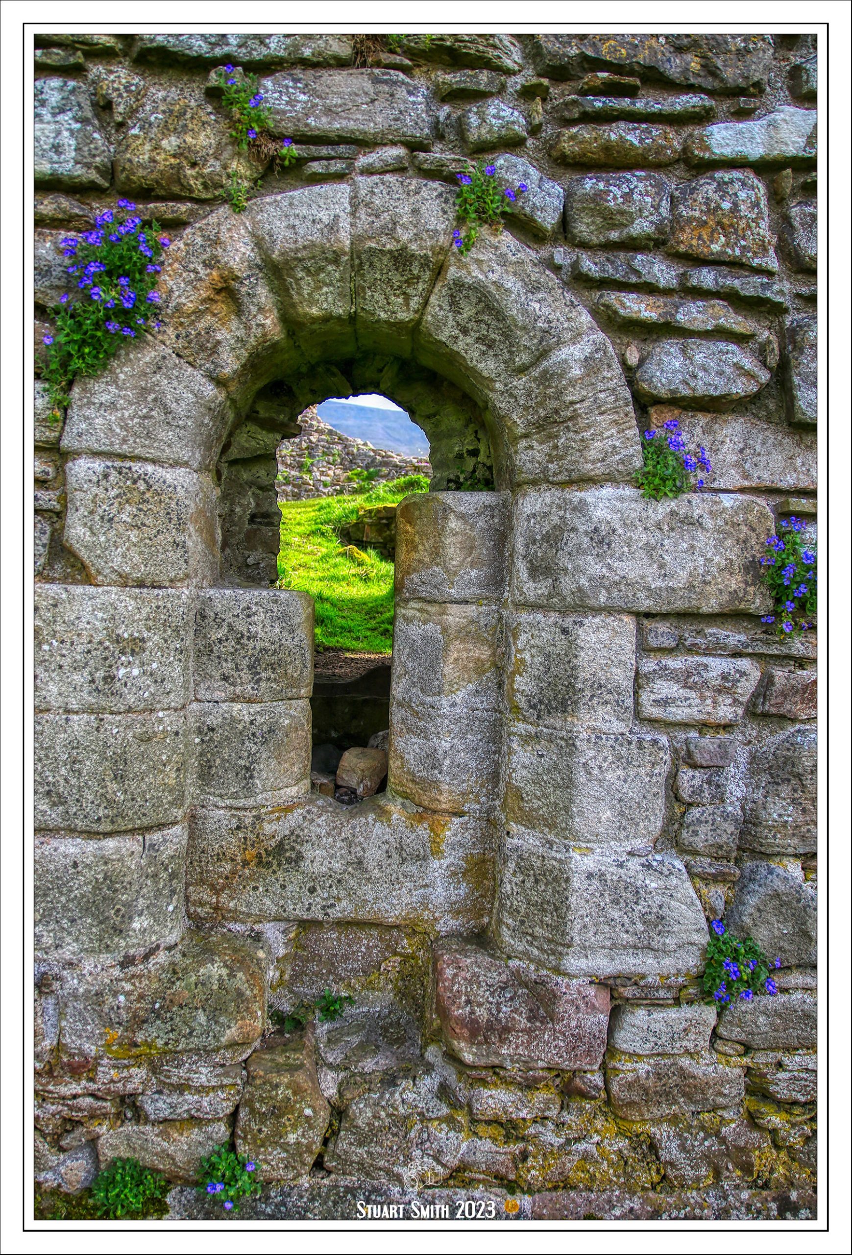
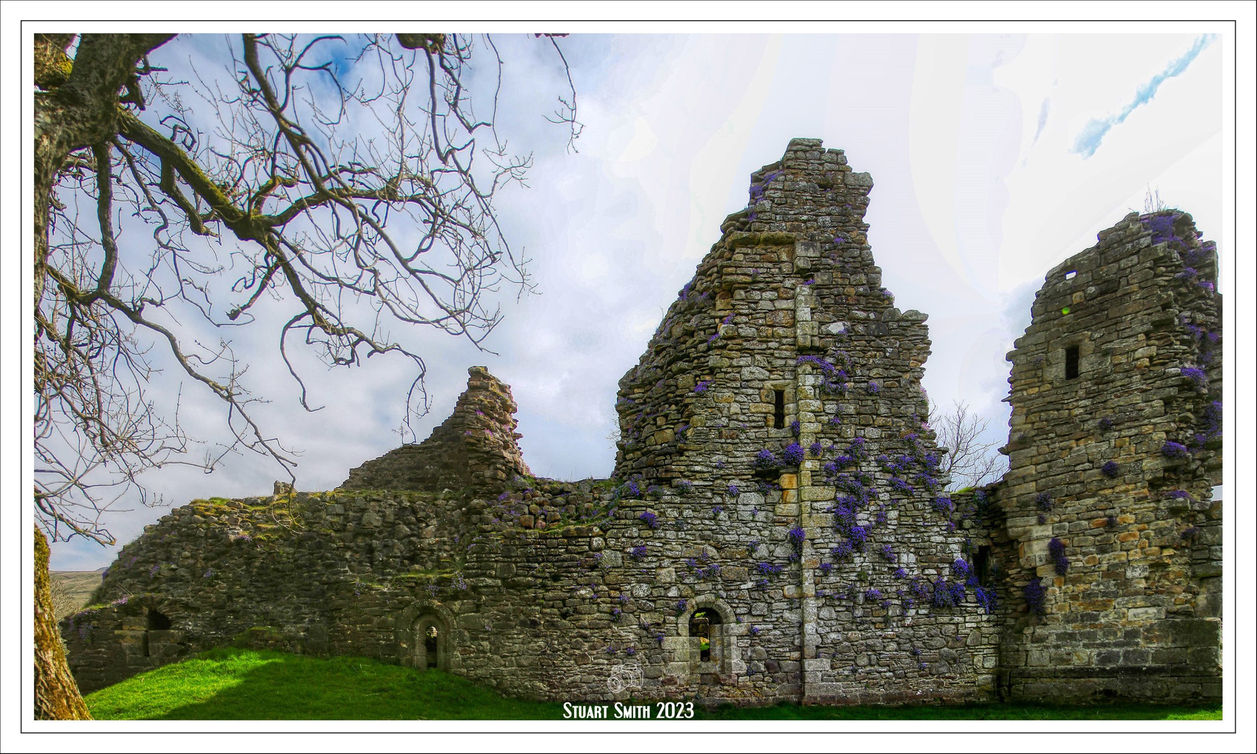
 This creeper is growing all over the ruins.


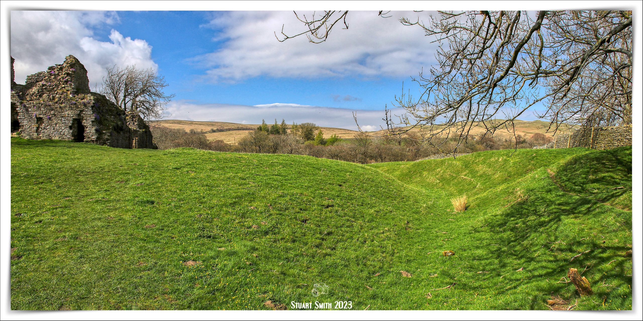
 A bit of maintenance to strengthen the foundation.

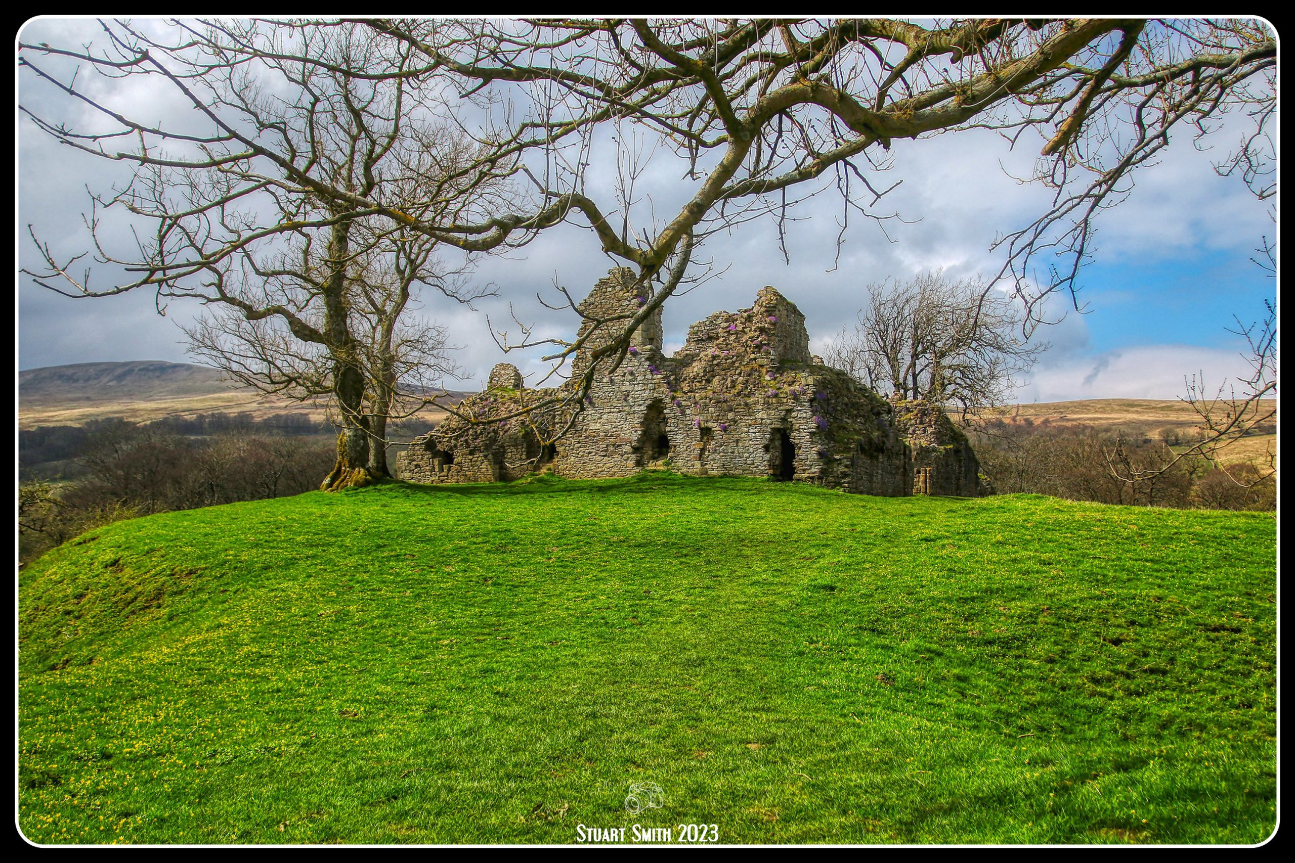
 Pendragon Castle, Mallerstang Dale, Kirkby Stephen, Cumbria, England UK
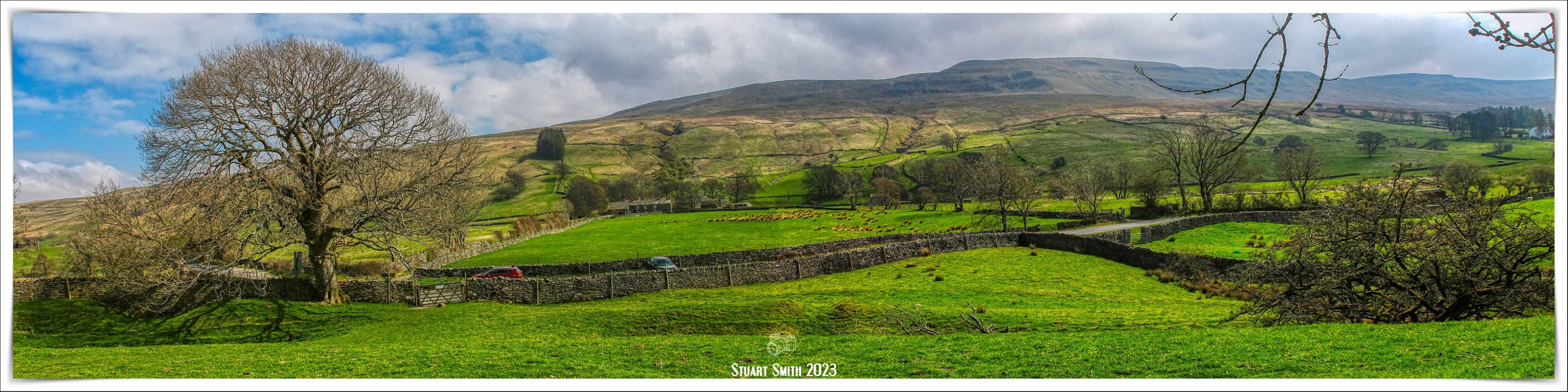 Black Hill from Pendragon Castle, Mallerstang Dale, Kirkby Stephen, Cumbria, England UK