The final images from Tarragona and the last of our stay in Spain. Next stop – UK!

Entrance, Marriott Hotel, Avinguda de Roma, Tarragona, Catalonia, Spain

Street View, Avinguda de Roma, Tarragona, Catalonia, Spain


 Torre de les Monges, Rambla Vella, Tarragona, Catalonia, Spain
a.k.a. Tower of The Monks

Steps below Torre de les Monges, Rambla Vella, Tarragona, Catalonia, Spain
 Mural, Circ Romà, Rambla Vella, Tarragona, Catalonia, Spain
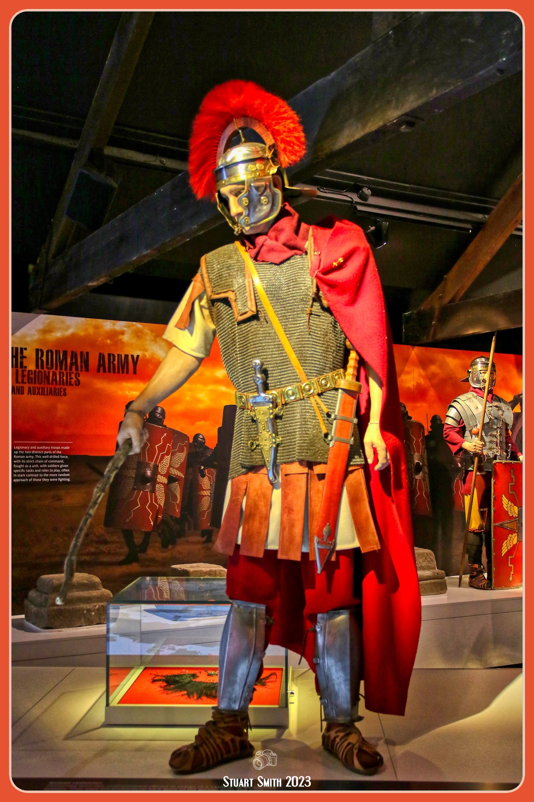
The Circ Romà is where horse and chariot races were held. It had capacity for 20,000 people. It was built during the reign of Emperor Domitian (81–96 AD) and remained in operation until the 9th century AD. Today it is classified as a World Heritge Site.


Ruins, Circ Romà, Rambla Vella, Tarragona, Catalonia, Spain


Sculpture in the Wall, Circ Romà, Rambla Vella, Tarragona, Catalonia, Spain


Tunnels, Circ Romà, Rambla Vella, Tarragona, Catalonia, Spain


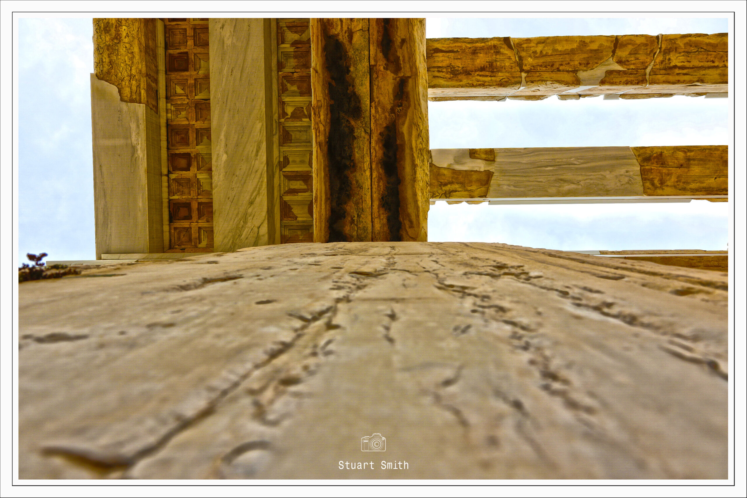
Torre del Pretori, Castell del Rei, Tarragona, Catalonia, Spain
a.k.a. – Castle of The King. The Romanesque castle was largely the result of the rehabilitation of a large Roman building that had been part of the provincial forum in the 12th century.

Bricked In, Parròquia de la Santíssima Trinitat, Carrer de Santa Anna, Tarragona, Catalonia, Spain

Doorway, Museu Nacional Arqueològic, Plaza del Rei, Tarragona, Catalonia, Spain

View to Plaza del Rei from Torre del Pretori o Castell del Rei, Tarragona, Catalonia, Spain

Catedral Basílica Metropolitana i Primada de Santa Tecla de Tarragona, Plaza de la Seu, Tarragona, Catalonia, Spain

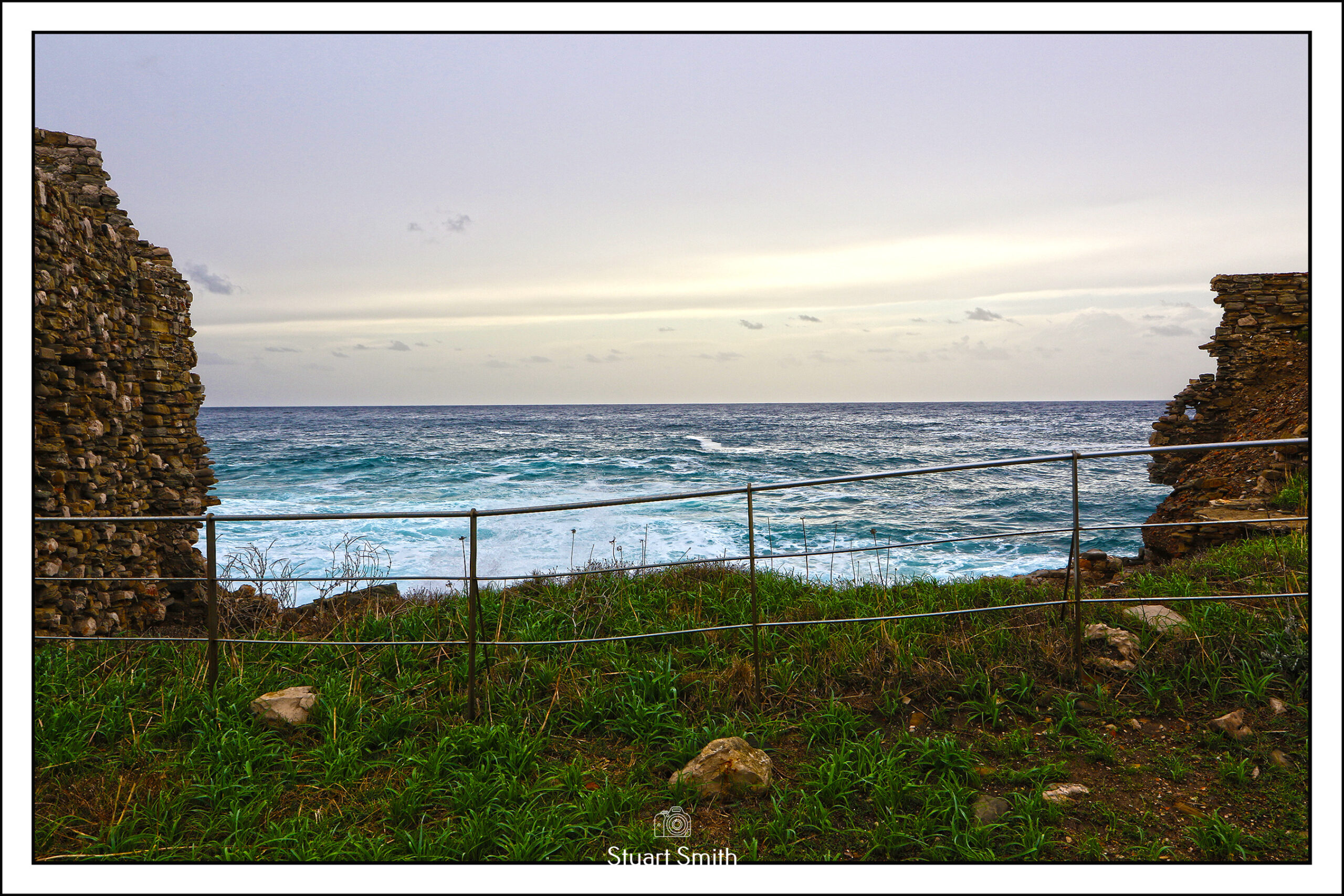
 View to Coast, Torre del Pretori, Passeig Saint Antoni, Tarragona, Catalonia, Spain


Amfiteatre de Tarragona, Carrer de William J Bryan, Tarragona, Catalonia, Spain
The 2nd image was photographed from the top of The King’s Castle, a building traditionally known as the Roman pretories of Augustus or Pilate Tower. The amphitheatre is a World Heritage site constructed in the 2nd century. It could hold up to 15,000 spectators for Roman events.

Plaque, Subdelegación de Defensa en Tarragona, Rambla Vella, Tarragona, Catalonia, Spain
Department of Defense

Monument a Jacint Verdaguer, Plaça de Mossèn Cinto Verdaguer, Tarragona, Catalonia, Spain
 Casa de la Punxa, Rambla Nova, Tarragona, Catalonia, Spain c.1940
 Parc de la Ciutat, Avinguda de Roma, Tarragona, Catalonia, Spain
 Parking is at a Premium, Carrer d’August, Tarragona, Catalonia, Spain


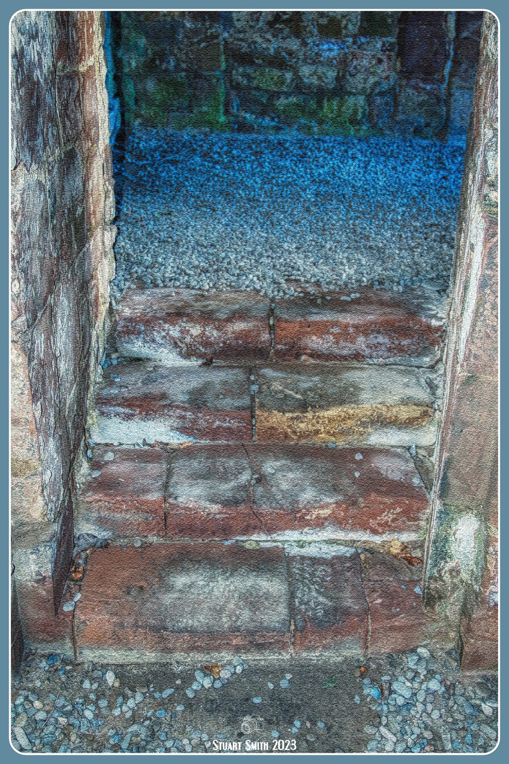
 The Ruin of the Gateway Entrance to the site.
 Church of St Mary Magdalene, Lanercost, Brampton, Cumbria, England UK
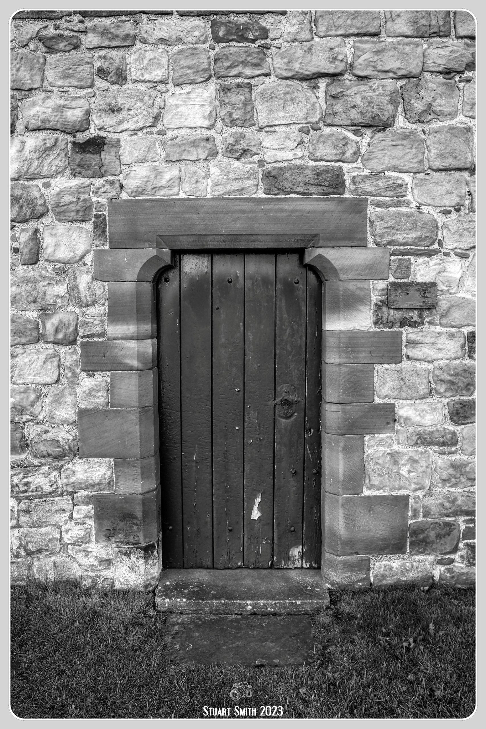
 Side Door of Church of St Mary Magdalene, Lanercost, Brampton, Cumbria, England UK
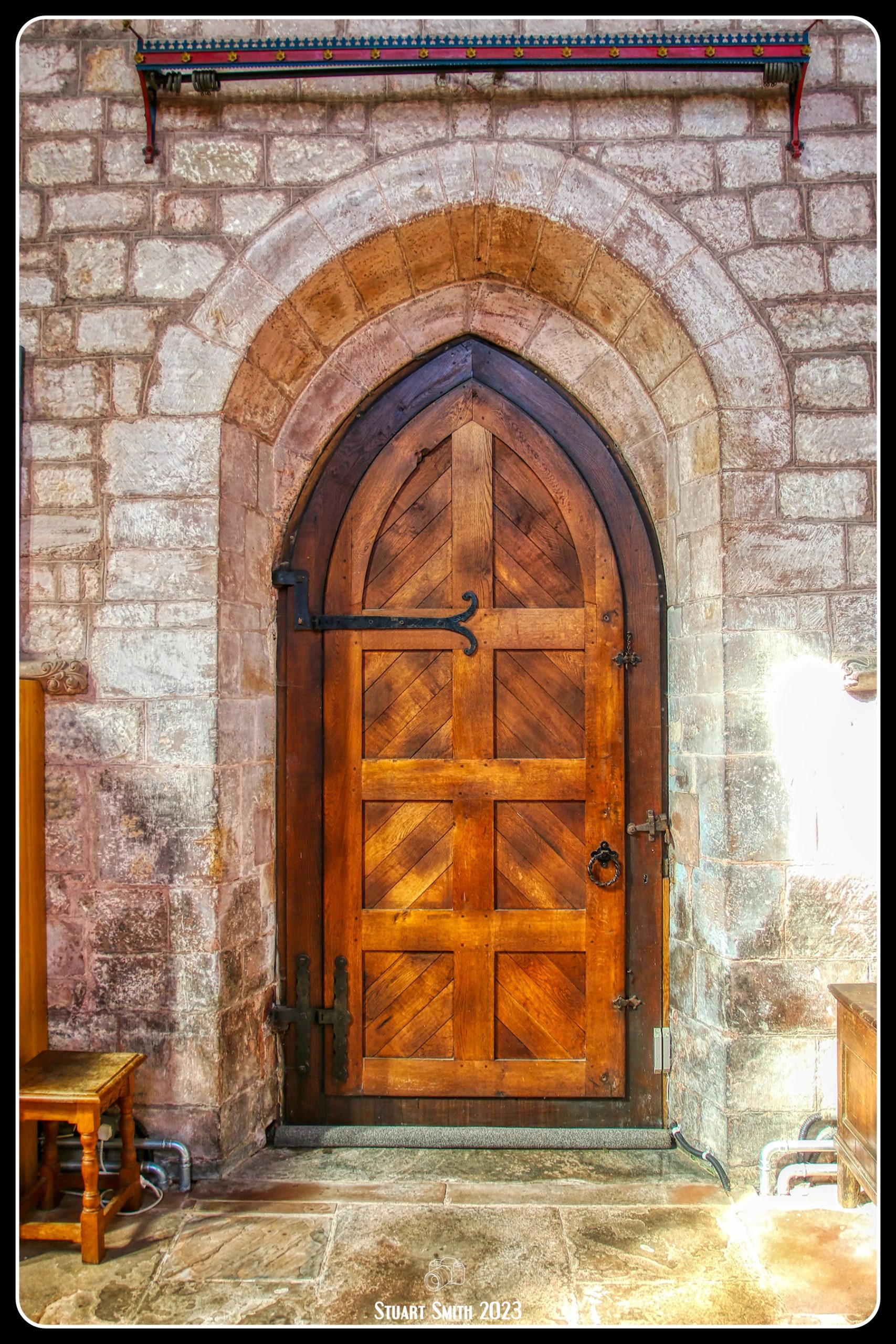

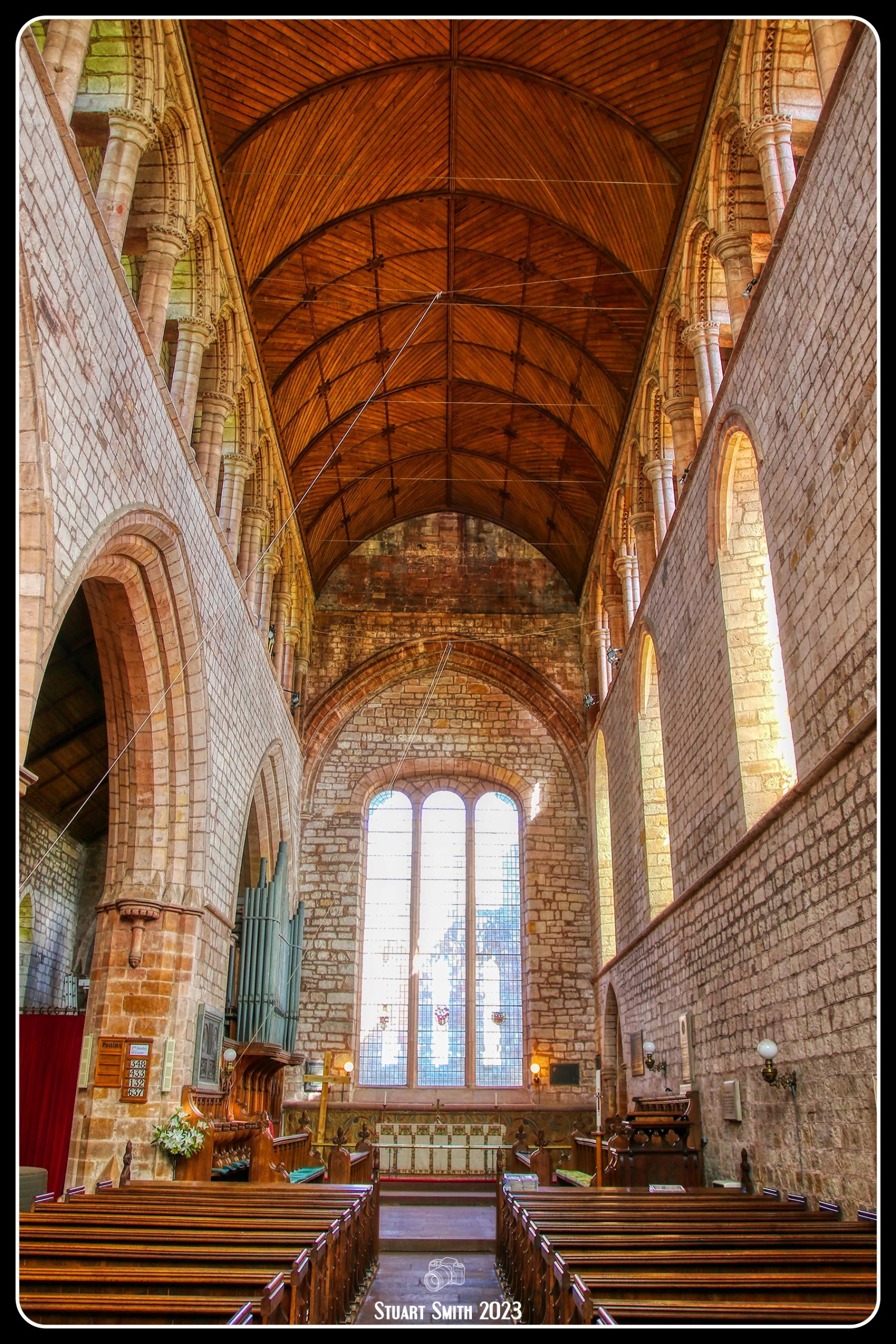
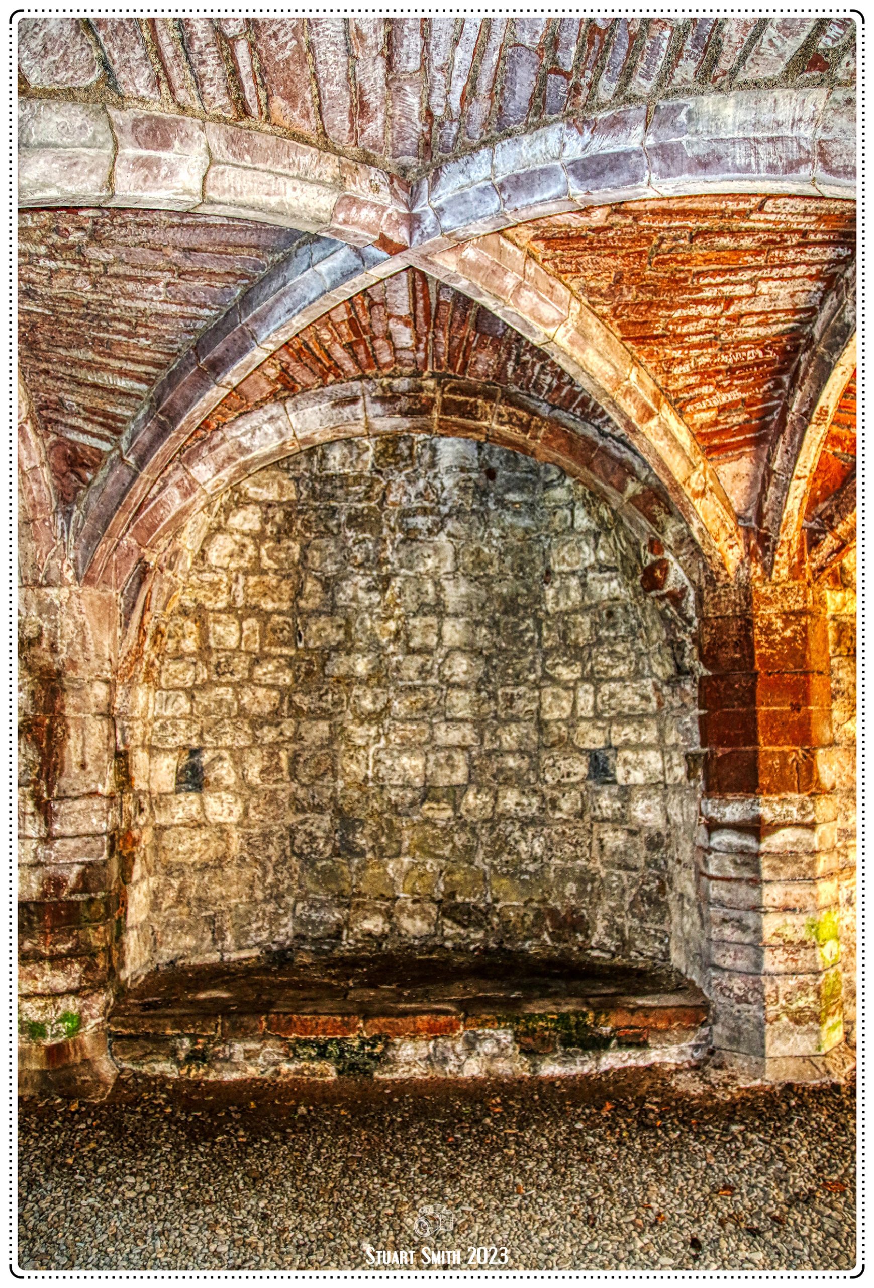
 Interior, Church of St Mary Magdalene, Lanercost, Brampton, Cumbria, England UK
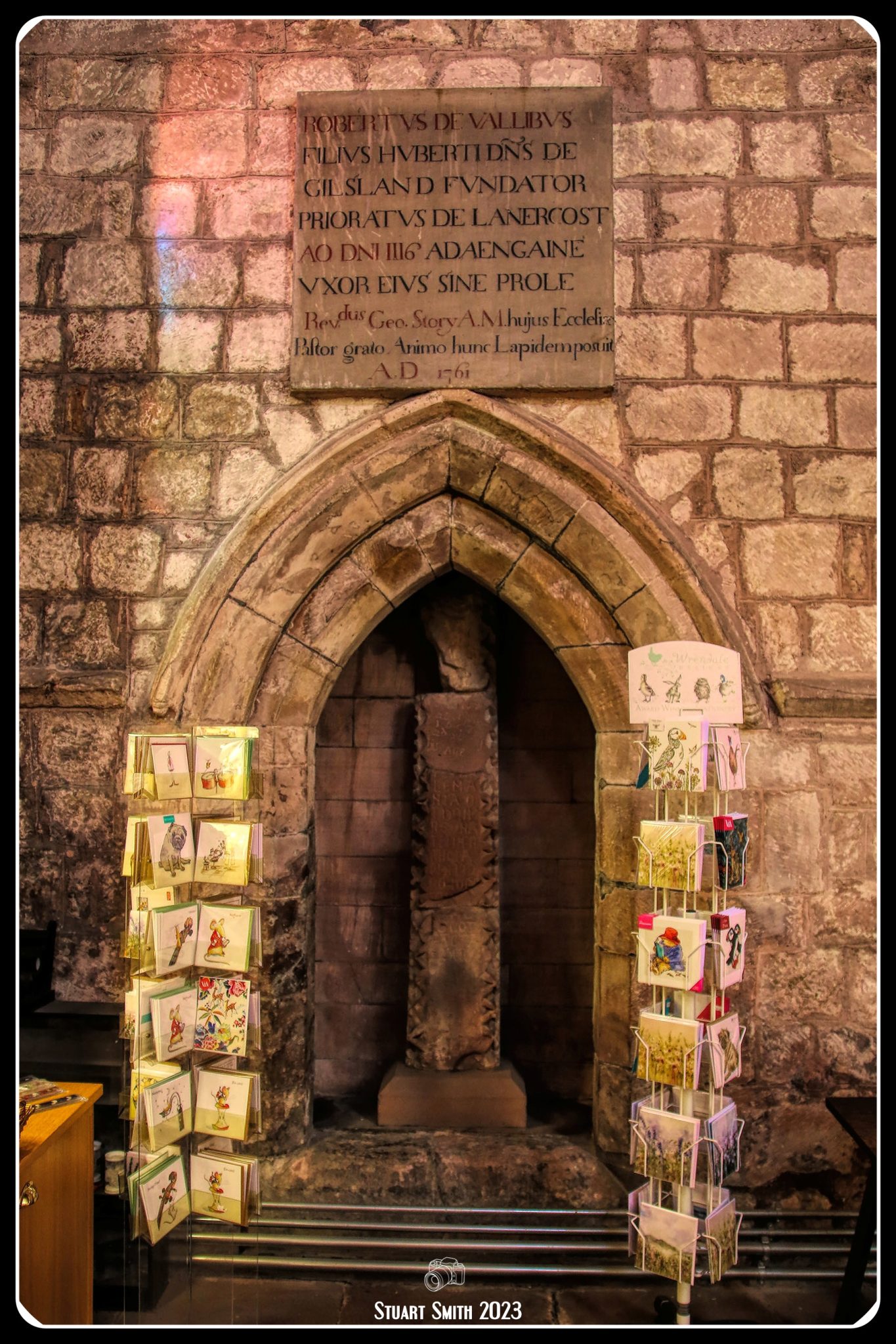
 Memorial Plaques
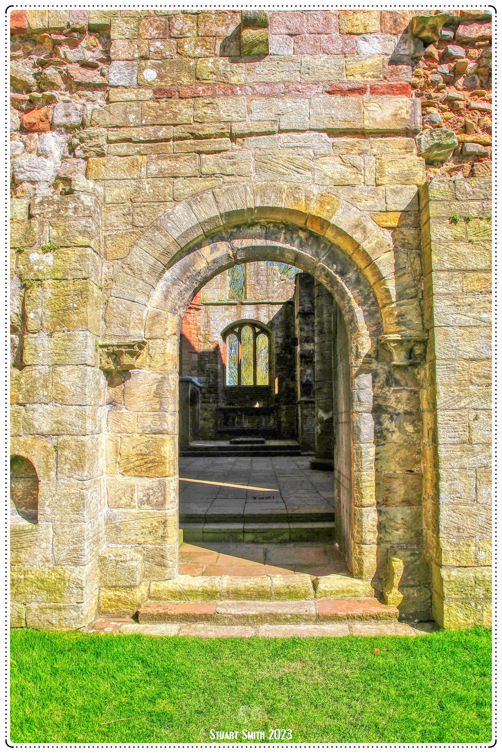
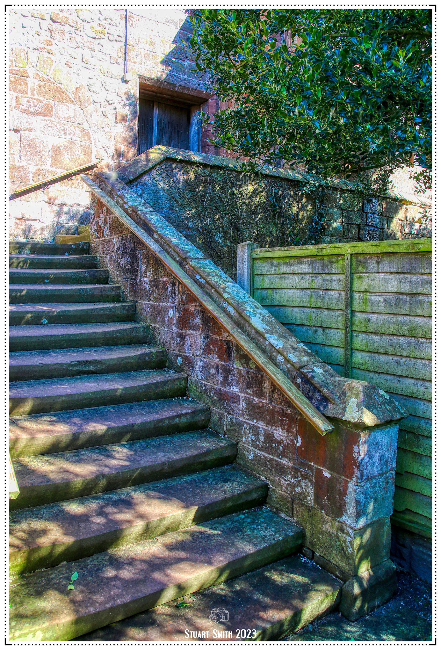
 Access Door to Lanercost Priory Ruins, Lanercost, Brampton, Cumbria, England UK
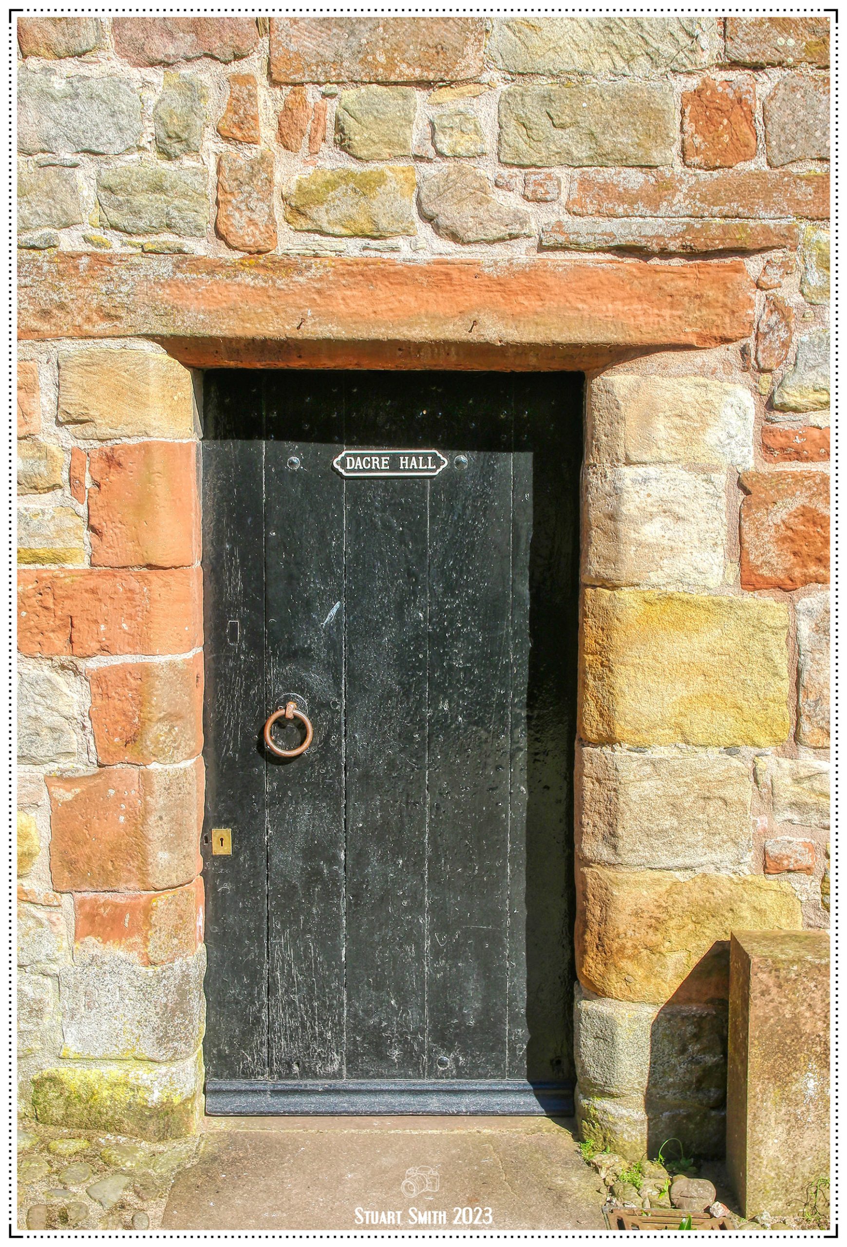 Doorway to Dacre Hall, Lanercost Priory Ruins, Lanercost, Brampton, Cumbria, England UK
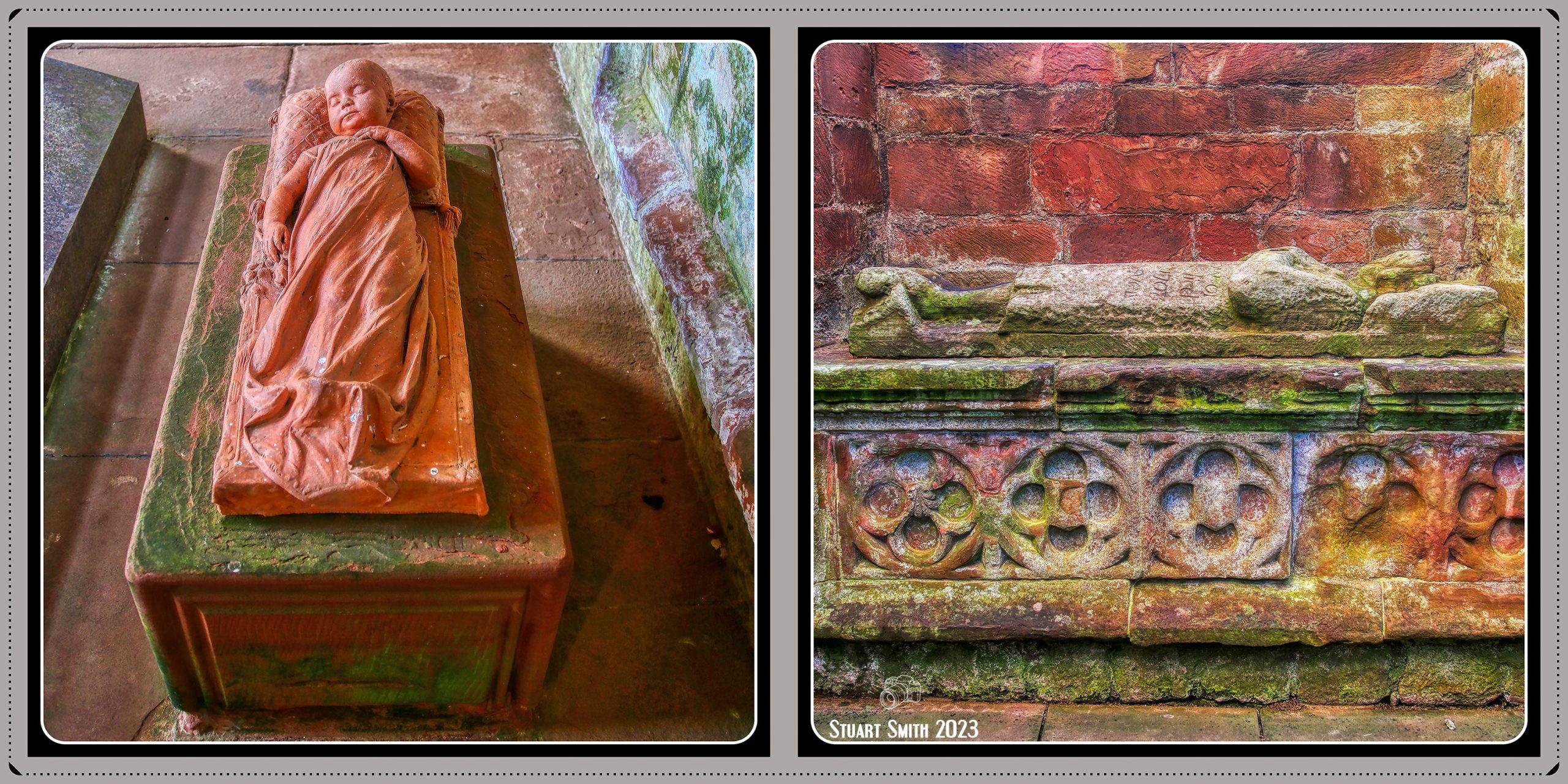 Tombs, Lanercost Priory Ruins, Lanercost, Brampton, Cumbria, England UK
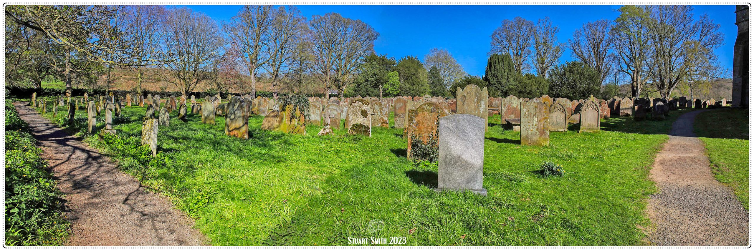 Cemetery, Lanercost Priory Ruins, Lanercost, Brampton, Cumbria, England UK
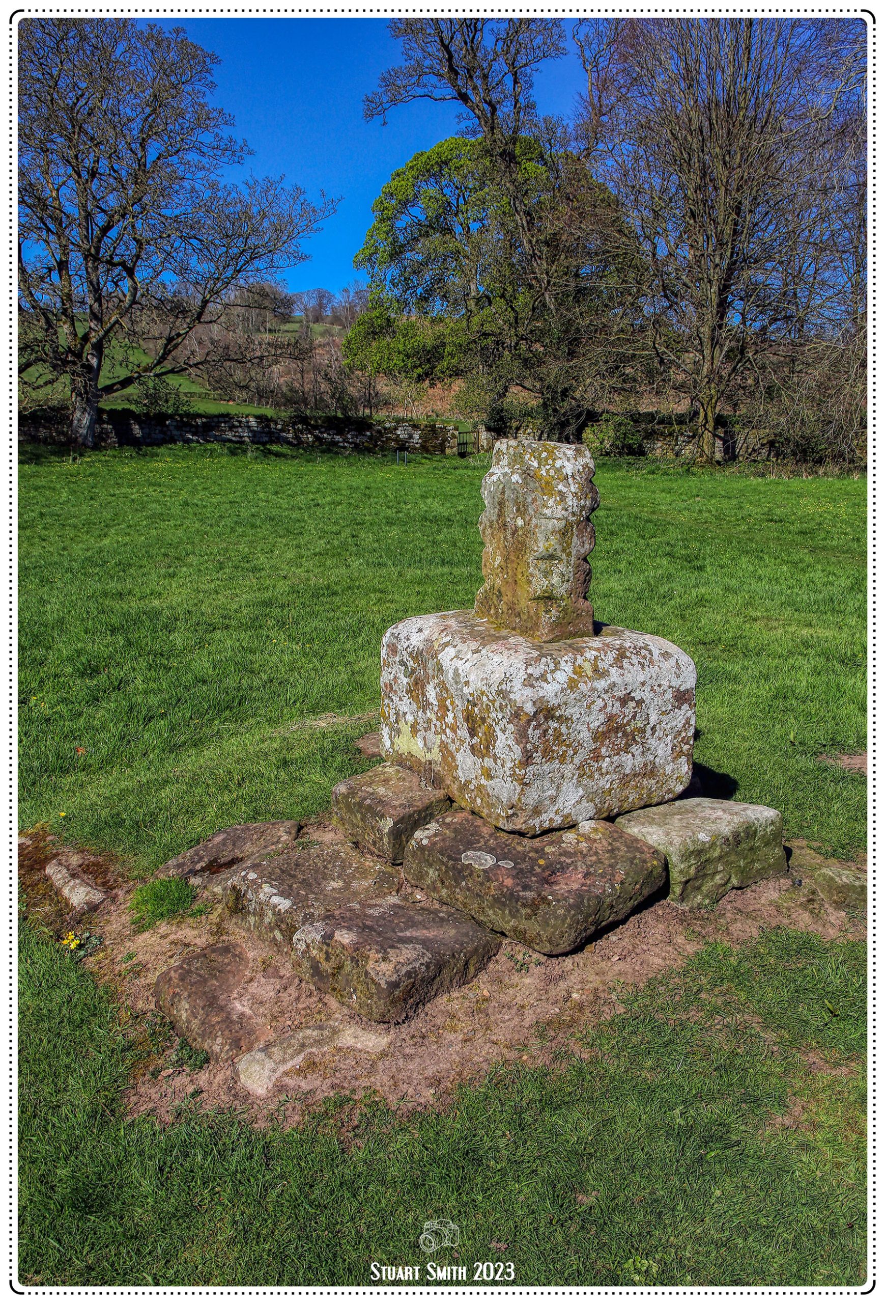
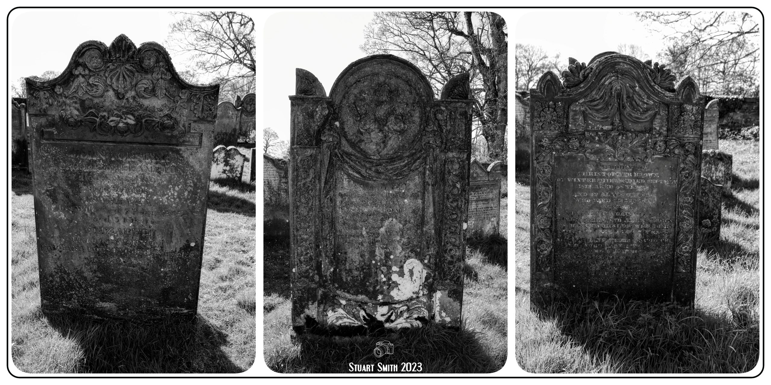 Grave Stones, Lanercost Priory Cemetery, Lanercost, Brampton, Cumbria, England UK
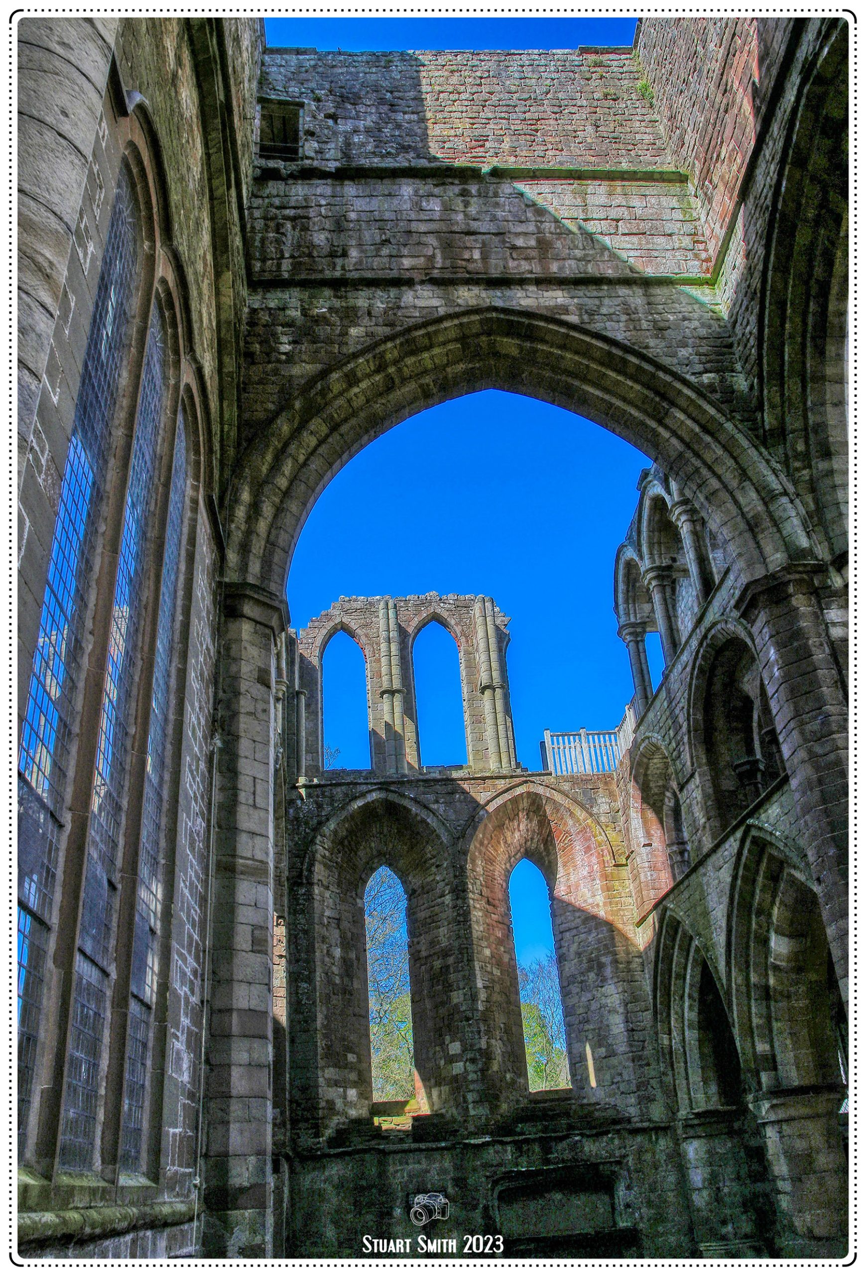
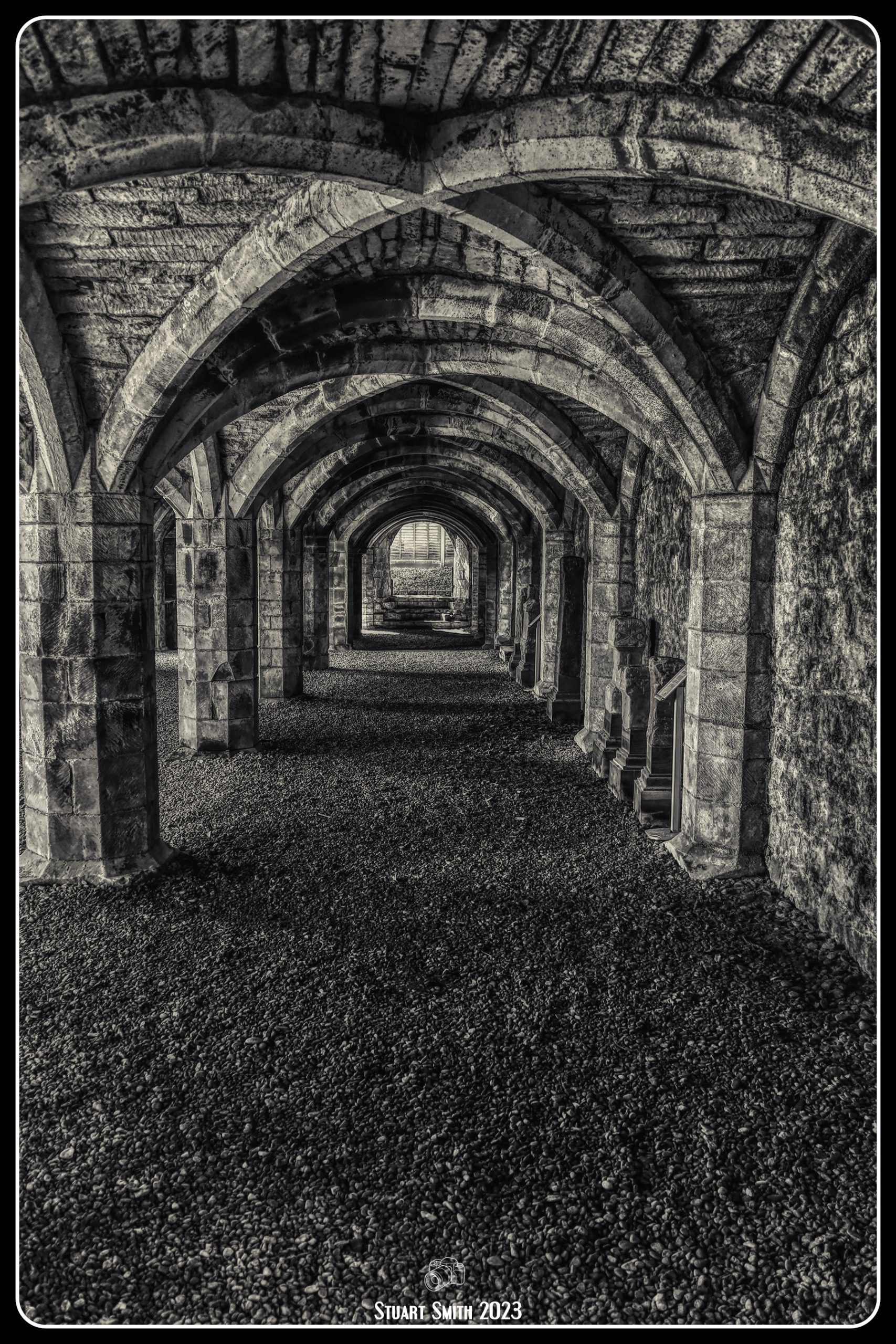


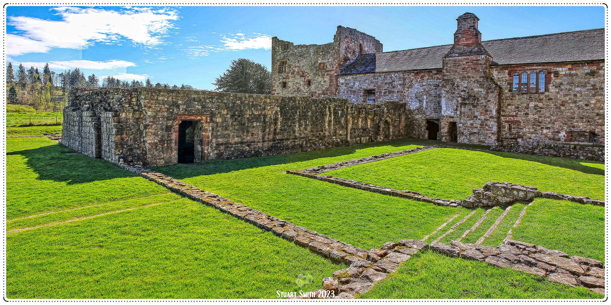


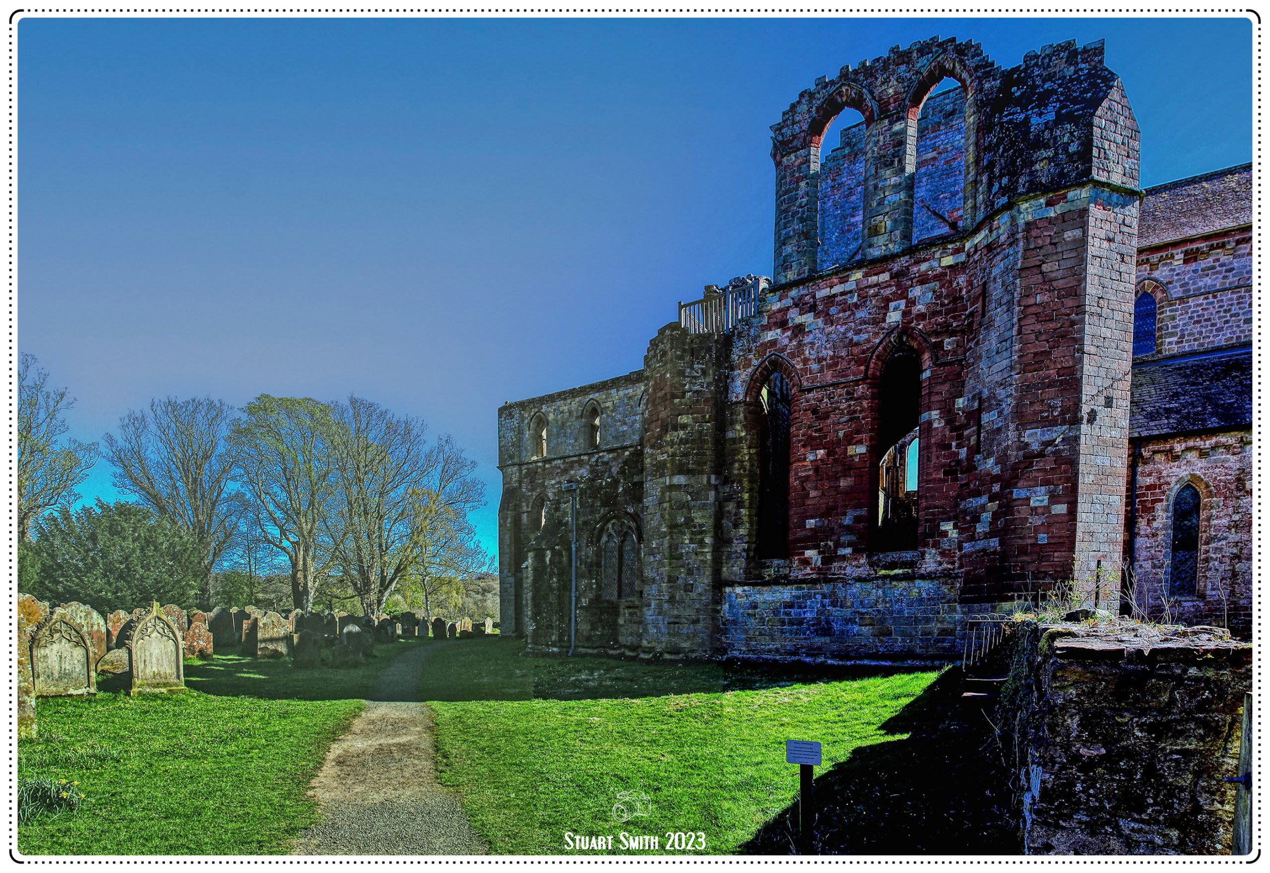
 Lanercost Priory Ruins, Lanercost, Brampton, Cumbria, England UK