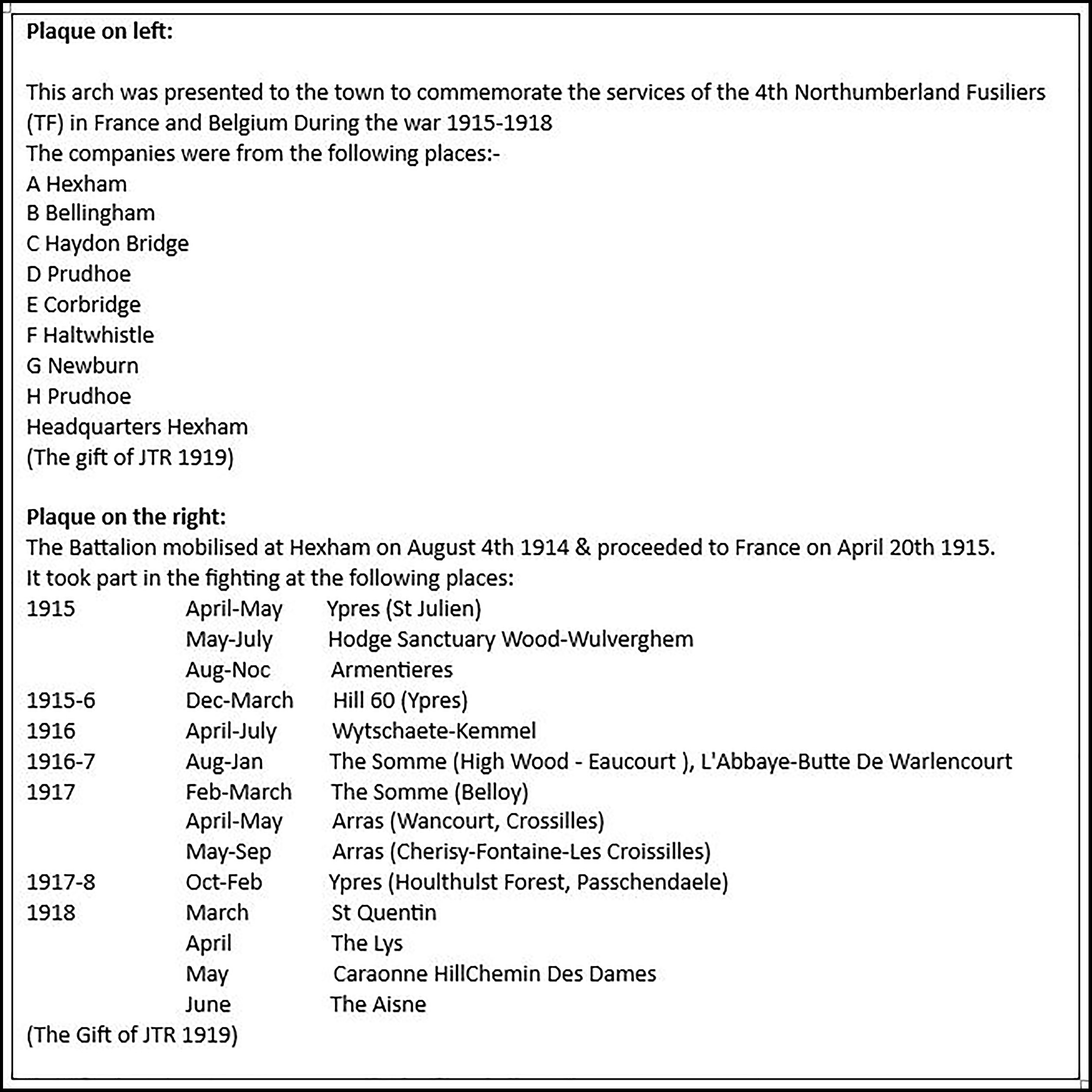
Admiral Fitzroy’s Storm Barometer, Crown & Anchor Pub, The Market Place, Fenkle Street, Holy Island, Northumberland, England UK
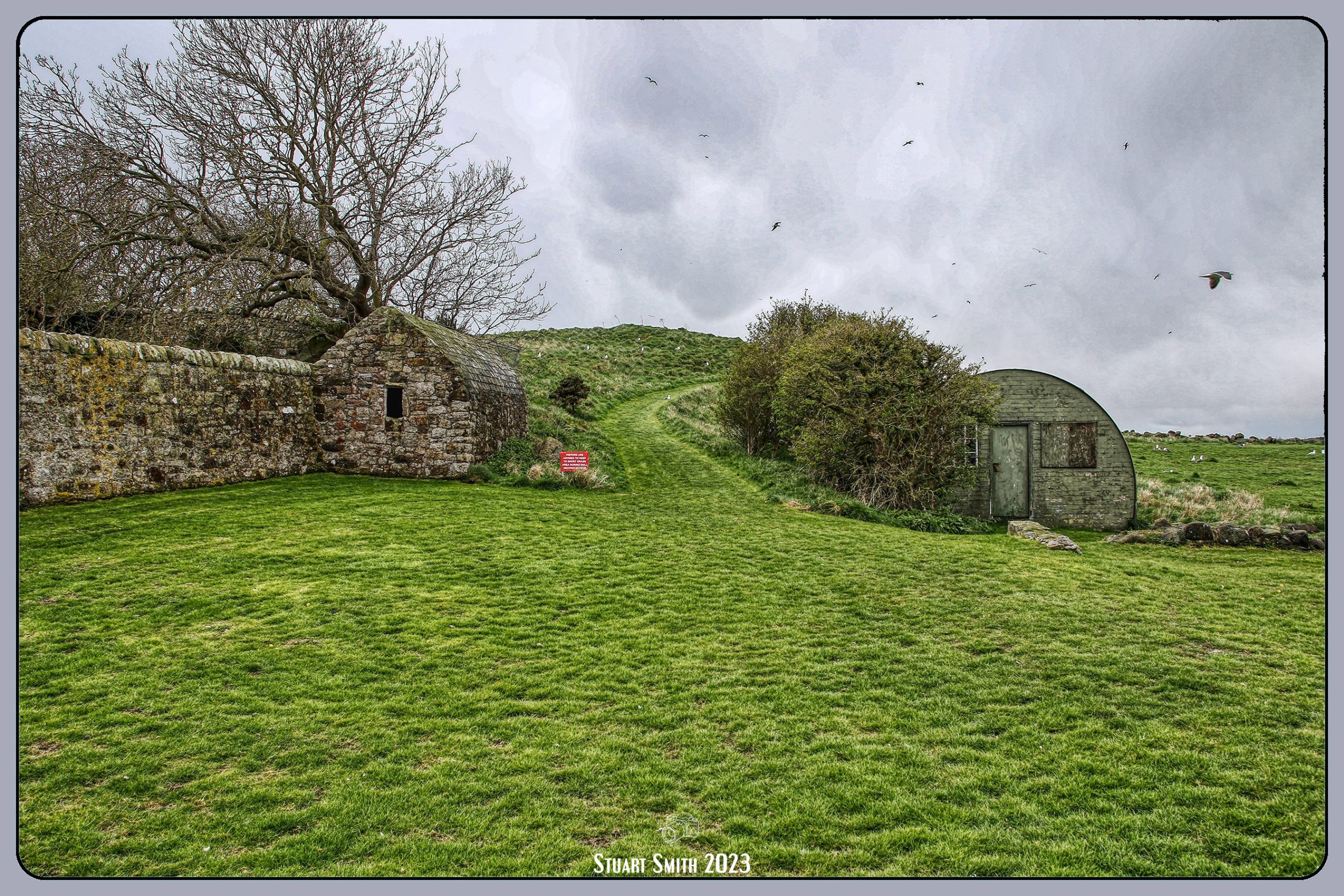
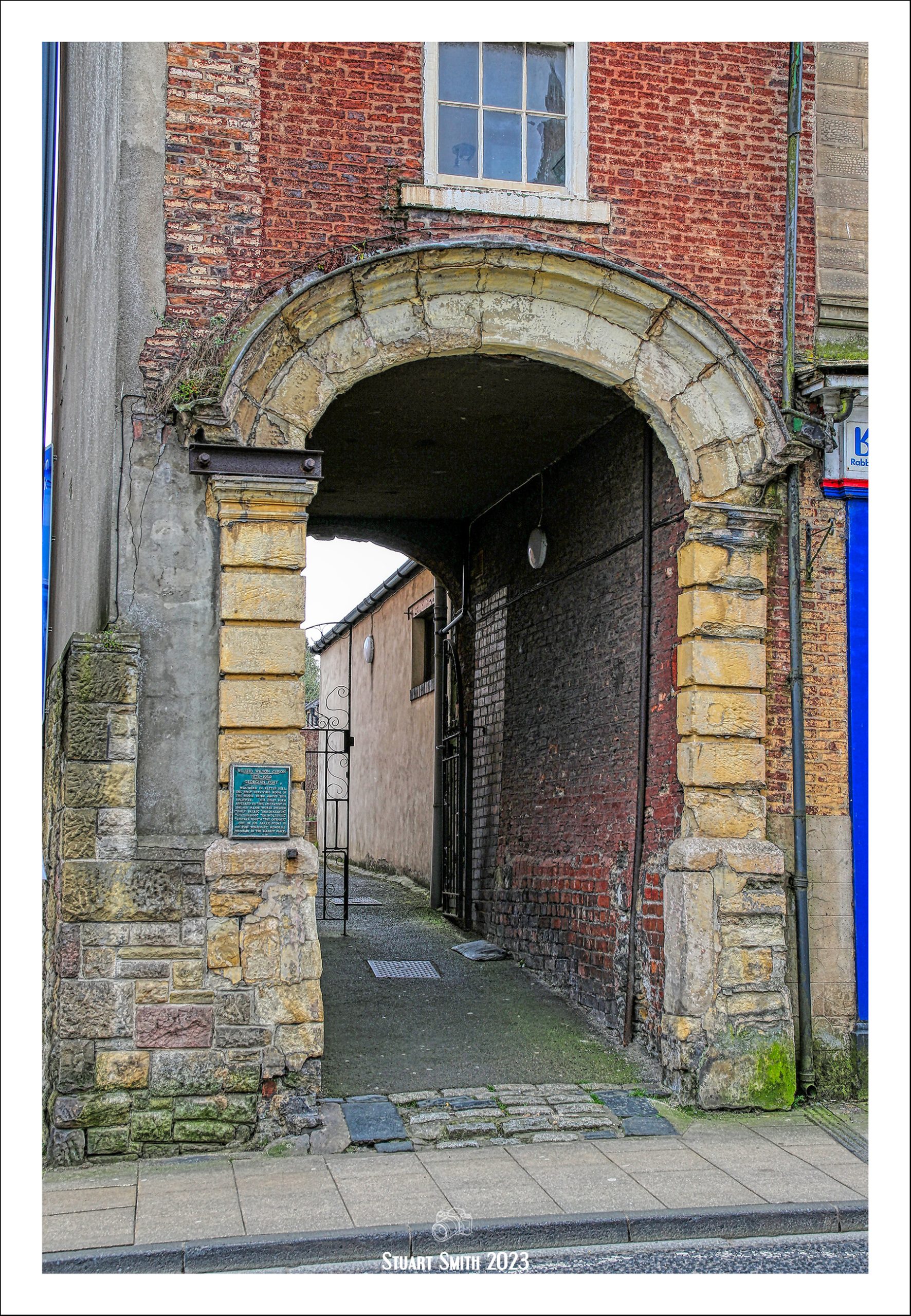
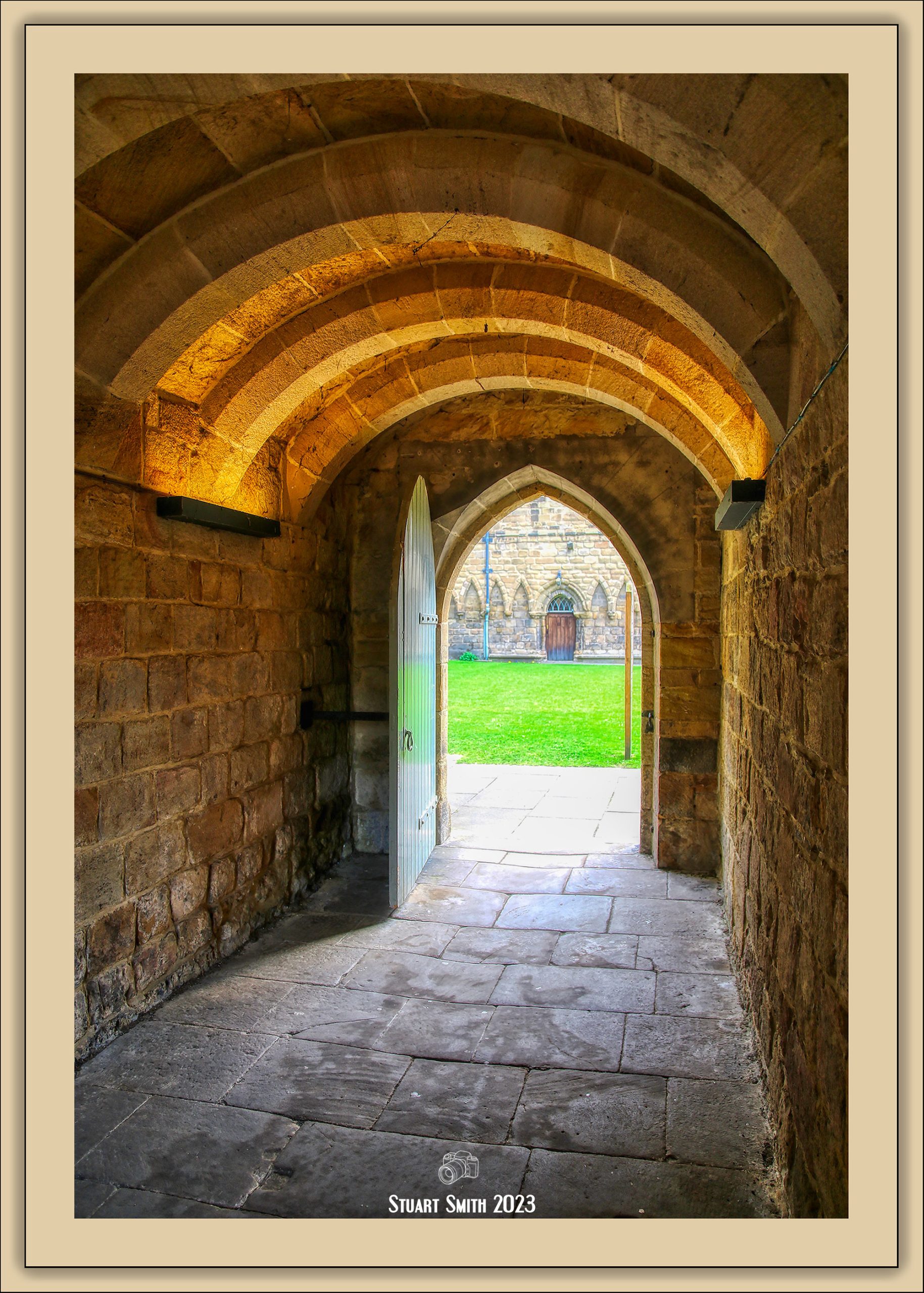
 Gateway & Path to Village, The Heugh, Holy Island, Northumberland, England UK
 Navigation Beacons at North End of Ross Links, Middleton, Northumberland, England UK
The Beacons are called Guile Point (the easterly one) and Heugh Hill (westerly) or sometimes Guile Point East & West, Old Law, and are described as wooden interior, stone clad obelisks, established in 1826. They are 21m and 24m high respectively, solar powered lights were added in the early 1990’s and they mark safe passage for vessels approaching Holy Island Harbour.
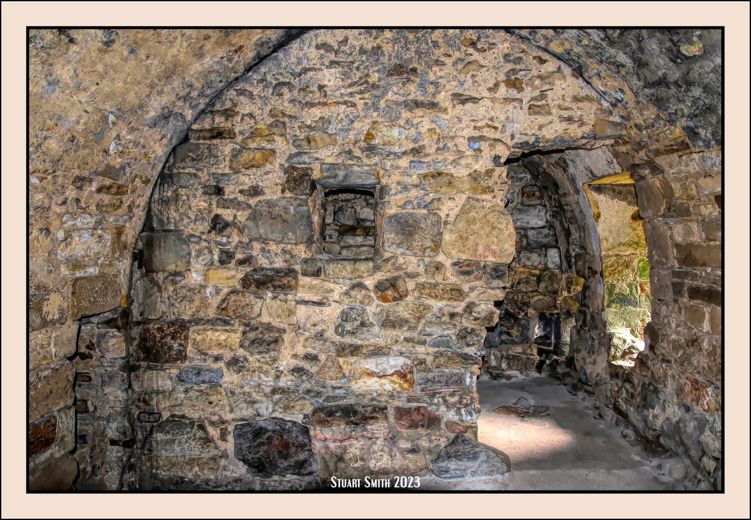
 Anglo-Saxon Archaeological Ruins & Lookout Tower, The Heugh, Holy Island, Northumberland, England UK
Possibly the the remains of the oldest Anglo-Saxon church in Northumbria. The church is thought to date to between A.D. 630 and 1050, most likely on the earlier end of the span, and may have been built on the same site where St. Aidan raised a wooden church in A.D. 635.
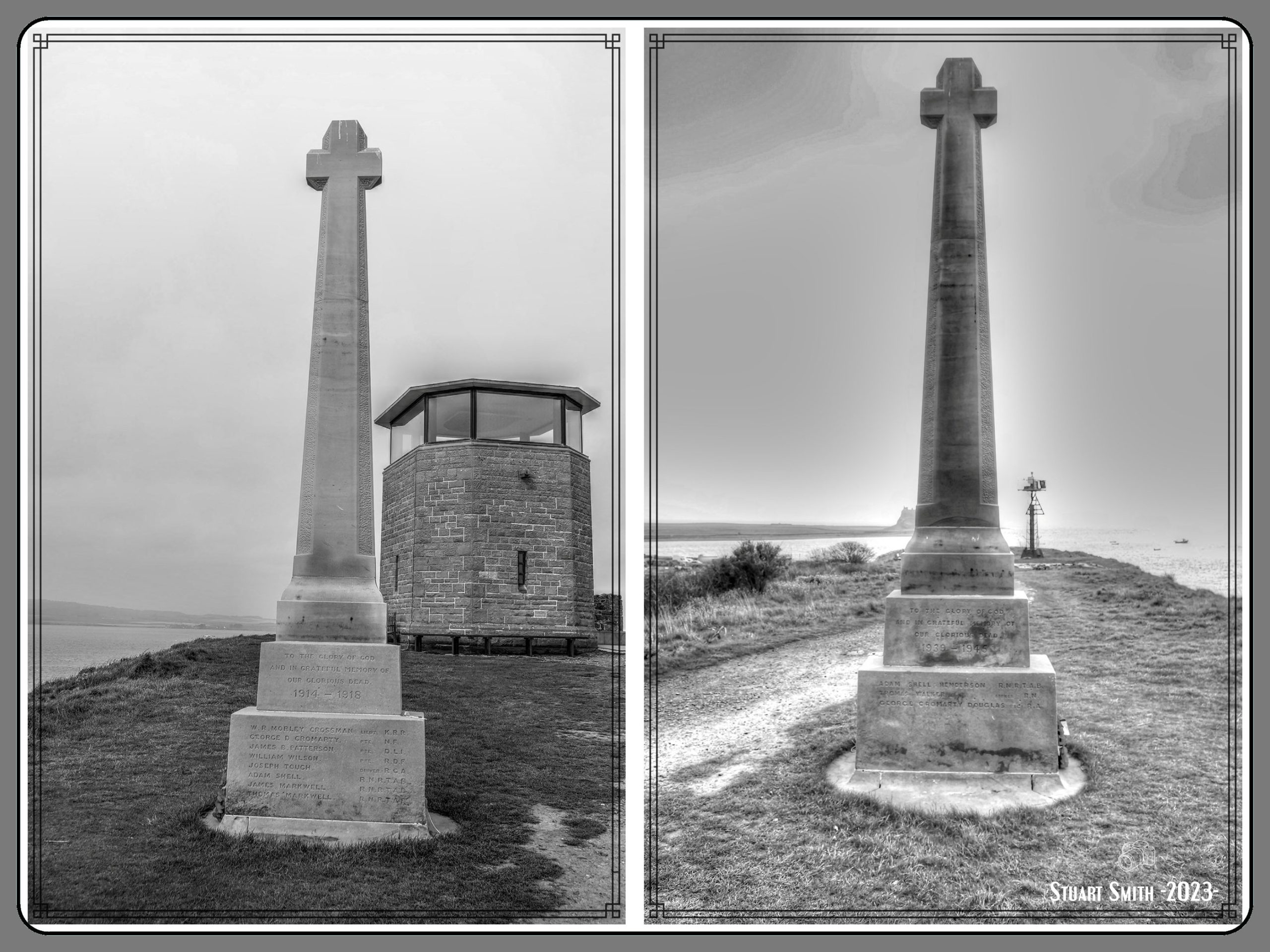
 War Memorial (Cenotaph), The Heugh, Holy Island, Northumberland, England UK
The great wave of memorial building after the First World War resulted in thousands of commemorative monuments being raised both at home and on the battlefield. Sir Edwin Landseer Lutyens was the most outstanding designer to work in this field. This is one of 15 War Crosses designed by Lutyens, sharing a broadly similar design. The earliest to be erected was at Miserden, Gloucestershire, in 1920; the latest at Station Road, York, in 1925.
In 1902, Lutyens had been commissioned by Edward Hudson to convert the C16 Lindisfarne Castle into a residential property. It is assumed that the commission for the war memorial arose because of the work that Lutyens had undertaken for Hudson. Lutyens donated his services to the War Memorial Committee. The memorial was carved in Doddington stone by Mr Tully of Belford; Lutyens chose this stone to chime with the stone of Lindisfarne Priory. At a well-attended ecumenical service, on 4 June 1922, the memorial was unveiled by Major Morley Crossman DSO and dedicated by Rev WB Hall.
An inscription to commemorate those local servicemen who died fighting during the Second World War was added at a later date. Following storm damage which broke the shaft in the winter of 1983-4, the top of the memorial was replaced.
Sir Edwin Lutyens OM RA (1869-1944) was the leading English architect of his generation. Before the First World War his reputation rested on his country houses and his work at New Delhi, but during and after the war he became the pre-eminent architect for war memorials in England, France and the British Empire. While the Cenotaph in Whitehall (London) had the most influence on other war memorials, the Thiepval Arch was the most influential on other forms of architecture. He designed the Stone of Remembrance which was placed in all Imperial War Graves Commission cemeteries and some cemeteries in England, including some with which he was not otherwise associated.
IMAGE 1: —– IMAGE 2:

 St Cuthbert’s Island from The Heugh, Holy Island, Northumberland, England UK
A tidal island that is accessible by foot at low tide. – The RNLI Museum is on the right,
 Relic, The Heugh, Holy Island, Northumberland, England UK
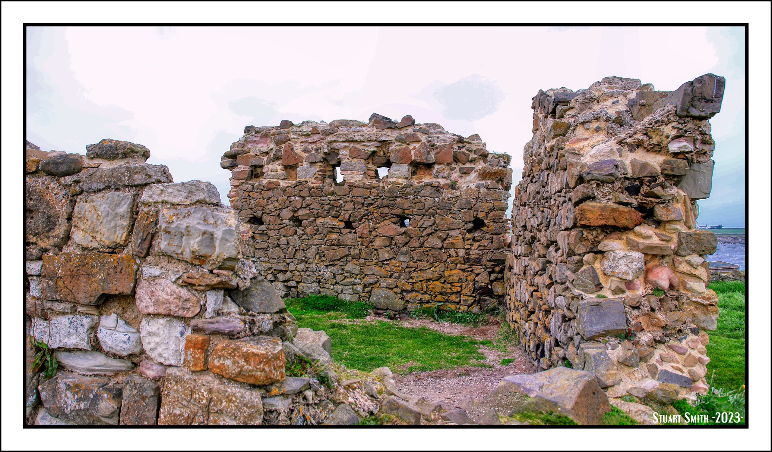
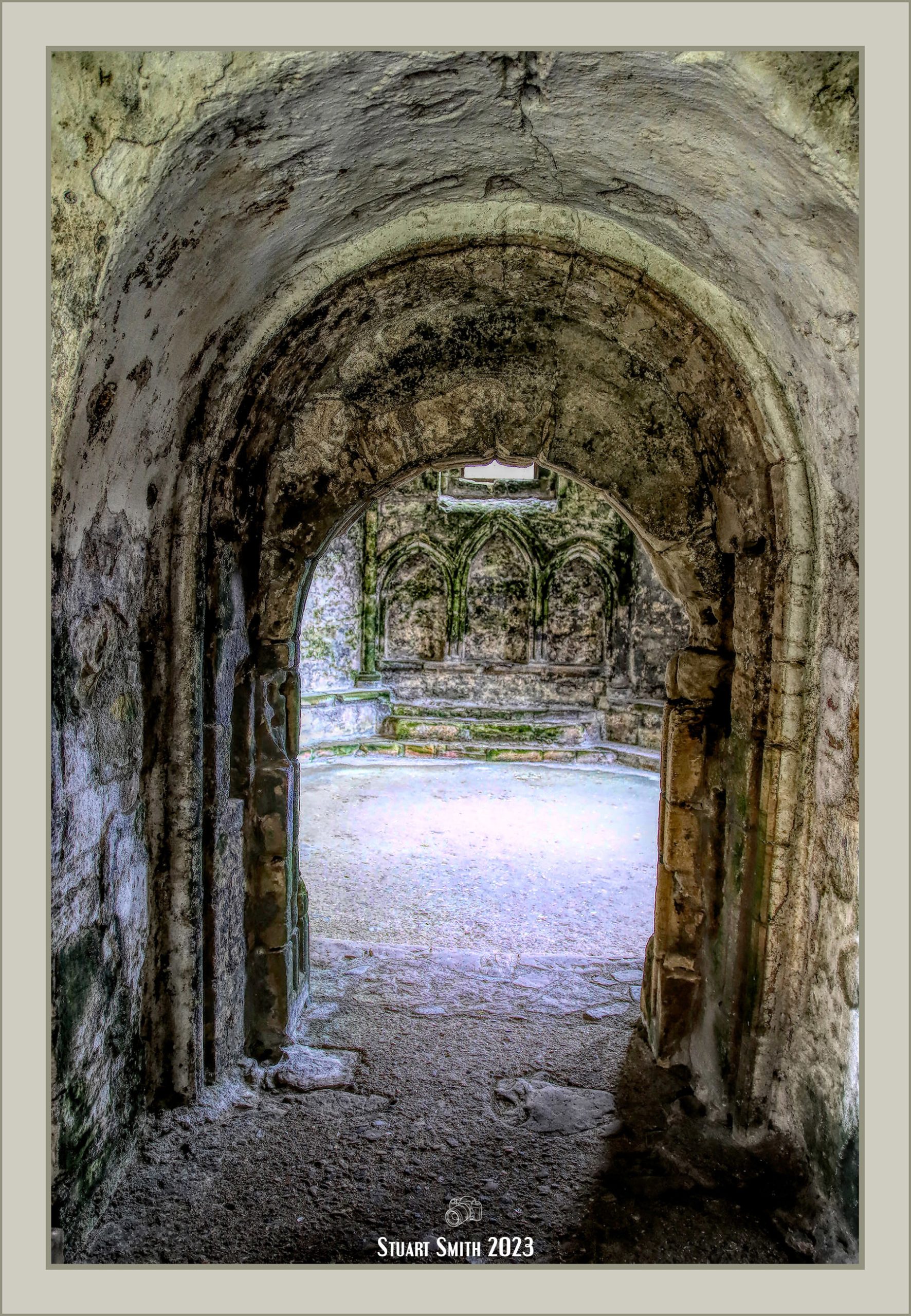
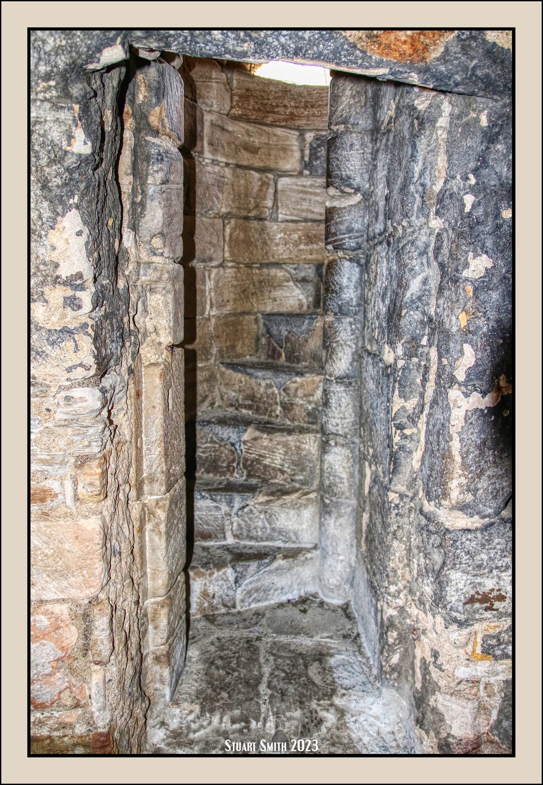
 Ruins Adjacent to the Lookout Tower, The Heugh, Holy Island, Northumberland, England UK


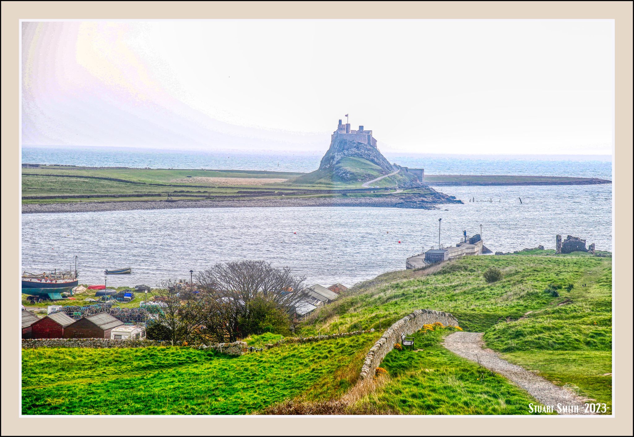
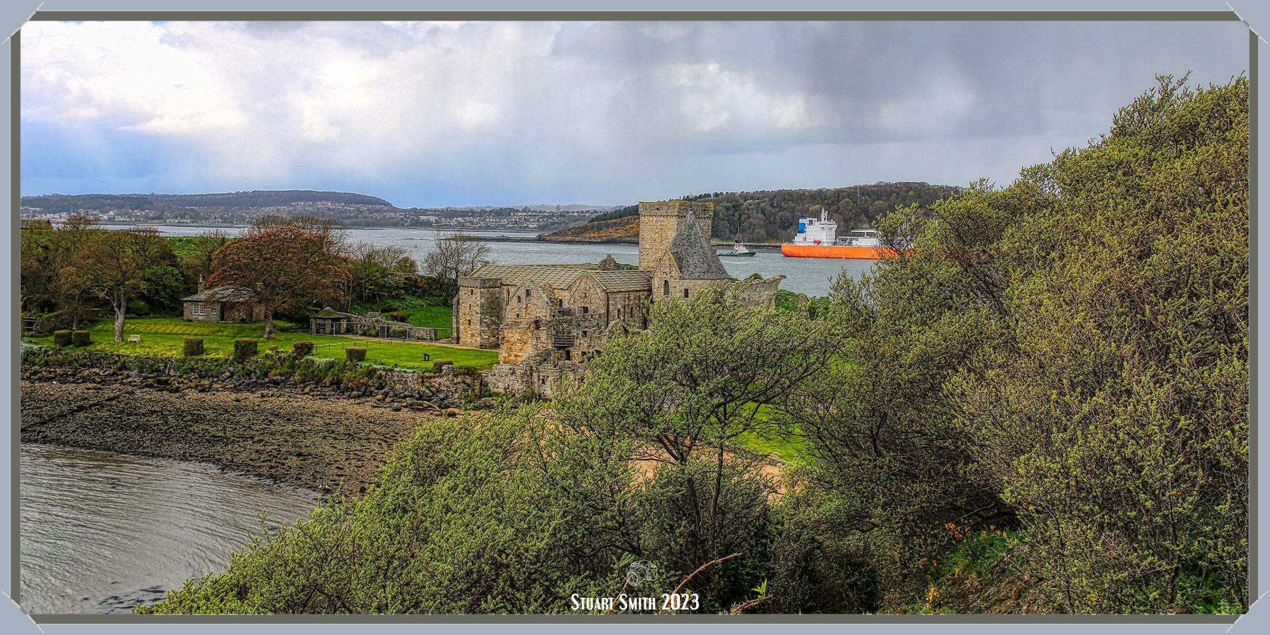
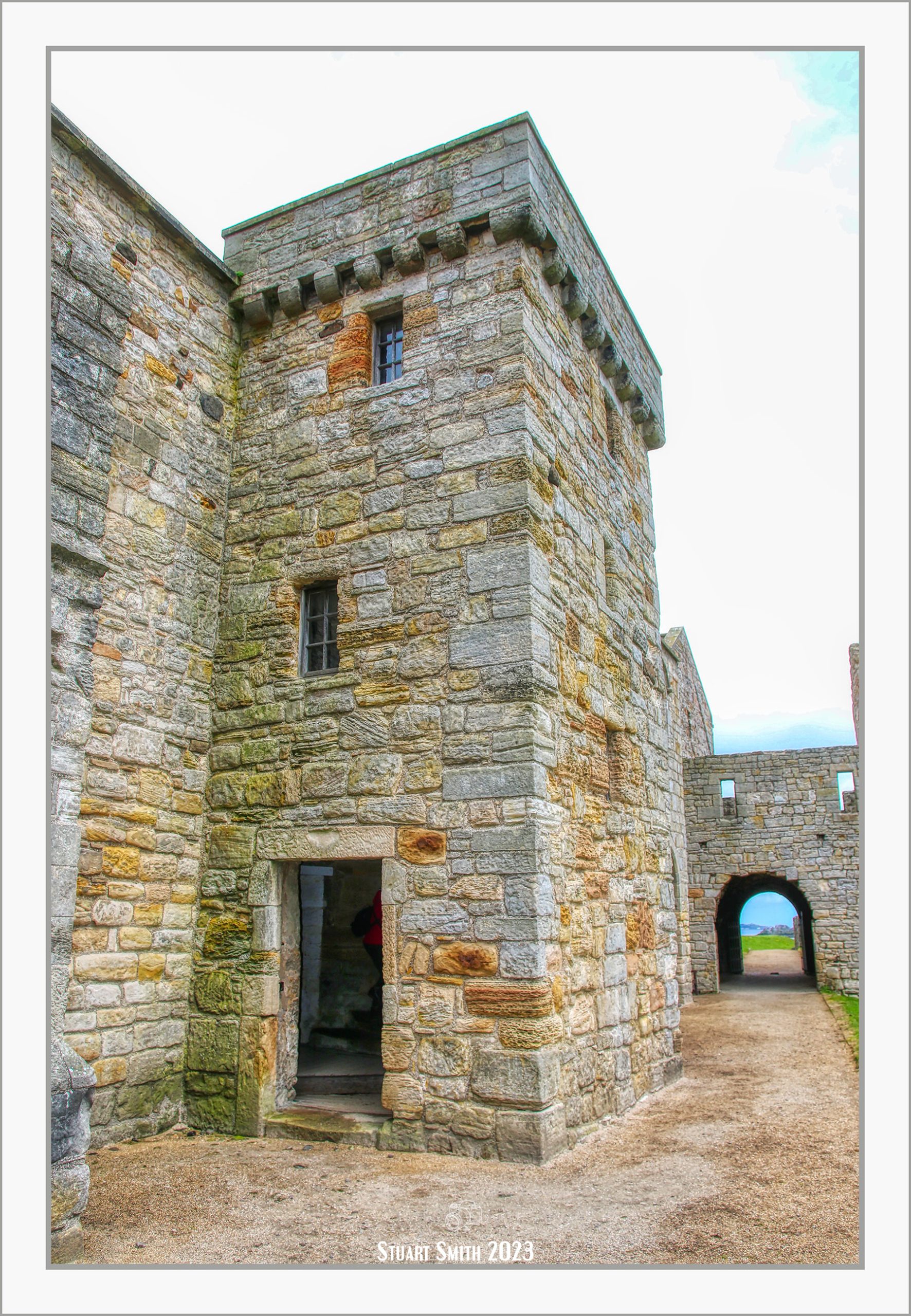
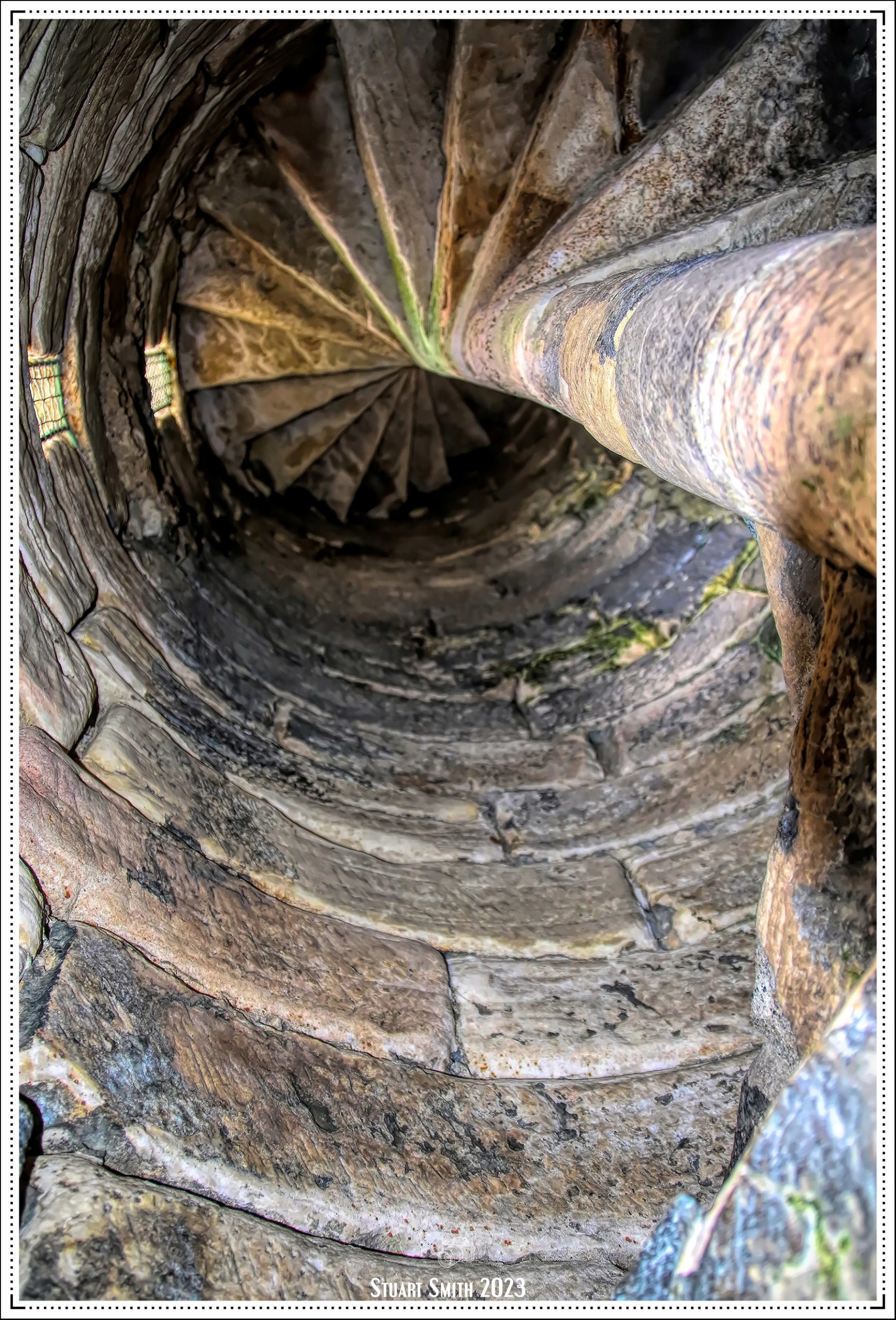
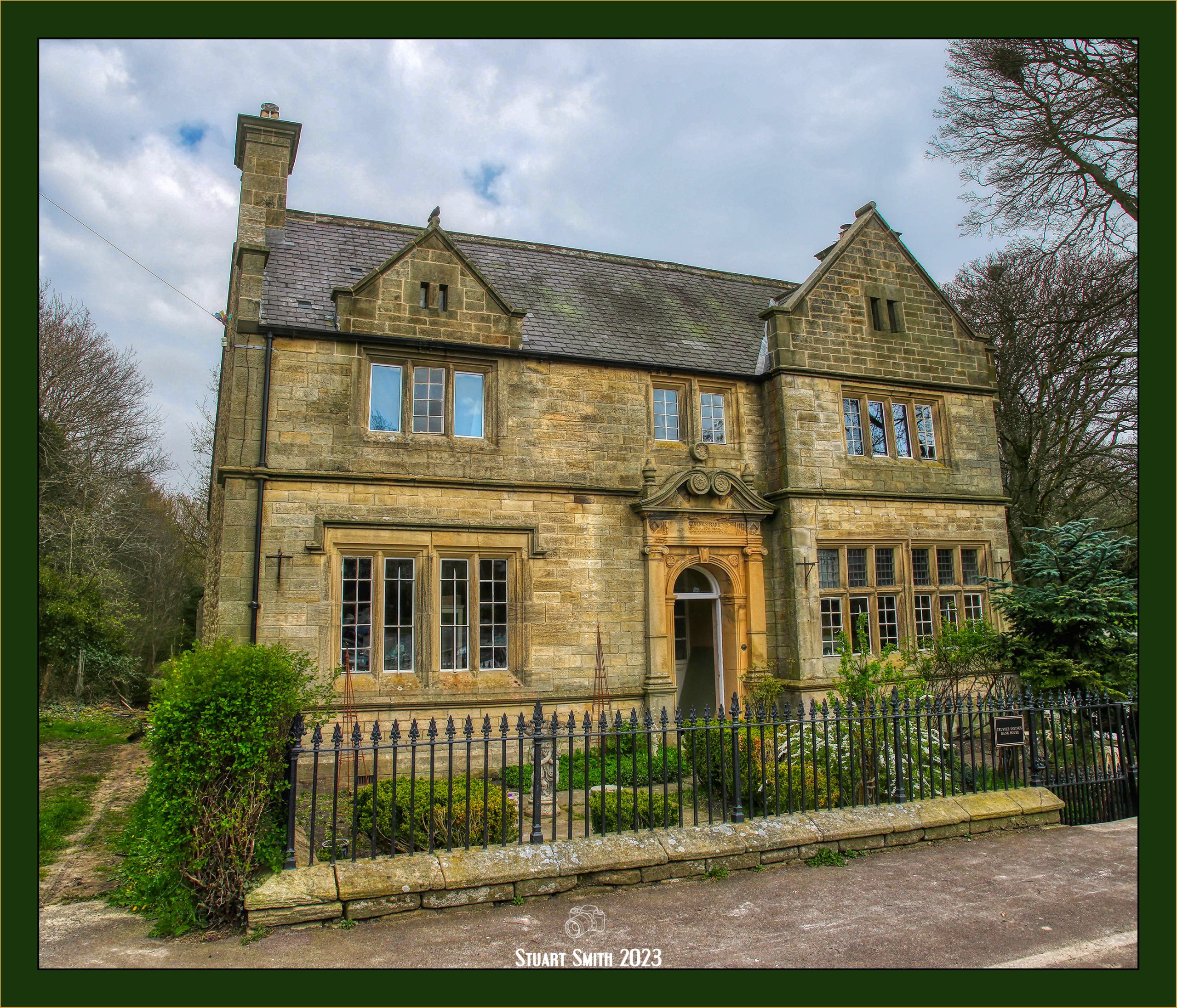
 Lindisfarne Castle, Holy Island, Northumberland, England UK
16th century castle converted to a residence in 1902 by Sir Edwin Lutyens for Edward Hudson.
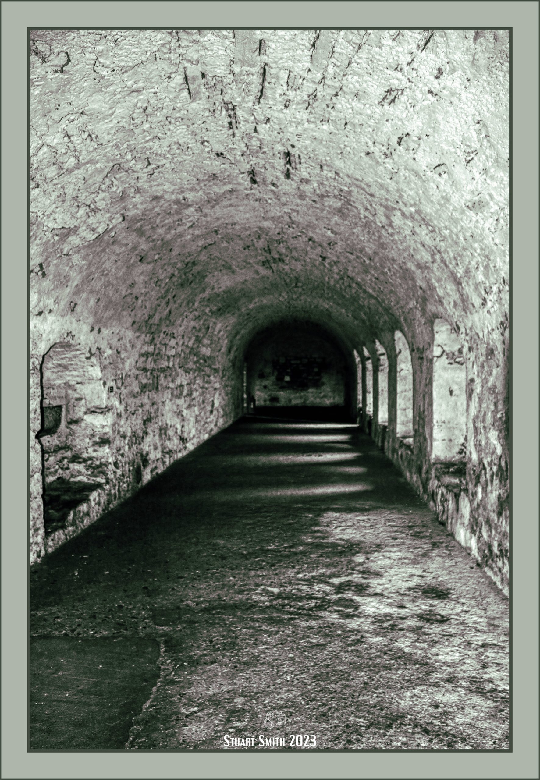
Images taken from inside the glassed-in lookout tower
 Crown & Anchor Inn, Fenkle Street, Holy Island, Northumberland, England UK
The pub dates to 1827
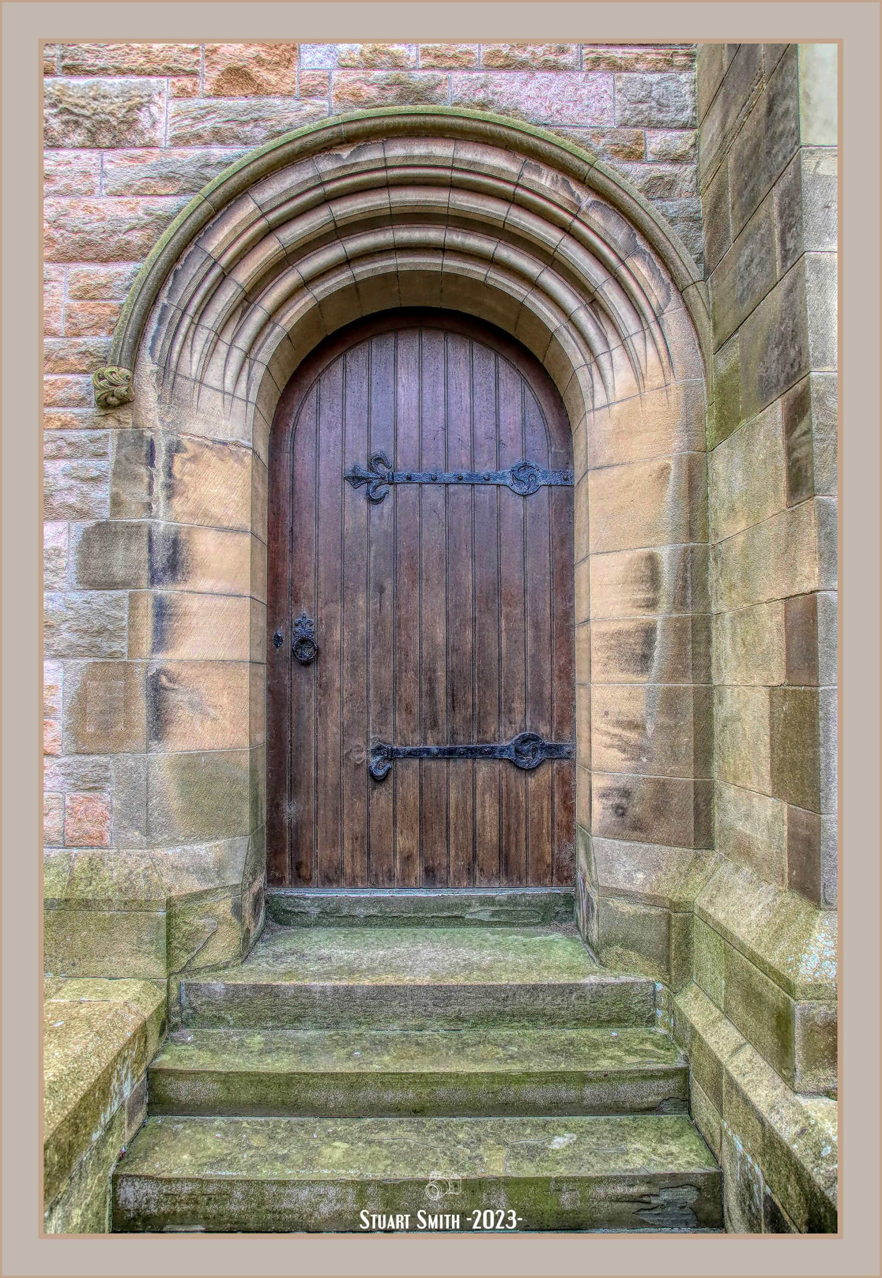
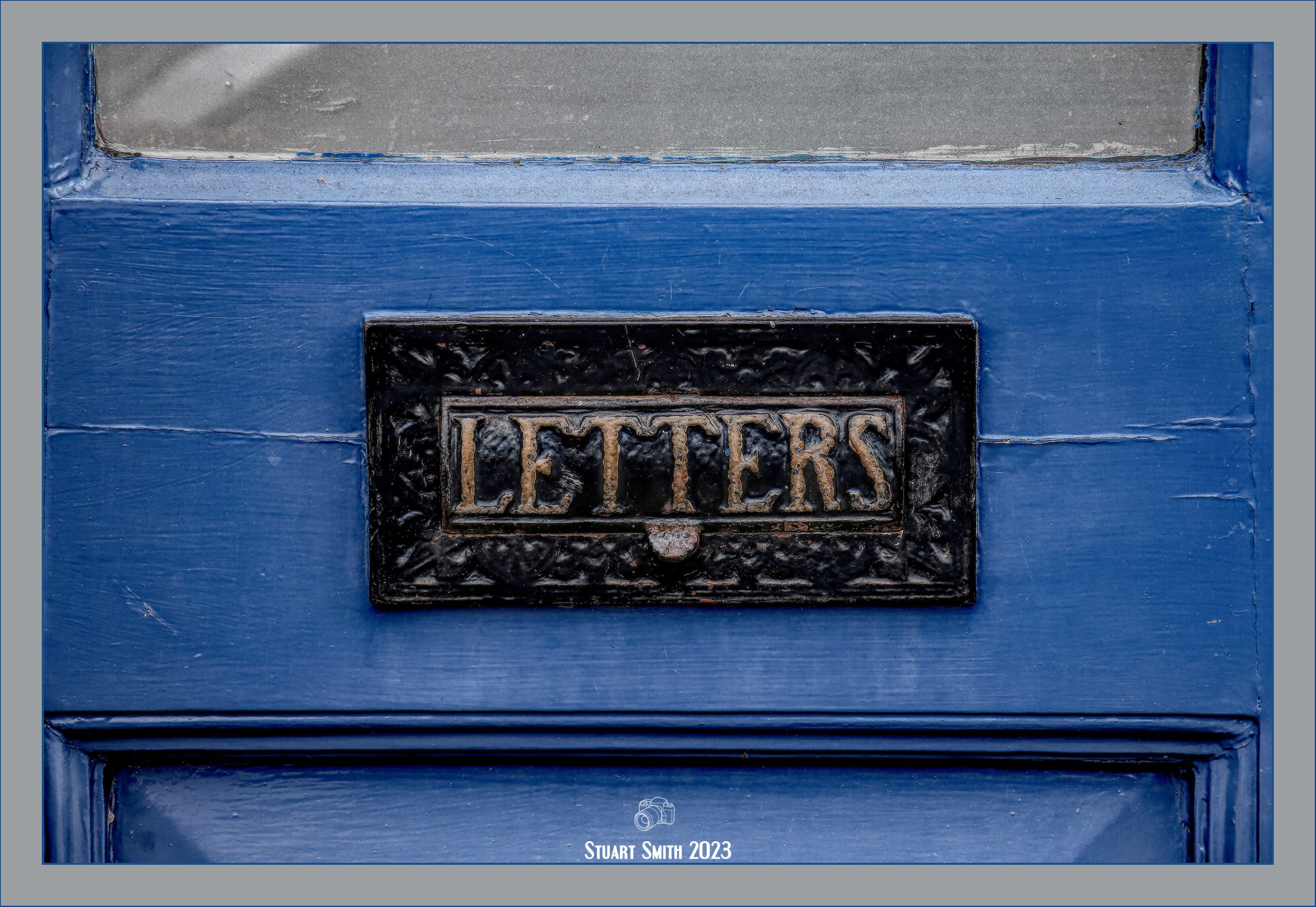
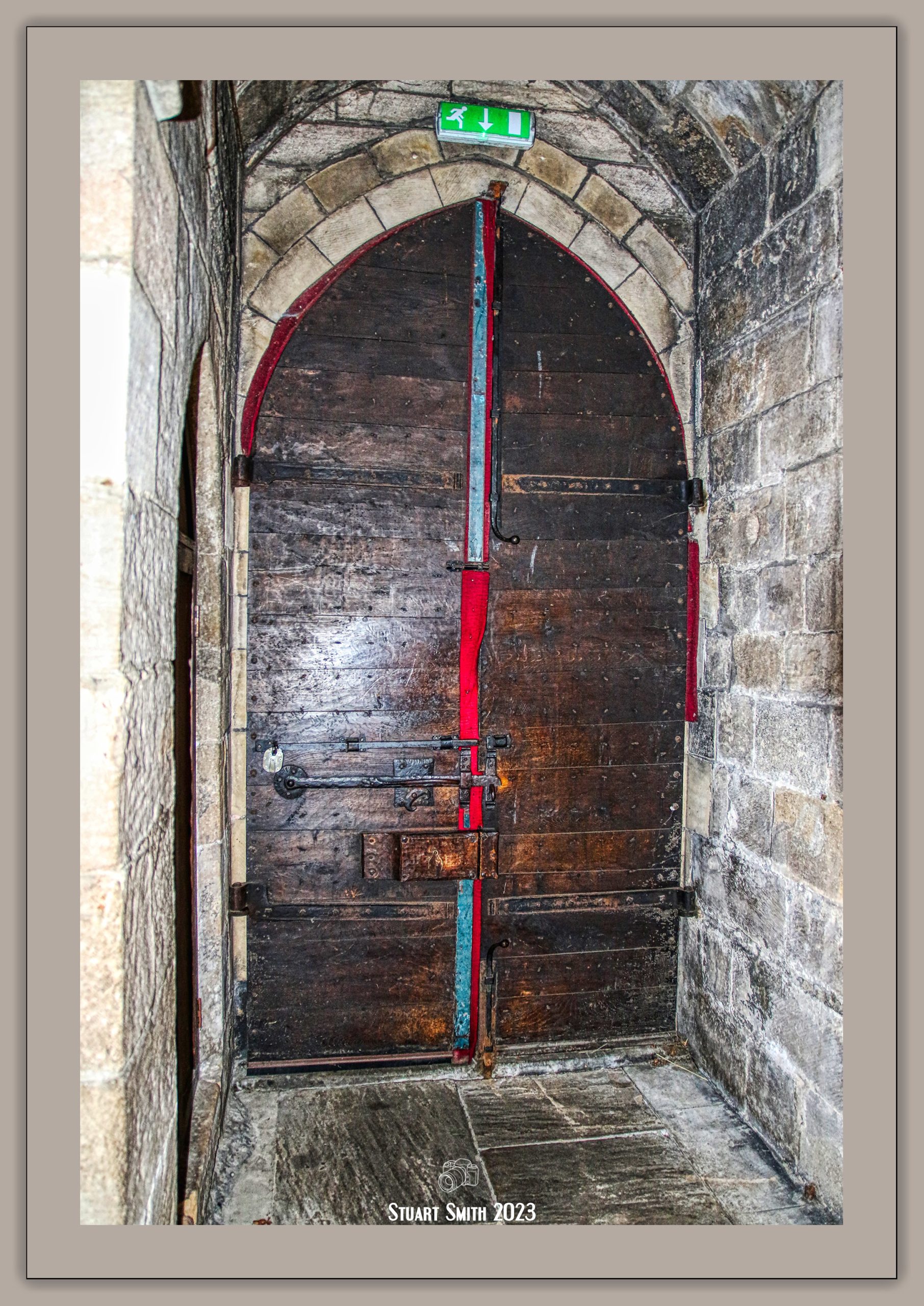
 Door, Crown & Anchor Inn, Fenkle Street, Holy Island, Northumberland, England UK
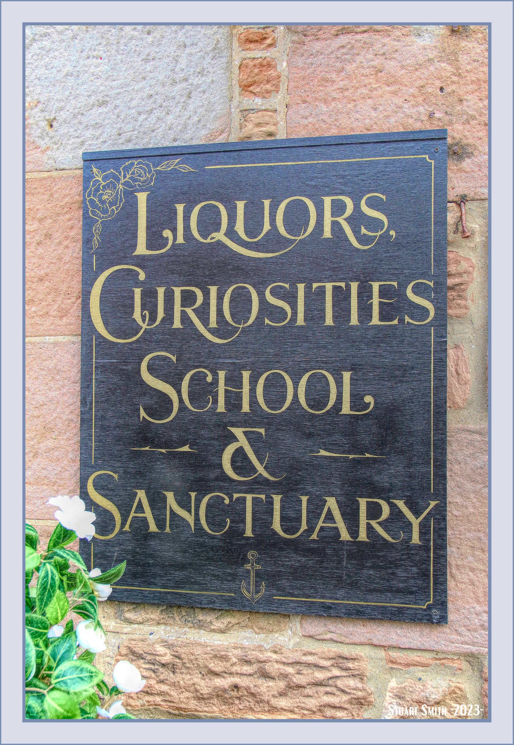
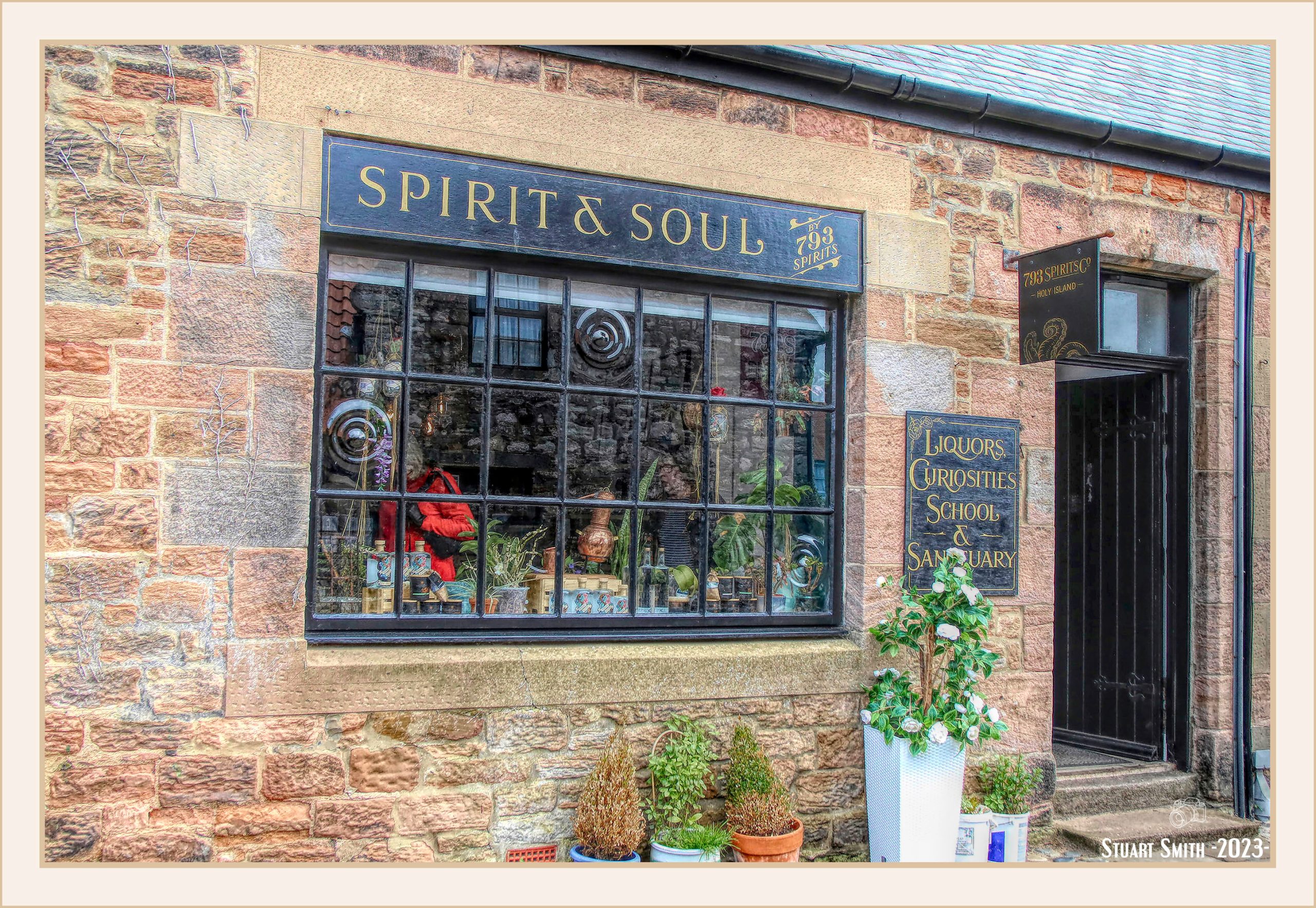
 Former GPO Marker, Market Place, Holy Island, Northumberland, England UK
Not as old as it looks – it used to mark where a telephone cable runs by displaying the distance in Feet using up to three interchangeable numbers.
 Britannia Cottage, Crossgates Lane, Holy Island, Northumberland, England UK
 Mustard Close, Holy Island, Northumberland, England UK
 RNLI Museum, Mustard Close, Holy Island, Northumberland, England UK
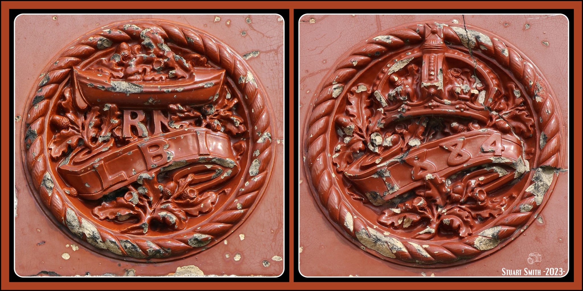 Emblems, RNLI Museum, Mustard Close, Holy Island, Northumberland, England UK
The Old Lifeboat House was restored in 2015, 50 years after the last lifeboat was taken out of service on the island (there is now a volunteer Coastguard contingent on the island). It features an exhibition telling the story of the Lifeboats on the island, and is dedicated to the Lifeboat crews and islanders with a connection to the service.
The first lifeboat, the Grace Darling, a ten-oar boat, was introduced to Holy Island in 1865.
The last lifeboat (Gertrude) was launched for the last time on 4 October 1967, before she was transferred to Exmouth in Devon. Following the introduction of advanced navigation technology and the use of helicopters both for sea rescues and to evacuate casualties from the island, there was a decreased need for the lifeboat service, though the RNLI services from Seahouses and Berwick are still used.
Image 1: —– Image 2:
These plates are either side of the doorway to the museum.
A common use today for the service:
 Window, Fenkle Street, Holy Island, Northumberland, England UK
 Rear Garden Gate, Fenkle Street, Holy Island, Northumberland, England UK
 Iron Rails Cottage, Front Street, Holy Island, Northumberland, England UK
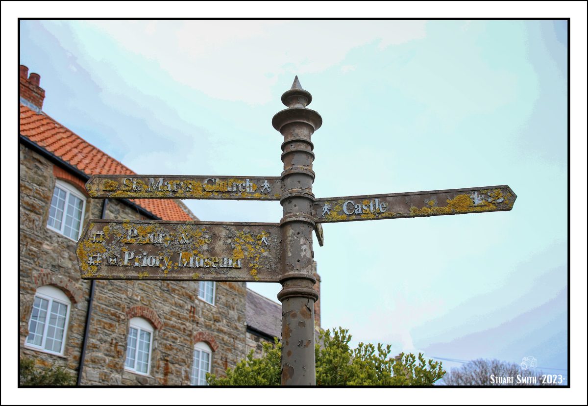
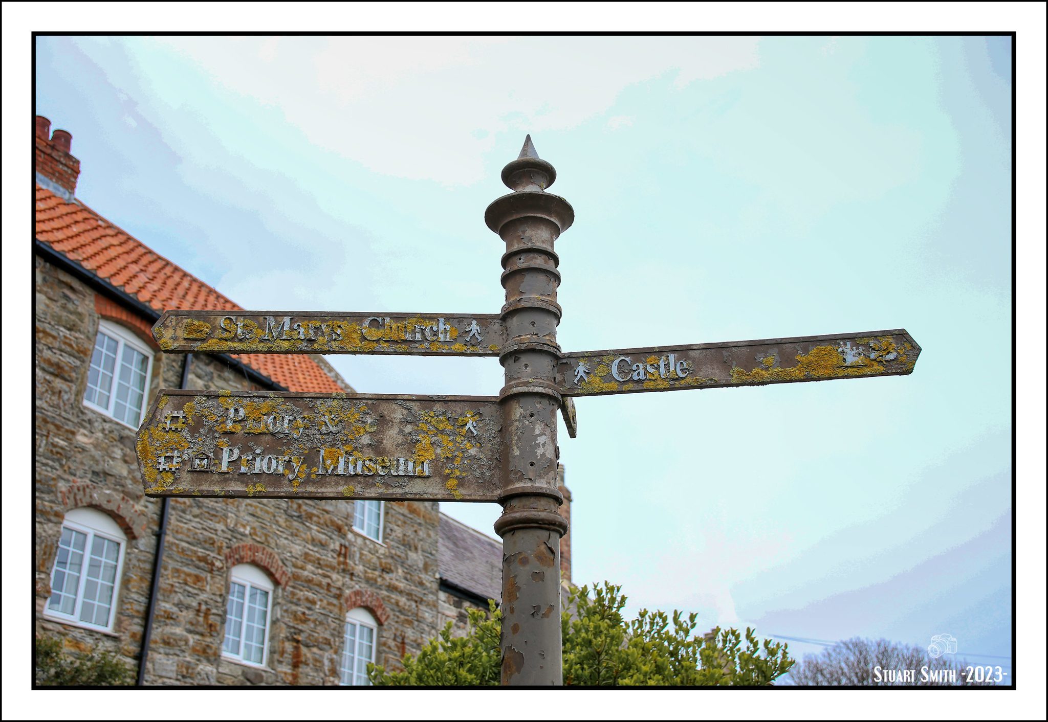 Sign Post, Front Street, Holy Island, Northumberland, England UK
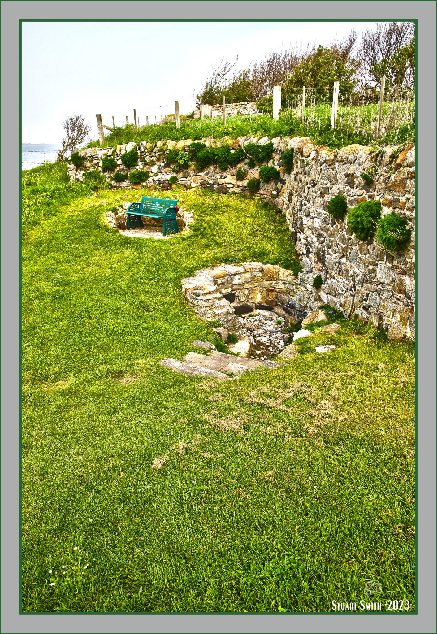
 Rural Land behind the Coast Guard Station, 2 St Cuthberts Square, Holy Island, Northumberland, England UK
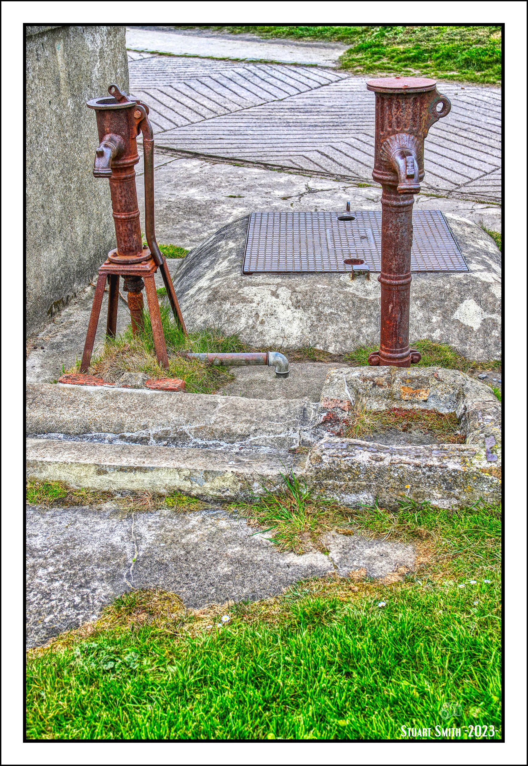
 Old Pumps, Coast Guard Station, St Cuthberts Square, Holy Island, Northumberland, England UK
 Broken & Abandoned, Lindisfarne Harbour, Holy Island, Northumberland, England UK
 Anchor Chain Links, Lindisfarne Harbour, Holy Island, Northumberland, England UK
 Boat Shed, The Ouse, Holy Island, Northumberland, England UK

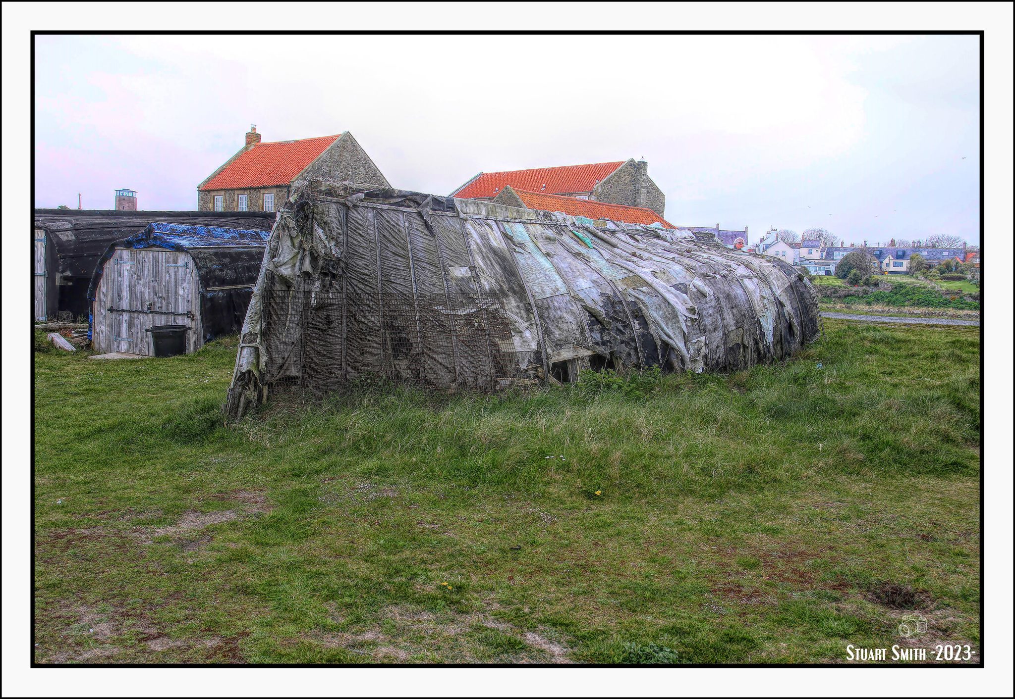

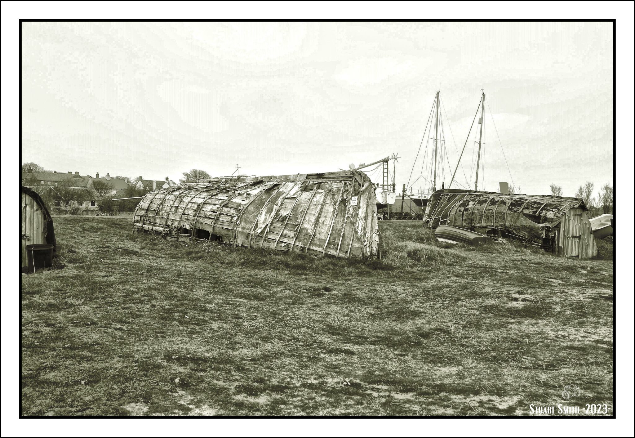
 Herring Boats, Lindisfarne Harbour, Holy Island, Northumberland, England UK
Old herring fishing boats no longer seaworthy, brought ashore and upturned to convert to storage shelters

 The Ouse, Lindisfarne Harbour, Holy Island, Northumberland, England UK
 Lindisfarne Harbour Wall, Holy Island, Northumberland, England UK
 Crab-Lobster Pots, Lindisfarne Harbour, Holy Island, Northumberland, England UK
 Fishing Boats, Lindisfarne Harbour, Holy Island, Northumberland, England UK
 Fisherman’s Boat, Lindisfarne Harbour, Holy Island, Northumberland, England UK
 Fisherman’s Hut, Lindisfarne Harbour, Holy Island, Northumberland, England UK


 Coastal Rocks, Lindisfarne Harbour, Holy Island, Northumberland, England UK

 Osborne’s Fort, Lindisfarne Harbour, Holy Island, Northumberland, England UK
Built in 1671 as fortifications to supplement Lindisfarne Castle and defend against Dutch Raids.
History:
 Lindisfarne Castle across the Harbour, Holy Island, Northumberland, England UK
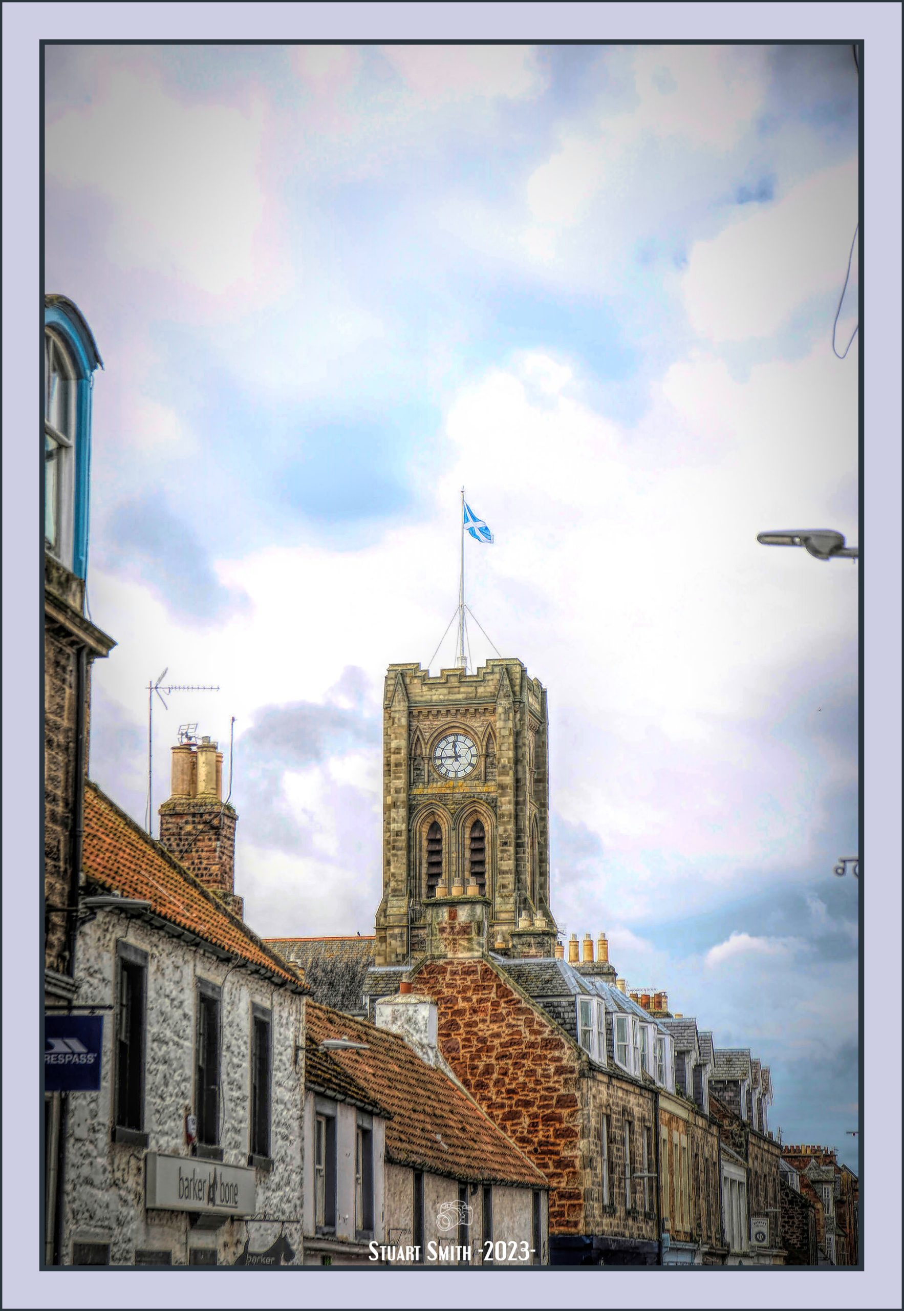
 Old Post Office House, Fenkle Street View, Holy Island, Northumberland, England UK
 Wall Lamp, Manor House Hotel, Church Lane, Holy Island, Northumberland, England UK
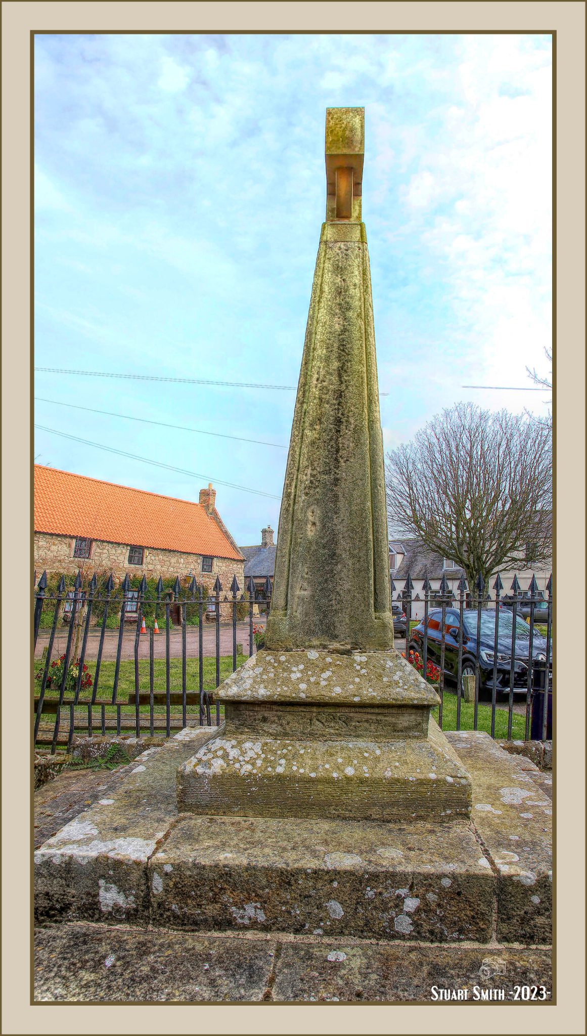 Celtic Cross, Market Place, Holy Island, Northumberland, England UK
The cross was rebuilt in 1828 on the site of a medieval cross, and is Listed Grade II, including the railings.
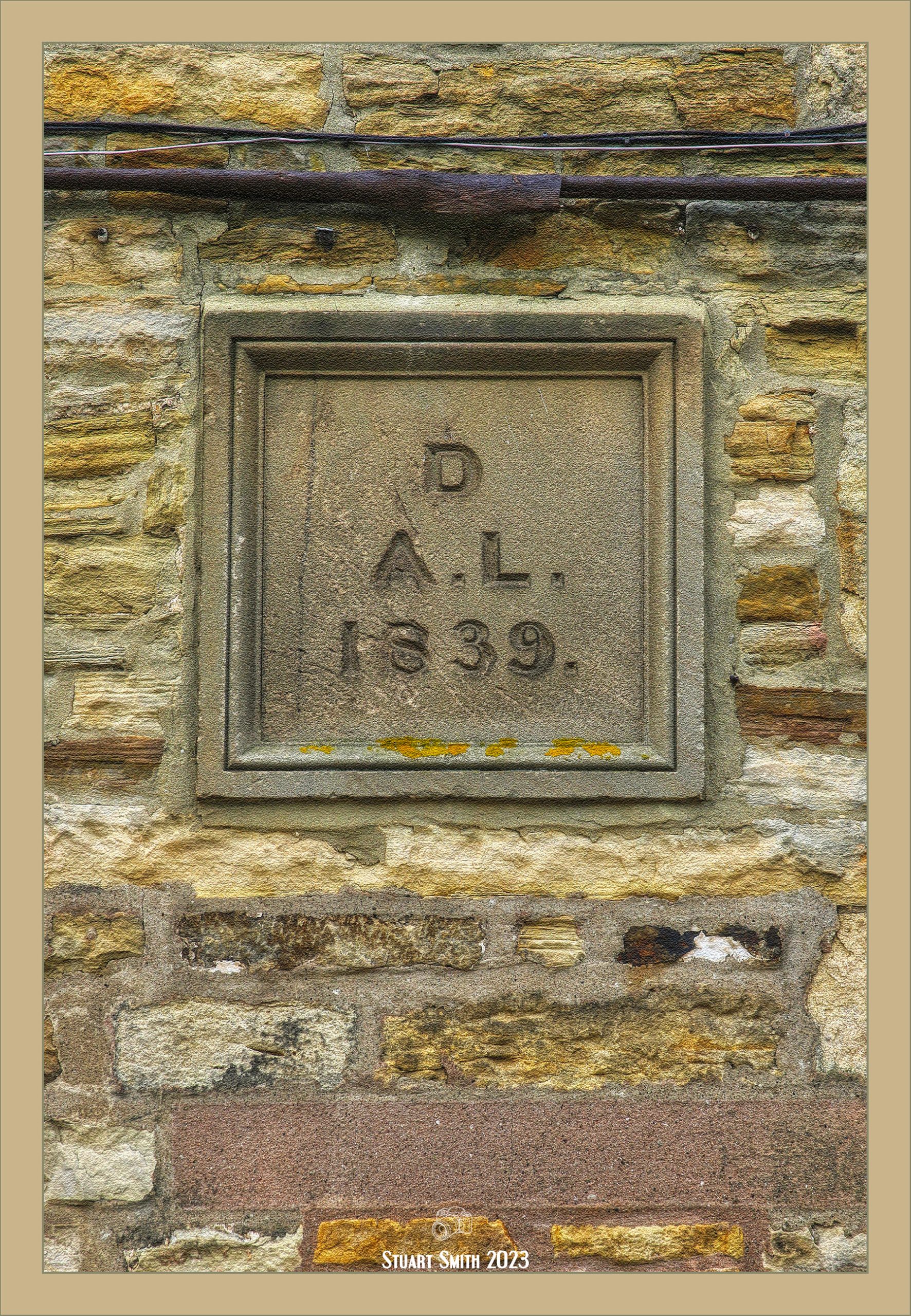
 Shipwrecked Mariners Society Charity Collection, Market Place, Holy Island, Northumberland, England UK
The Shipwrecked Fishermen & Mariners Royal Benevolent Society. 16 Wilfred Street, London SW1.
Founded 1839:
 Sundial, Market Place, Holy Island, Northumberland, England UK
Included in the listing with the cross
 Rain Barrel, Crossgates Lane, Holy Island, Northumberland, England UK
 RNLI Commemoration Plates, Crossgates Lane, Holy Island, Northumberland, England UK
Image 1: —– Image 2: —– Image 3: —– Image 4:
 RNLI Plaque, Crossgates Lane, Holy Island, Northumberland, England UK
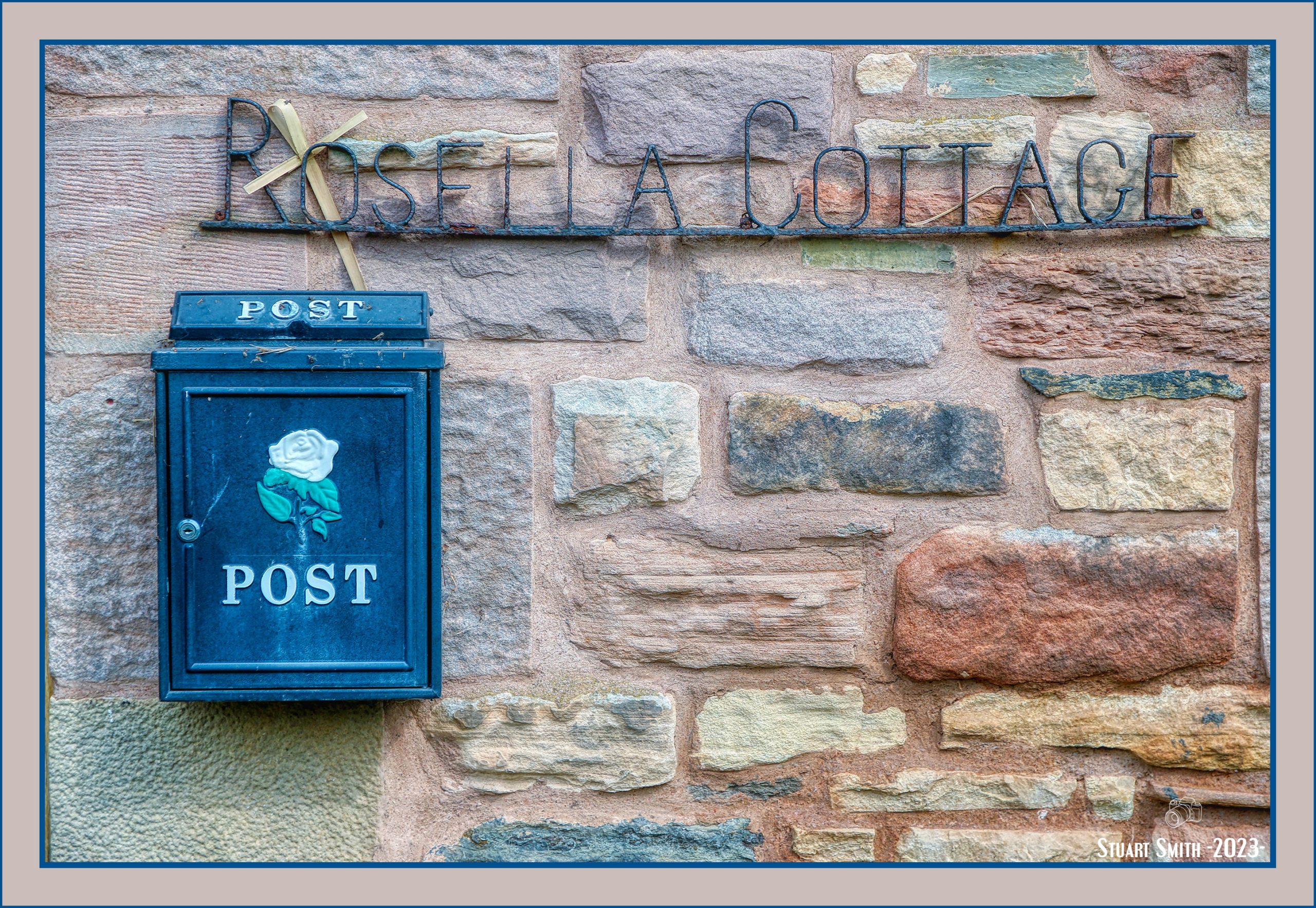
 Rosella Cottage, Church Lane, Holy Island, Northumberland, England UK
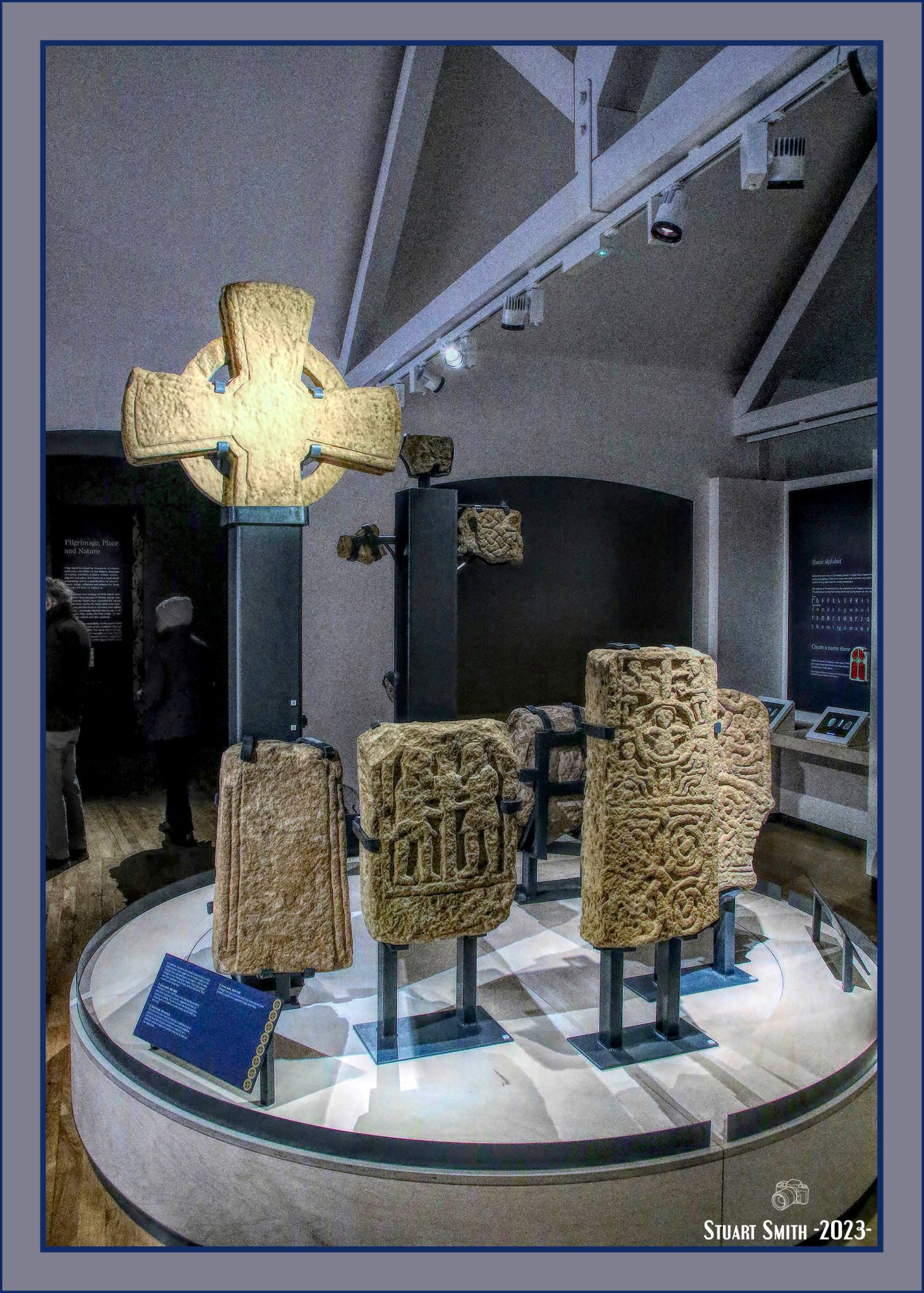 Exhibit, Lindisfarne Priory Museum, Church Lane, Holy Island, Northumberland, England UK
 Derelict Shed, St Cuthbert’s Beach, Holy Island, Northumberland, England UK
 Stone Remnants, St Cuthbert’s Beach, Holy Island, Northumberland, England UK
 Steps to Gateway, St Cuthbert’s Beach, Holy Island, Northumberland, England UK
 Path & Gate to Mustard Close, Holy Island, Northumberland, England UK
 Flowers, Mustard Close, Holy Island, Northumberland, England UK
 Gate at Entrance to the Priory Ruins, Holy Island, Northumberland, England UK
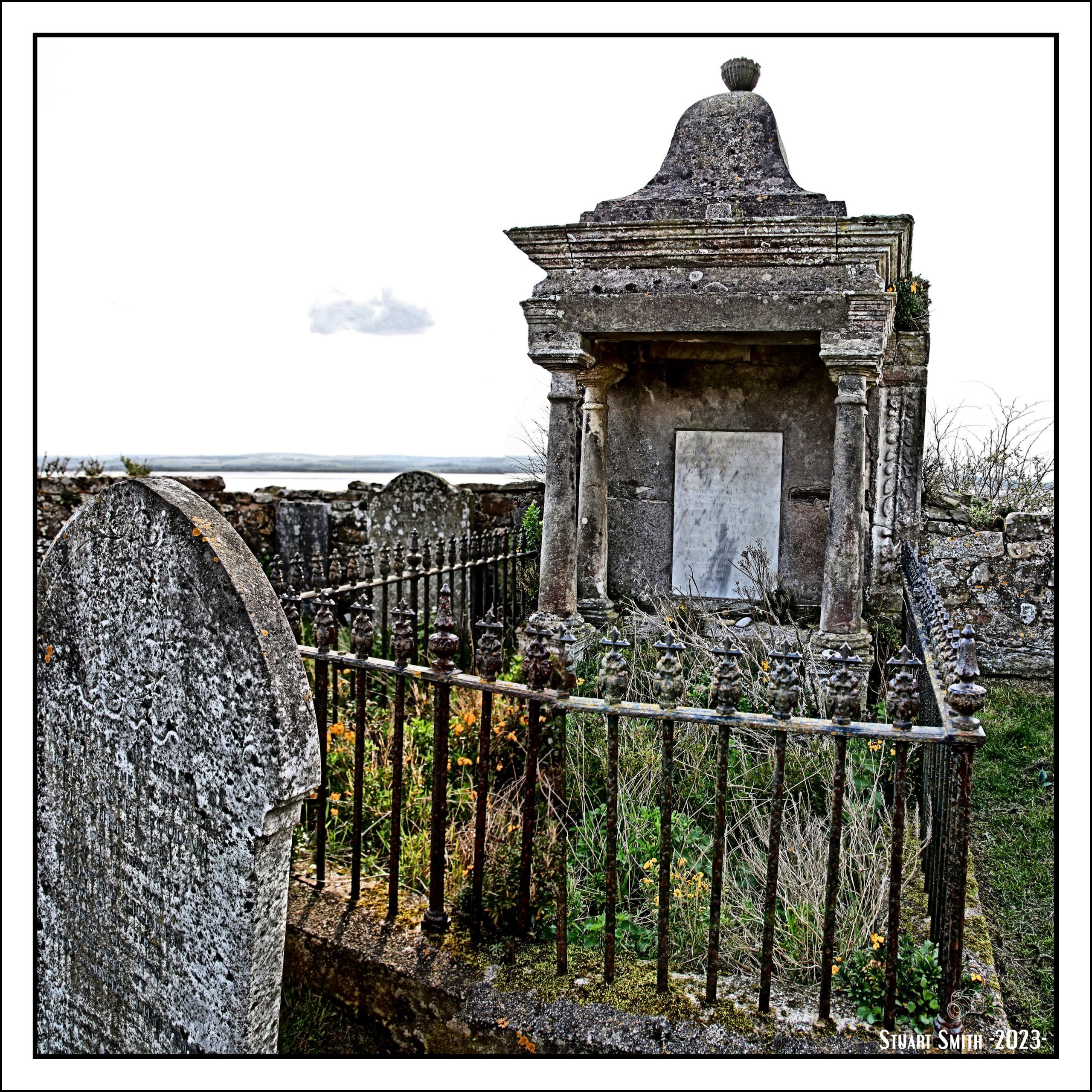
 In Memory, St Mary’s Churchyard, Holy Island, Northumberland, England UK
Inscription:
Erected to the memory of eleven of the crew of the Holmrook S. S. who lost their lives through the vessel being wrecked on the False Emanuel Head, Holy Island 26th March 1892, of whom are buried here
W. B. Baines, Master
James Skinner
John James
A. Wilkinson
William Taylor
W. H. Robson
S. Haggerson
H. R. Guthrie
and another unidentified
John Nye
The story here:
 Nesting Birds, St Mary’s Church, Holy Island, Northumberland, England UK
Image 1: —– Image 2:
 Headstone, Henry Thomas McDonald, St Mary’s Church, Holy Island, Northumberland, England UK
In
Memory
Of
Henry Thomas McDonald
Who was first in the
32nd and afterwards
Capt. in the 53rd Regt
And served long
In India
Died August 25th 1856
Aged 73 years
Also 2 of his sons
Died in infancy
 Memorial Plaques, St Mary’s Church, Holy Island, Northumberland, England UK
Image 1: —– Image 2:


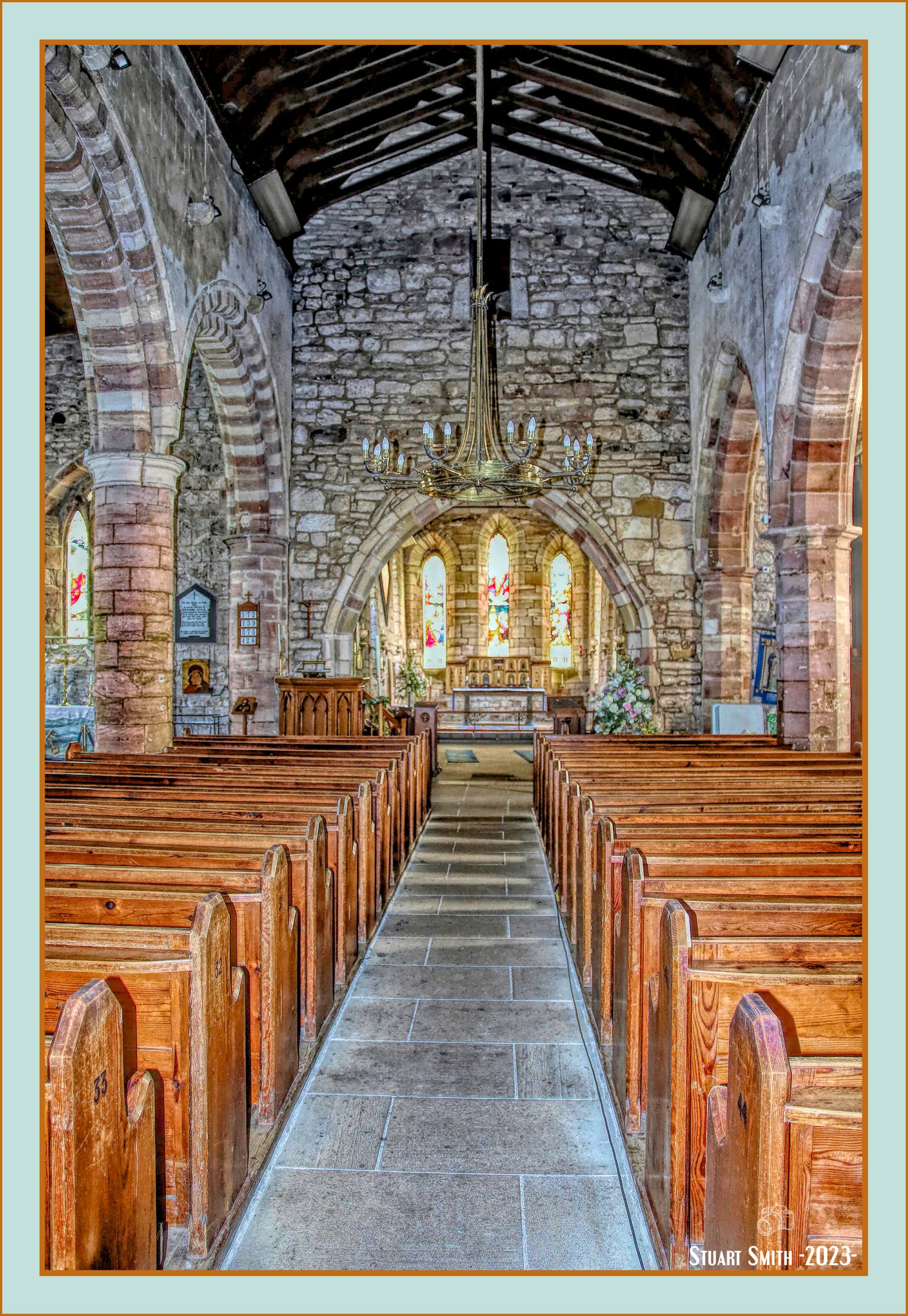
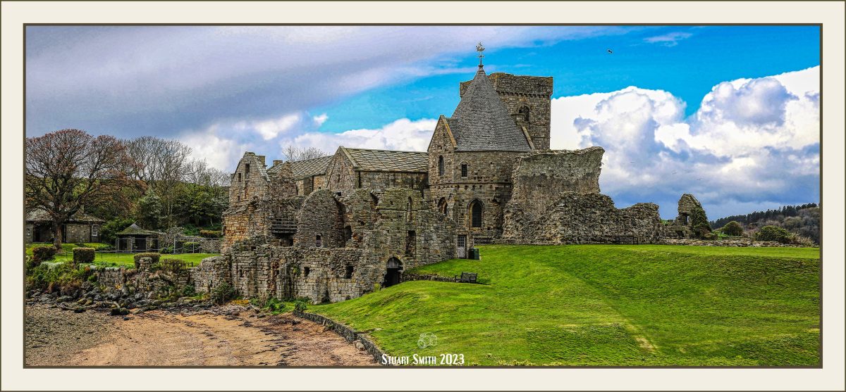
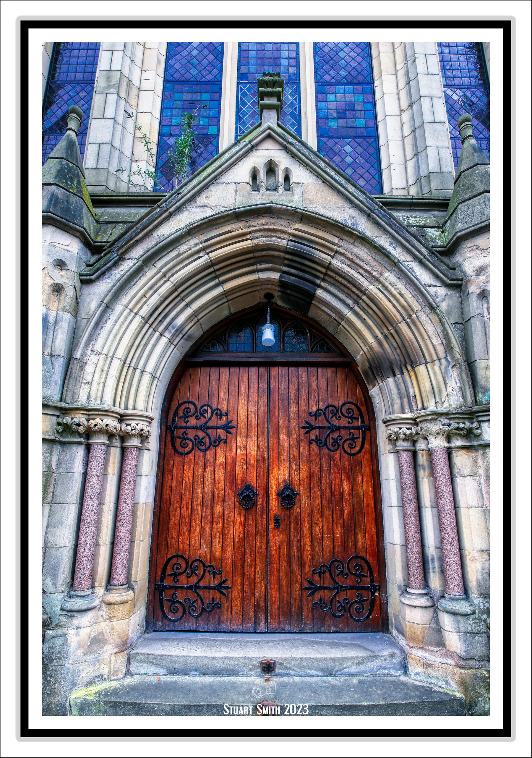
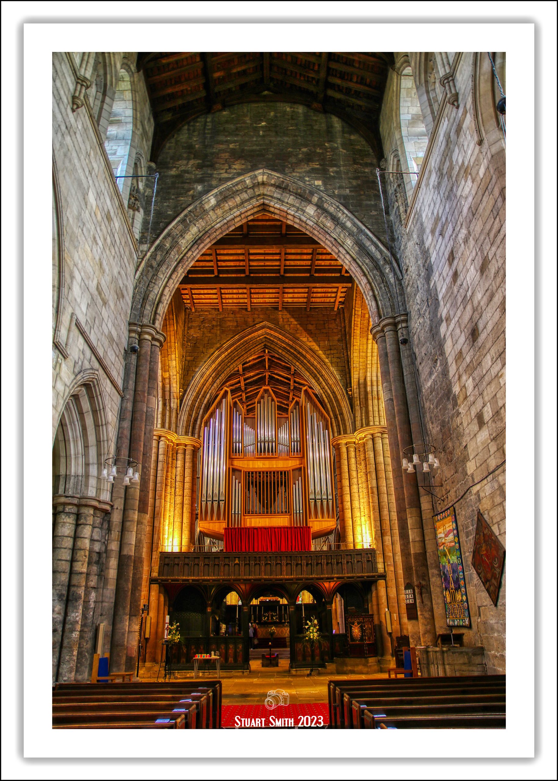
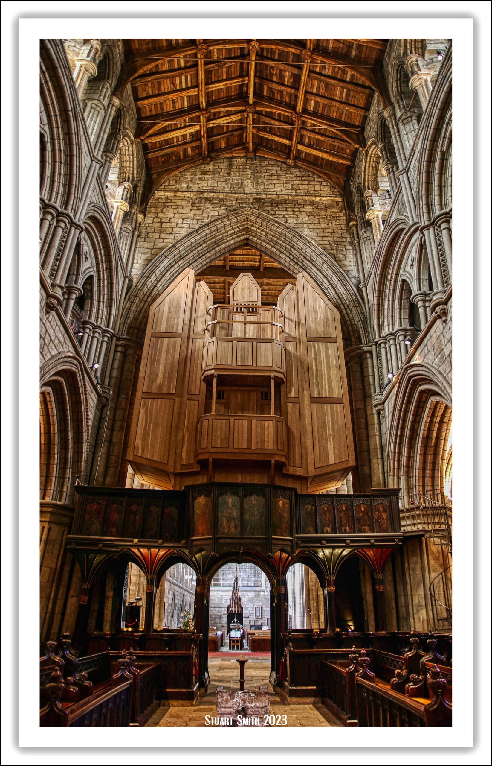
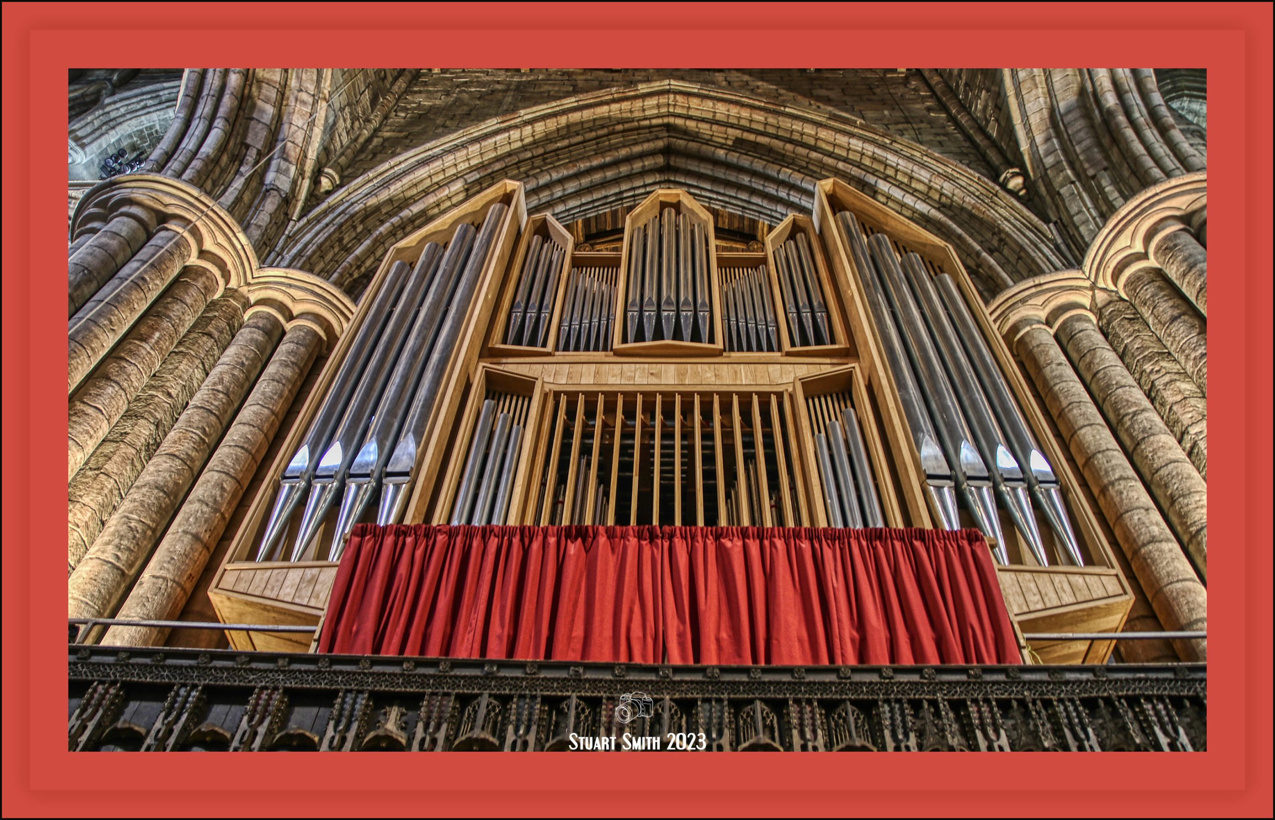
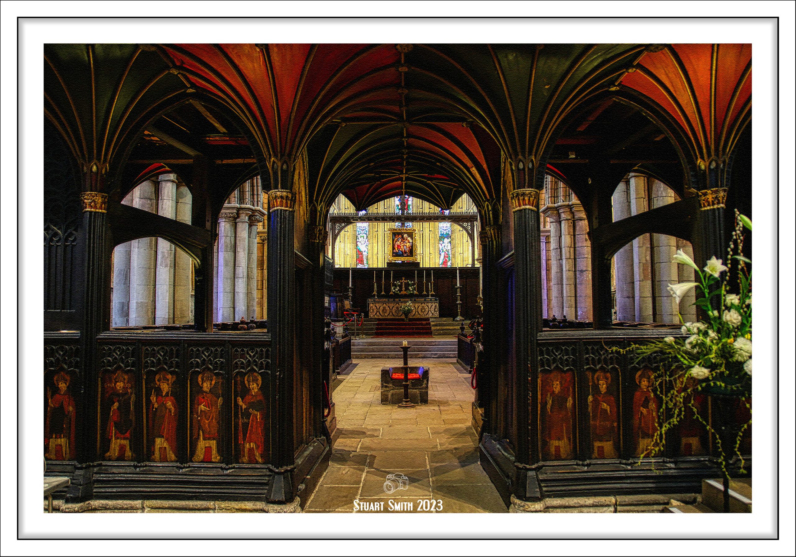
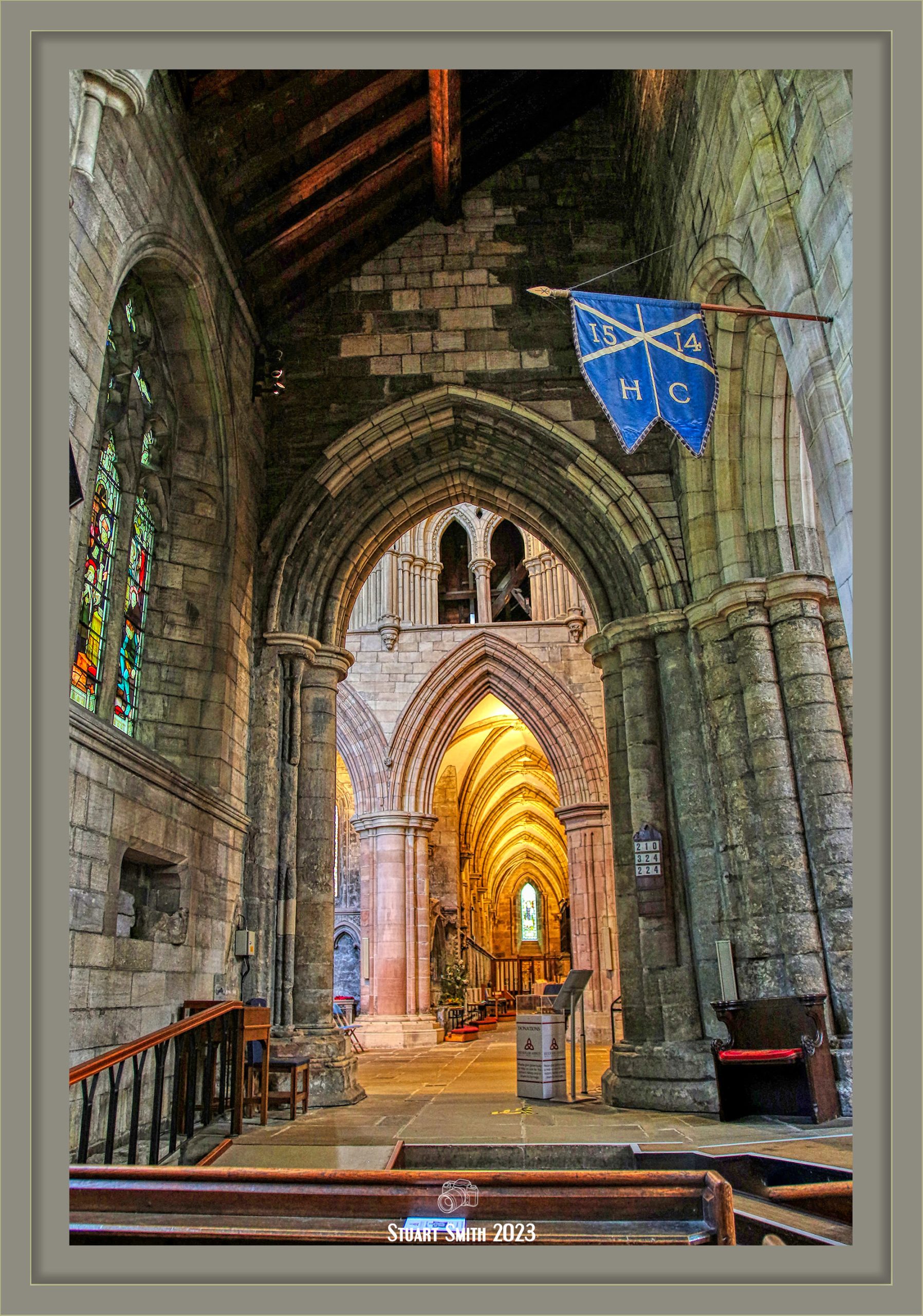
 St Mary the Virgin Church, Church Lane, Holy Island, Northumberland, England UK
Lindisfarne’s parish church of St Mary’s is thought to stand on the site of the wooden church built by St Aidan in 635 AD. Dating from between 1180 and 1300, the parish church is the oldest building on the island (older than the ruined Norman priory), though a round headed arch in the chancel, and a strange high level doorway, are certainly Saxon in style. Mostly, the church now dates from the 12th century.
The long nave could indicate that this is one of the churches of the original monastery, or it could have been built by the Christianised Vikings, for whom this was an important place.
 “The Journey”, St Mary’s Church, Holy Island, Northumberland, England UK
Depiction of Monks carrying Cuthbert’s coffin away from Holy Island to protect it from Viking raiders.
Image 1: —– Image 2:
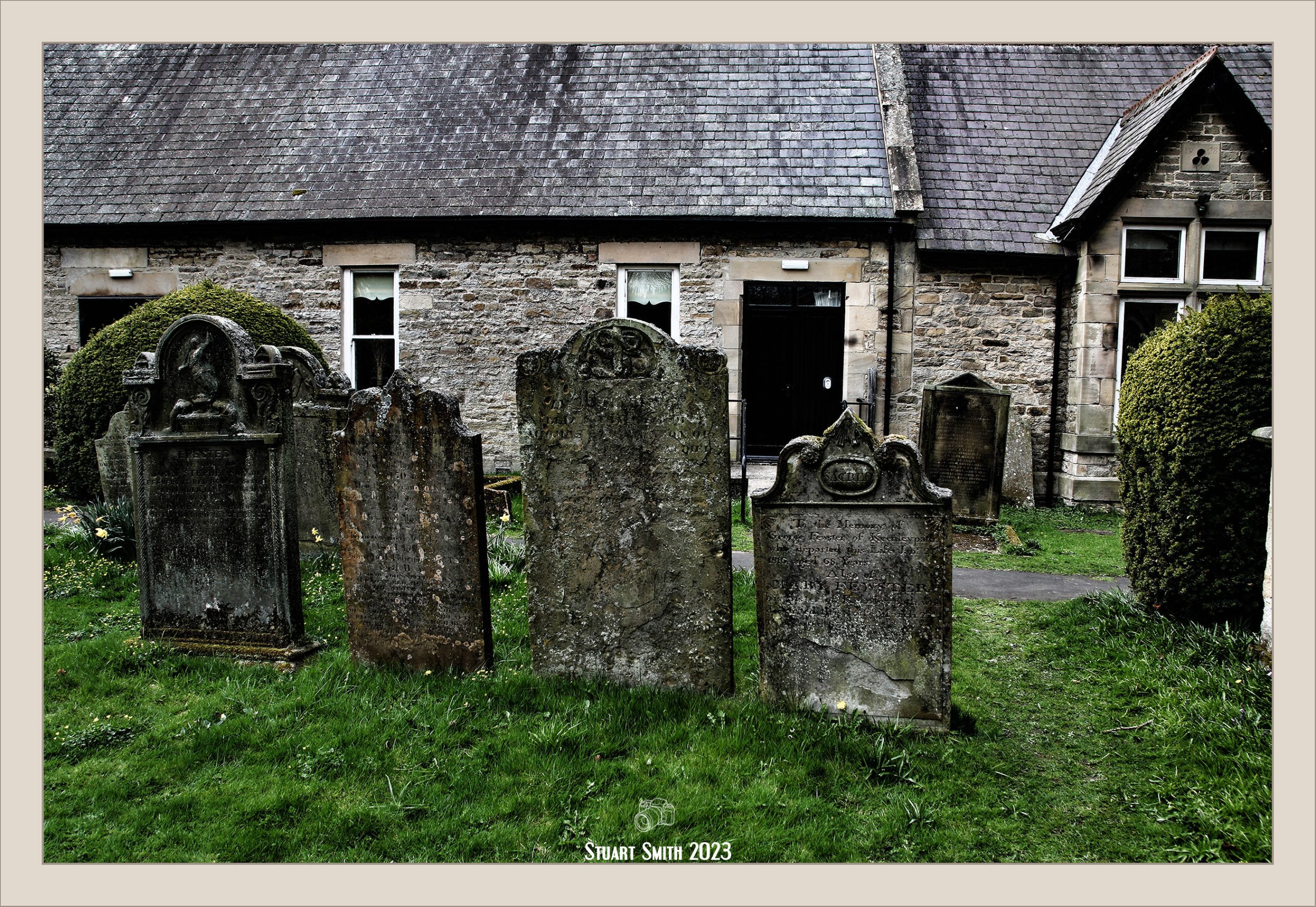
 Headstone, John Morton, St Mary’s Church, Holy Island, Northumberland, England UK
 Headstone, George Murray, St Mary’s Church, Holy Island, Northumberland, England UK
 Headstone, St Mary’s Church, Holy Island, Northumberland, England UK


 Underground Public Convenience, Piazza delle Erbe, Padova, Veneto, Italy
 Torre dell’Orologio, Piazza dei Signori, Padova, Veneto, Italy
 The Monument to Alvise Pisani, Via Altinate, Padove, Veneto, Italy
 Street Sand Sculptor, Piazza Camillo Benso Conte di Cavour, Padova, Veneto, Italy
 Street Lamp, Via Cavour, Padova, Veneto, Italy
 Street Art, Padova, Veneto, Italy
 Stone Carving, 6 Piazza Garzeria, Padova, Veneto, Italy
 Staircase, Hotel al Prato, Via Prato della Valle, Padova, Veneto, Italy
 “Spritz”, Vicolo Restaurant, Via Umberto I, Padova, Veneto, Italy
 Ornate Colonnade, Palazzo Delle Debite, Piazza delle Erbe, Padova, Veneto, Italy
 Old Wall, Chiesa dei Santi Canzio, Canziano, Canzianilla e Proto, Via delle Piazze, Padova, Veneto, Italy
 Mondadori Bookstore, via Cavour, Padova, Veneto, Italy
 Memorial, Palazzo Moroni, Via VIII Febbraio, Padova, Veneto, Italy
 Markets, Prato della Valle, Padova, Veneto, Italy
 Local Tram, Prato della Valle, Padova, Veneto, Italy
 Gatta di Sant’Andrea, Via Sant’Andrea, Padova, Veneto, Italy
 Gateway, Prato della Valle, Padova, Veneto, Italy
 Front Garden, Hotel al Prato, Via Prato della Valle, Padova, Veneto, Italy
 Doorway, 15 Piazza Duomo, Padova, Veneto, Italy
 Colonnade, Via Roma, Padova, Veneto, Italy
 Colonnade Path, Via Emanuele Filiberto di Savoia, Padova, Veneto, Italy
 Chiesa dei Santi Canzio, Canziano, Canzianilla e Proto, Via San Canziano, Padova, Veneto, Italy
 Building Cornerstone, Piazza delle Erbe, Padova, Veneto, Italy
 Bridge Parapet, Ponte San Massimo, Padova, Veneto, Italy
 Basilica Cattedrale di Santa Maria Assunta & Battistero di San Giovanni,Piazza Duomo, Padova, Veneto, Italy
 Arco Vallaresso, Via Arco Vallaresso, Padova, Veneto, Italy
 Venetian Winged Lion, Palazzo della Ragione, Piazza delle Erbe, Padova, Veneto, Italy