Continuing the collection of old images of the early mining days in the northern goldfields of Western Australia, mainly the old Sons of Gwalia Mine at Leonora but also many of other surrounding places.
See this link for a map showing Leonora and Gwalia

The Underground Access – Sons of Gwalia Mine

Horse Rider is Les Willey, with the Owner Bill Biggs Circa 1940s

“Dick & Mary” in Mine Manager’s House Swimming Pool

Mine Manager’s House Swimming Pool

Mine Manager’s House
It was much later named after Herbert Hoover the first future president of America who was the first mine manager. It was completed after he left Leonora and never lived here.

Sons of Gwalia Mine Headframe
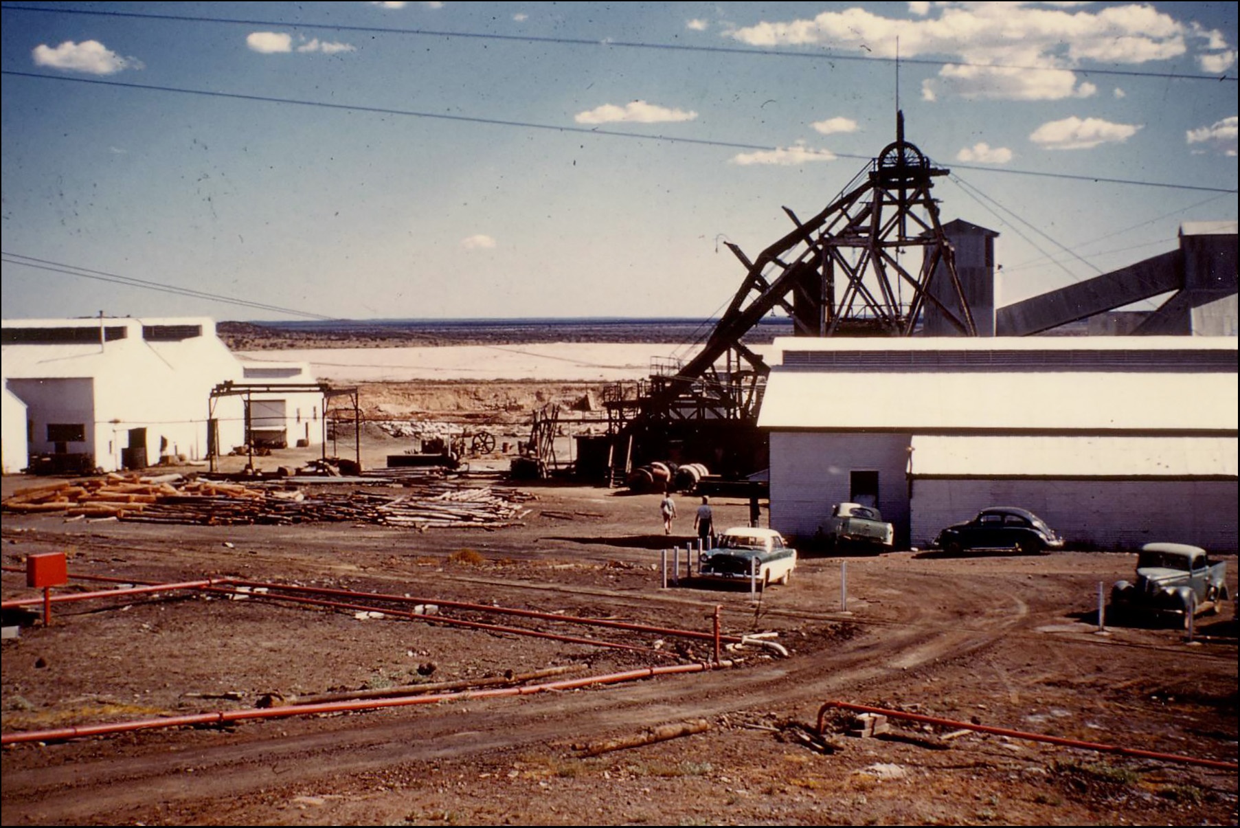

The Sons of Gwalia Mine – Late 1950s

The Gwalia State School 1948

School Master’s House 1948
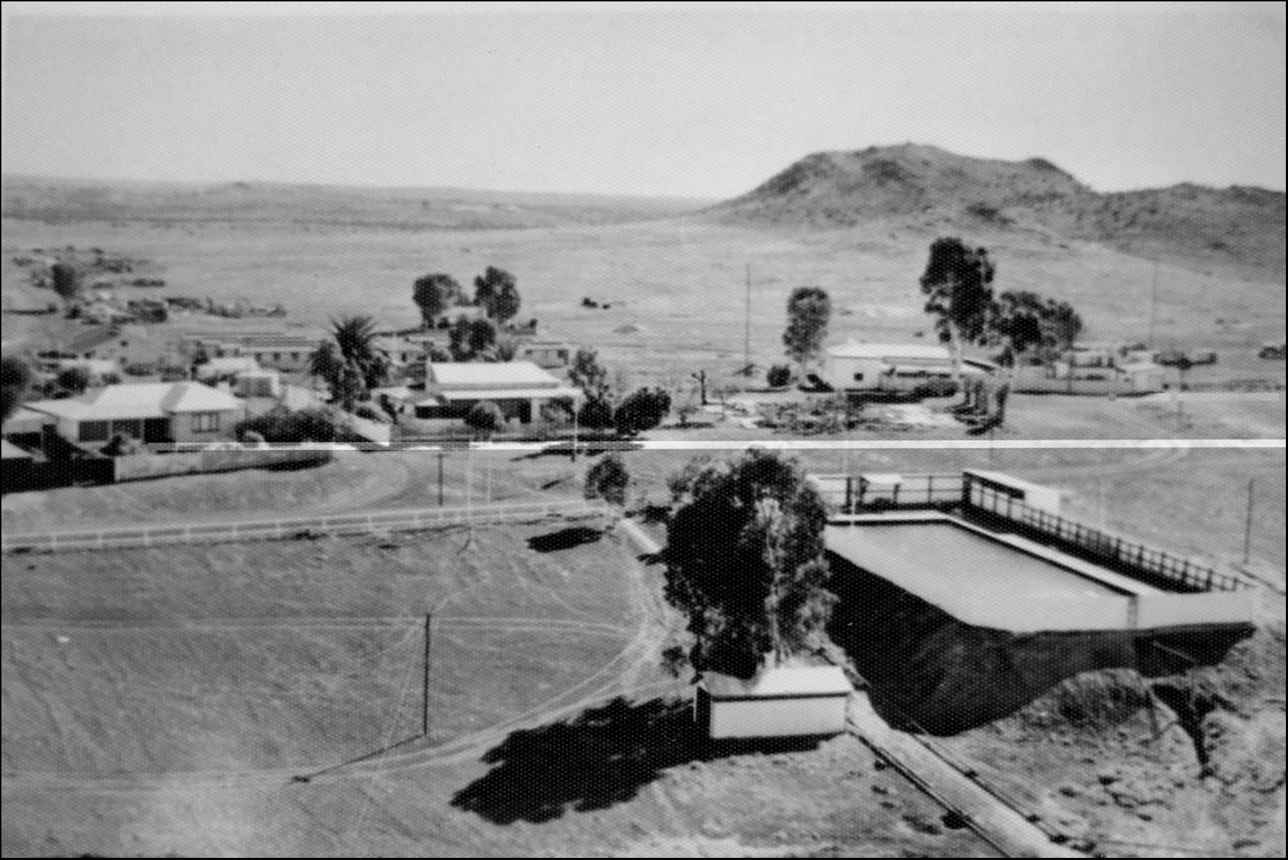
Aerial View of the Public Pool, Gwalia
This was reputedly the first public swimming pool in Western Australia. It also doubled as a fire fighting water supply for the mine.

Aerial View of the Gwalia Open Cut


Early Days of the Open Cut

Gwalia Methodist School Picnic 1919


Groups of Sons of Gwalia Employees

“Italian Motor Racing Cyclists” 1932

Gwalia Heaframe Beyond a New Pit

Crash!

“Gum Creek”, Lawlers.
Prospectors left Cue in the Murchison Goldfields and found gold at what is now Lawlers in 1892. Lawlers is about 160 km (100 miles) north of Leonora

Scenes from Great Western Mine, Wilson’s Patch
Wilson’s Patch was about 70 Km (42 miles) north of Leonora on the road to Agnew.

Outside Great Western Hotel

“Gold Dinner” – Mt Malcolm

A Group of Well Dressed Gentlemen

The 4 o’clock Shift


Engineering

Fitters’ Shop 1932

Leonora Municipal Tramcar 1903

The Last Tram Run in 1915

Lawlers Hotel

Small Steam Engine used on the Mine

Lapsley’s Drays, Doyles Well

Jack Mahomet’s Camel-Train 1930

Inside the Gwalia Mine Manager’s House 1921

Imperial Hotel, Malcolm

Great Eastern Hotel, Lawlers 1921