Wagin, Western Australia

A day trip to Wagin, a rural town in the Great Southern region of Western Australia. It is 225 km from the state capital Perth and is well regarded as a wheat and sheep producing region. It came into being in 1889 after construction of the Great Southern Railway and was originally named Wagin Lake. Each year (it beat the pandemic this year) Wagin hosts ‘Woolorama’, an agricultural show which is a major community event.


All images are geotagged and hyperlinked to open full screen. To view them on a map, save the image to your hard drive and then download this FREE SOFTWARE. Install and click on the image in the left panel to view in a map as to the location where it was taken.  (SAMPLE VIEW)


“Bart” The Giant Ram, Wetlands Park, Arthur Road, Wagin, Western Australia

Butterick’s Buildings, Tudhoe Street  c.1912

Post Office, Tudhoe Street

Palace Hotel, Tudhoe Street c.1905

Mitchell Hall Hotel, Tudhoe Street, c. 1895

Mitchell House, Tudor Street

Butterick Building, Tudor Street c.1905

Rotunda, Tudor Street

Galt Drinking Fountain, Tudor Street

This fountain was presented to the Municipality of Wagin in January 1929 by Alexander Galt, an immigrant Scotsman, who operated a hardware importer business in town. It is number 18 manufactured at Walter Macfarlane’s Saracen Foundry in Glasgow, Scotland.

National Australia Bank, Tudor Street

Courthouse, Tudor Street

Moran’s Wagin Hotel, Cnr Tudor and Tavistock Streets c.1900

“Ladies Rest.Room”, Tavistock Street

Rear Garden, Cresswell’s Emporium, Tudor Street

Town Hall, Tudor Street

Wagin District Club, Tavistock Street

Loading Doors, Heritage Building, Tavistock Street

14 Tavistock Street

Rusting Dodge, Tavistock Street

Uniting Church, Ranford Street

Wagin Argus, Cnr Ranford and Tavistock Streets

‘Crumbling’, Wesley Hall, Tavistock Street

Fence Line, Tavistock Street

Street Sign, Tavistock Street

Note the Ram logo – on every street sign in town

St George’s Anglican Church, Lukin Street

St George’s Hall, Cnr Trenton & Tarbet Streets

Council Gardens, Arthur Road

Wetlands Park, Arthur Road

Country Cottage, Trenton Street

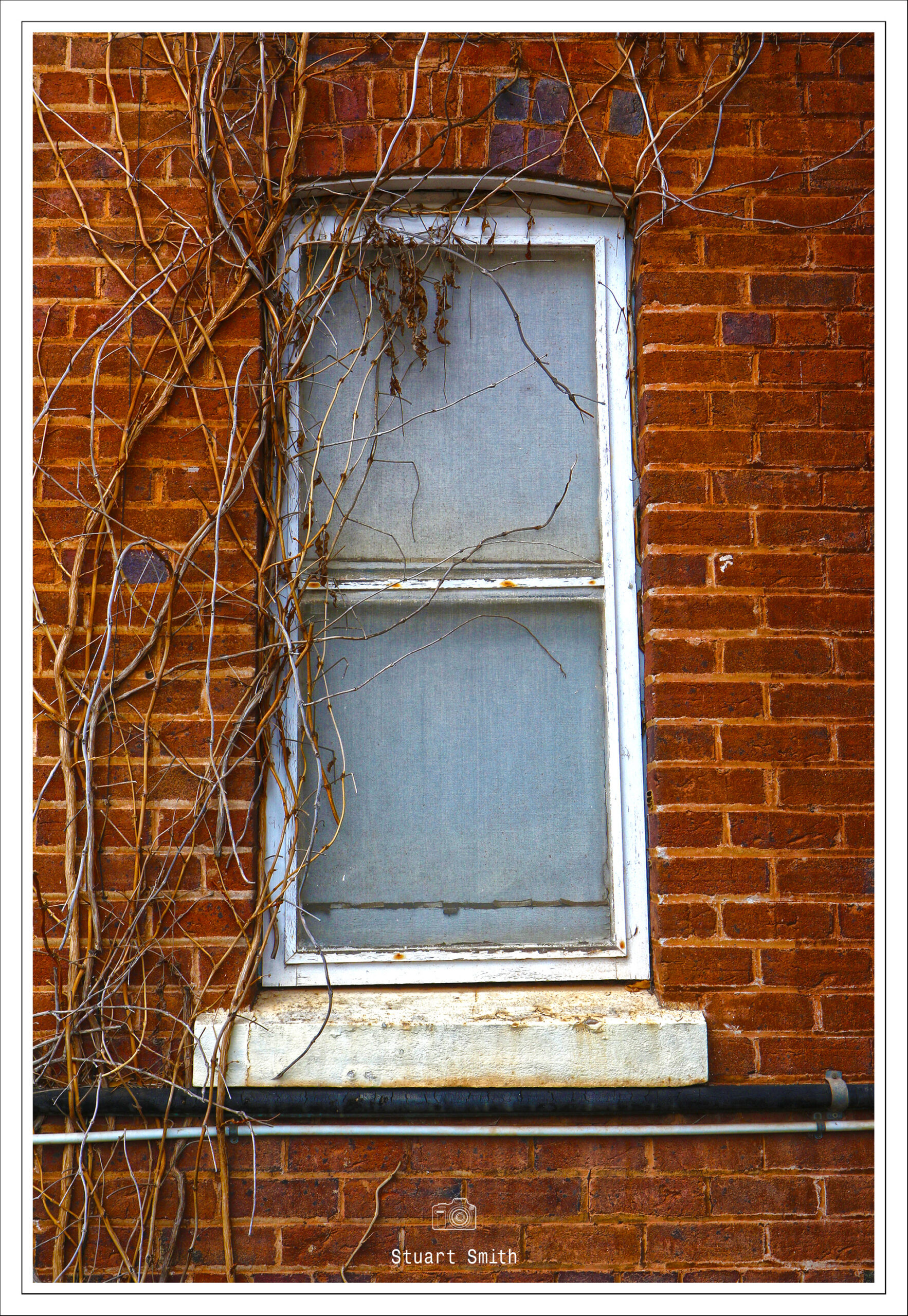
Old Industrial Building Windows, Tarbet Street

Masonic Hall, Tarbet Street c.1907

Wheel Rim, Beaurepaires, Tudhoe Street

Community Centre, Tudhoe Street

Originally built for the Union Bank in 1927 and once occupied by Elder Smith & Co. Now a community centre and utilised also by the local RSL.

Street Mural, Trent Street

Wagin Road Board, Trent Street c.1912

“Rustic Furniture”, 76 Tudhoe Street

Derelict Rural Buildings, Great Southern Highway (…and goat)

Railway Tracks

Graffitied Railway Rolling Stock, Great Southern Highway


Leonora Rain Storm Aftermath

Just a brief trip back in time for some images of a pretty heavy dose of rain on 12 February 2014 in Leonora, Western Australia.

See Google Maps position of Leonora [Click me]


All images are geotagged and hyperlinked to open full screen. To view them on a map, save the image to your hard drive and then download this FREE SOFTWARE. Install and click on the image in the left panel to view in a map as to the location where it was taken.  (SAMPLE VIEW)


Tower Street, between Leonora & Gwalia

Goldfields Highway

Goldfields Highway and Nambi Road Corner

Rajah Street

Railway Bridge at Rajah Street

Port Arthur Penal Settlement, Tasmania, Australia September 2004

NOTE: Clicking on any image will now see it open in a new tab and not in the current page.

A break from more recent travels and a jump back to a 2004 trip to Tasmania and visit to the Port Arthur Penal Settlement.

From 1833 until 1853, Port Arthur was the destination for the hardest of convicted British criminals, those who were secondary offenders having reoffended after their arrival in Australia. Rebellious personalities from other convict stations were also sent there. In addition, Port Arthur had some of the strictest security measures of the British penal system.  The World Heritage Committee of UNESCO inscribed the Port Arthur Historic Site onto the World Heritage Register on 31 July 2010, as part of the Australian Convict Sites World Heritage property. Port Arthur is one of Australia’s most visited historical sites, receiving over 250,000 visitors each year.


All images are geotagged and hyperlinked to open full screen. To view them on a map, save the image to your hard drive and then download this FREE SOFTWARE. Install and click on the image in the left panel to view in a map as to the location where it was taken.  (SAMPLE VIEW)


<>Download a Port Arthur Guide Here!<>

The Guard Tower 1835

The Asylum

Junior Medical Officer’s House, Port Arthur Penal Settlement


The Penitentiarty

Lime Kiln & The Master Shipwrights House at the Dockyard

Isle of the Dead, Carnarvon Bay, Port Arthur

Isle of the Dead is a small Island adjacent to Port Arthur, Tasmania, Australia. The isle is historically significant as it retains: an Aboriginal coastal shell midden; one of the first recorded sea level benchmarks and one of the few preserved Australian convict period burial grounds.

Isle of the Dead forms part of the Port Arthur Historic Site. This site is part of Australian Convict Sites and is listed as a World Heritage Property, as it represents convictism in the time of British colonisation.

The Penitentiary

Price’s Kiln, Port Arthur

Built on land purchased in 1886 following the closure of the Port Arthur Penal Settlement by an English potter from Staffordshire, James Price. Following the death of Price, the kiln was used by local fisherman as storage until it in part collapsed. In 1982, it was fully restored but has never been put to use due to the fragility of the historic bricks.