Chiesa Parrocchiale di Santa Maria della Carità, Via San Felice, Bologna

Inscription, San Nicolò di San Felice, Via San Felice, Bologna
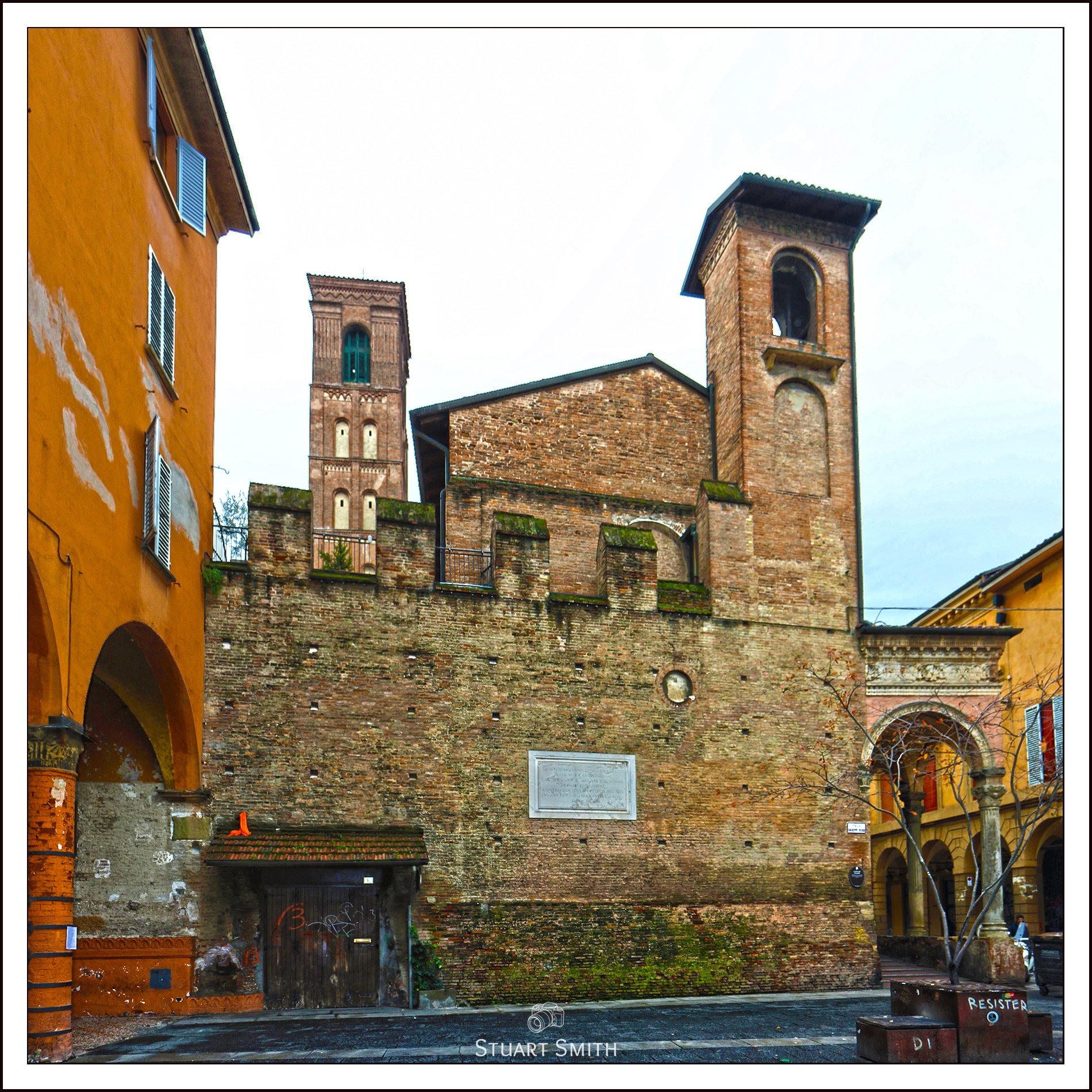
San Nicolò di San Felice is a deconsecrated Roman Catholic church located on via San Felice 41 in Bologna, region of Emilia Romagna, Italy. Bombardment during World War two caused sufficient damage to close the brick walled structure with a front portico.
A church at the site is documented since the 12th-century, when it was located outside the city walls.
CRUCEM HANC
INSIGNE REDEMPTIONIS HUMANAE VEXILLUM
A BONONIENSIBUS CIVIBUS
VIX NASCENTE ECCLESIA
IN SUSCEPTAE FIDEI ARGUMENTUM
ERECTAM
INDE SAEPIUS INIURIA TEMPORUM COLLAPSAM
ITERUMQUE PRISTINO LOCO RESTITUTAM
VESPASIANUS GRIMALDI
ALPHONSO PALEOTTO ARCHIEPI(SCOPO) BONONIEN(SI)
SUB INITIUM SUPERIORIS SECULI (!)
IN VIAE HUIUS MEDIO
SUPER PONTEM QUO FIRMIUS SUBSISTERET
COLLOCAVIT
VERUM PONTE PRO AMPLIANDA VIA DESTRUCTO
EAMDEM CRUCEM
HIERONYMO GRIMALDO S(ANCTAE) R(OMANAE) E(CCLESIAE) CARDINALI
TIT(ULO) SANCTAE BALBINAE
BONONIAE LEGATO
PROSPER LAMBERTINUS S(ANCTAE) R(OMANAE) E(CCLESIAE) CARDINALIS
TIT(ULO) SANCTAE CRUCIS IN IERUSALEM
ARCHIEPISCOPUS BONONIENSIS
SACRI ROMANI IMPERII PRINCEPS
AEMULA MAIORUM SUORUM PIETATE
SUB HAC PORTICU SACRAE HUIUS AEDIS PARIETI
AFFIGI CURAVIT
ATQUE SOLEMNI RITU BENEDIXIT
OMNIBUSQUE CORAM IPSA DEVOTE ORANTIBUS
ET PRO PATRIAE INCOLUMITATE
VOTA SUA OMNIPOTENTI DEO NUNCUPANTIBUS
CENTUM DIERUM INDULGENTIAM BENIGNE CONCESSIT
ANNO MDCCXXXII
—
Translation
“This cross, an extraordinary sign of human redemption, erected by the citizens of Bologna when the church was just being born in defense of the embraced faith, then very often ruined by the ravages of time and each time restored in its original place, Vespasiano Grimaldi, when it was Archbishop of Bologna Alfonso Paleotti, at the beginning of the last century, placed it in the middle of this street above the bridge, so that it could resist more firmly.
However, this bridge having been destroyed to widen the road, when Girolamo Grimaldi, cardinal of the Holy Roman Church with the title of Santa Balbina, Prospero Lambertini, cardinal of the Holy Roman Church with the title of Santa Croce in Gerusalemme, Bologna, prince of the Holy Roman Empire, took care that the same cross was affixed under this portico on the wall of this sacred building and blessed it with a solemn rite and graciously granted one hundred days of indulgence to all those who prayed devoutly in front of it and who formulated their vows to Almighty God for the salvation of the country.
Year 1732 “.

Entrance, Palazzo Buriani, Via San Felice, Bologna

Basilica di San Francesco, Piazza Malpighi, Bologna
In the foreground is one of the Tombe dei Glossatori – Historical tombs dedicated to the first university teachers.

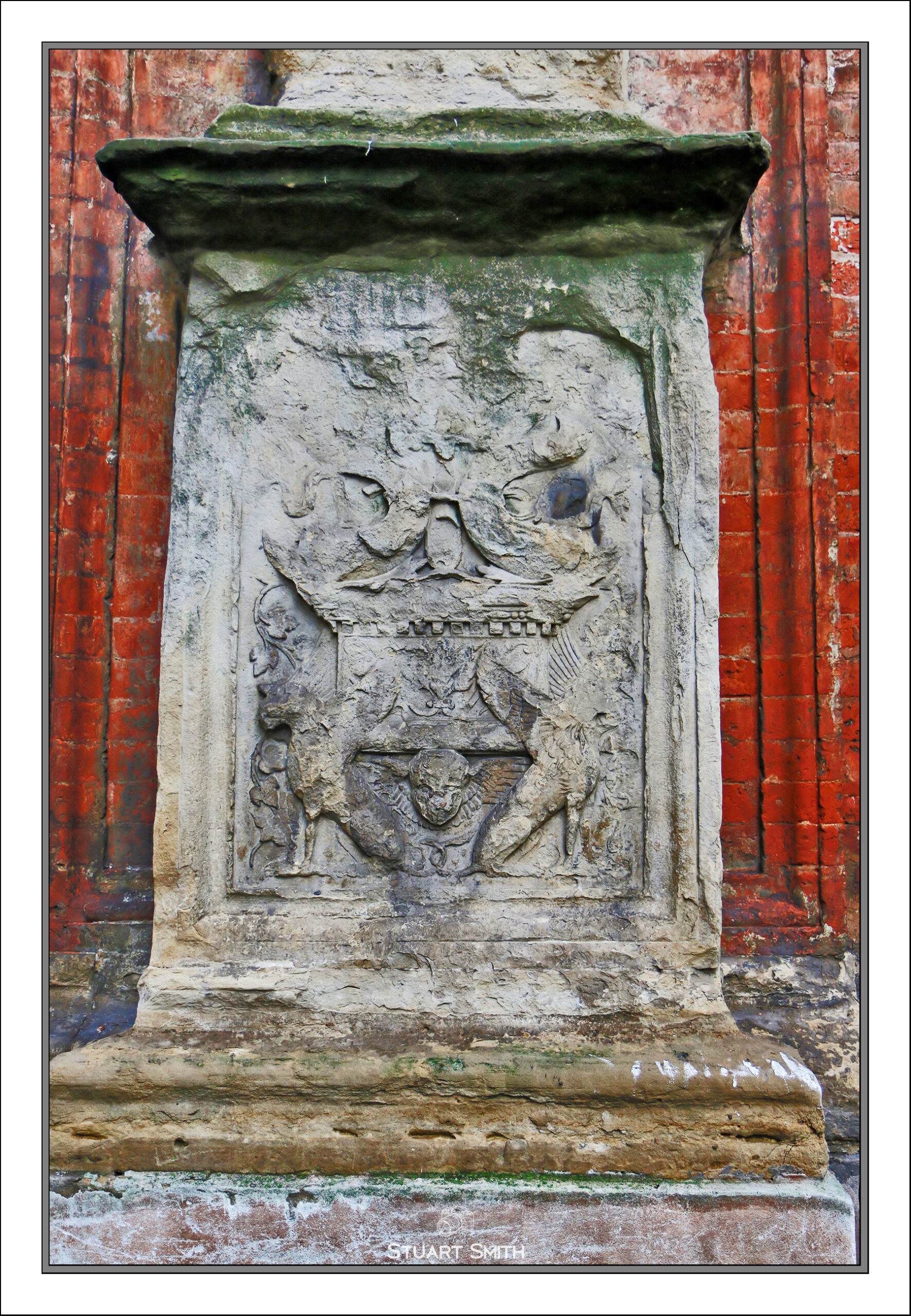
Coat of Arms, Via Rizzoli, Bologna

Towers of Basilica di San Francesco & Colonna dell’Immacolata, Piazza Malpighi, Bologna


Chiesa del Santissimo Salvatore, Via Cesare Battisti & Via VI Novembre, Bologna

Wrought Iron Guard, Via Porta Nova, Bologna
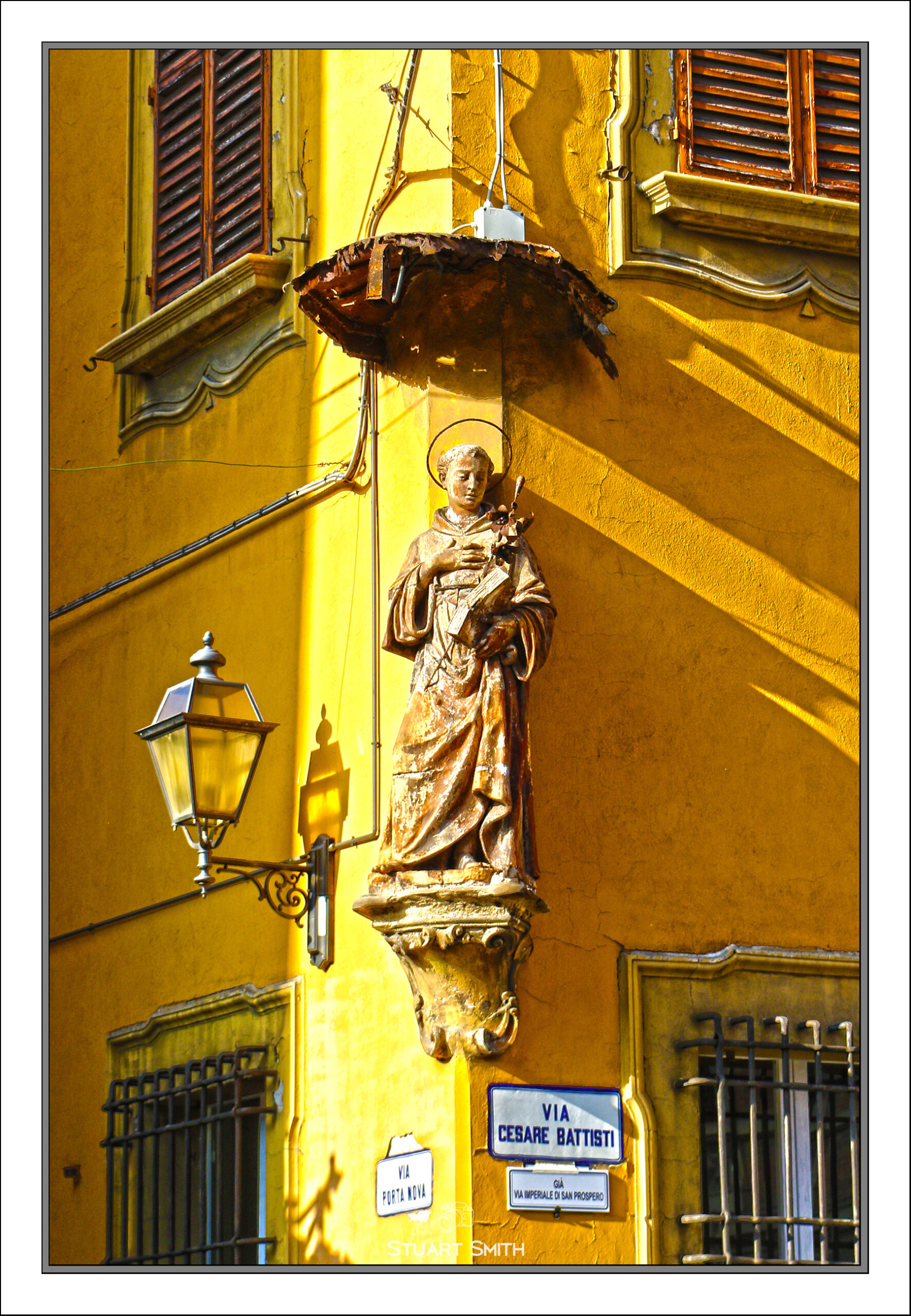
Statue of San Domenico, Cnr Via Porta Nova & Via Cesare Battisti, Bologna
Saint Dominic, also known as Dominic of Osma and Dominic of Caleruega, often called Dominic de Guzmán and Domingo Félix de Guzmán; 8 August 1170 – 6 August 1221), was a Castilian Catholic priest and founder of the Dominican Order. Dominic is the patron saint of astronomers.
The “canopy” above the statue is referred to as a “baldachin” or “baldaquin”.
The church, statues and guard are all visible on this Street View!

Entrance to Residential Block, Via Cesare Battisti, Bologna

Entrance, Palazzo del Governo, Piazza Franklin Delano Roosevelt, Bologna

Colonnade, Palazzo del Governo, Piazza Franklin Delano Roosevelt, Bologna

Colonnade, Prefettura di Bologna, Piazza Galileo Galilei, Bologna


Artwork in the Colonnade, Prefettura di Bologna, Piazza Galileo Galilei, Bologna

Santuario di Santa Maria della Vita, Via Clavature, Bologna


Salumeria Simoni, Via Drapperie, Bologna

Quadrilatero Fiorito, 6 Via Drapperie, Bologna
Carving, Doorway, 5 Via Drapperie, Bologna

Flags, Cnr Via Drapperie & Via Pescherie Vecchie, Bologna

Memorial, P Marella Padre dei Poveri, Cnr Via Caprarie & Via Drapperie, Bologna
This Street View shows a Monk collecting for the charity sitting in front of that memorial plate.

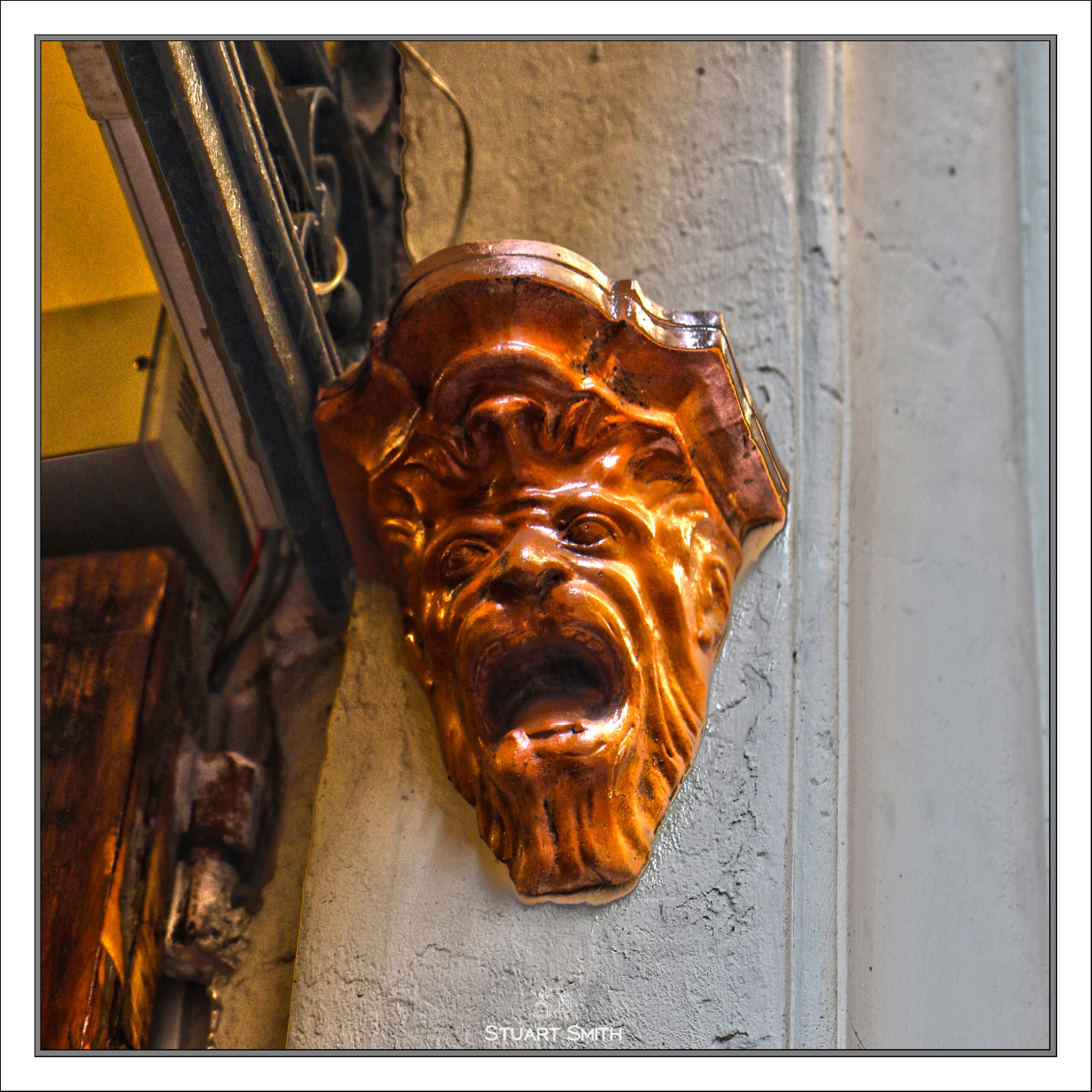
Stone Carving, Cnr Via Caprarie & Via Drapperie, Bologna
Sits above the Memorial to P Marella Padre dei Poveri

Basilica Santi Bartolomeo e Gaetano, Piazza di Porta Ravegnana, Bologna

Enjoy a Beer, Caffé Maxim, Piazza della Mercanzia, Bologna

Along the Colonnade, Via Rizzoli, Bologna

Along the Colonnade, Piazza della Mercanzia, Bologna, Emilia-Romagna, Italy

Piazza di Porta Ravegnana, Bologna

Strada Maggiore, Bologna
It is the only Bolognese street to have preserved the urban designation of “strada” (from the Latin sternere : “pavement”), dating back to Roman times and confirmed by the Napoleonic reform of 1801

Roadside View, A1-Autostrada del Sole, Roncobilaccio, Baragazza